Grizzly Peak

Location: Alberta, CanadaParticipants: Marko Pribilovic, Mat Glessing, Con Sweatman, Jake, Jeremy Stroman, Jeff Trudel, Patrick Latter Time: 5 Hours Weather: +10°C
Directions
Park on Highway 40 at Ripple Creek located just south of Grizzly Creek (about 4.4km North of the winter gates at Peter Lougheed Provincial Park). Trail start and follows the north side of Ripple Creek
Gear
- Hiking Boots
- Food
- Water
- Shell
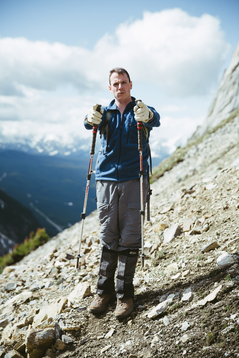
- Warm fleece
- Gaiters
- Adjustable Poles
Camera Gear Used:
- Canon EOS 5D Mark III Digital Camera (Body Only)
- Canon EF 24-70mm f/2.8 L II USM Lens
- Canon EF 17-40mm f/4.0 L IS USM Lens
- IR Modified Canon 5D Mark II
Map
Story
The hike begins with a gentle slope that bends it's way around towards the backside of the mountain.
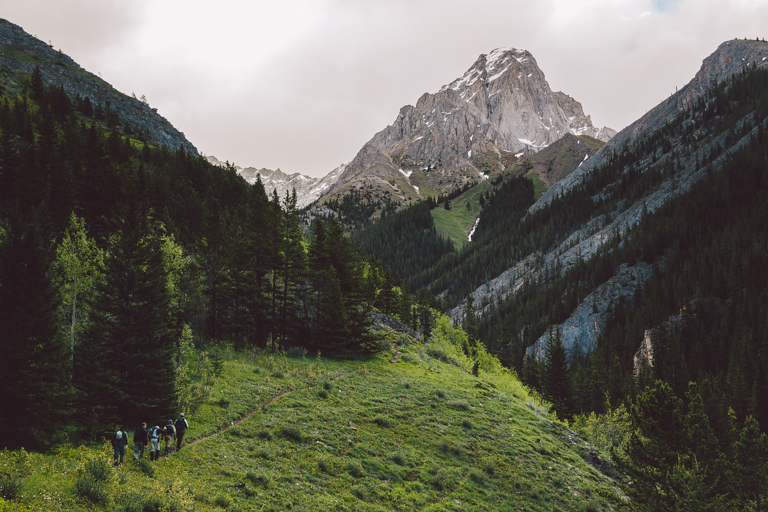
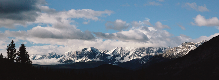
Looking back at the valley, the morning sun began to light up the opposing peaks.
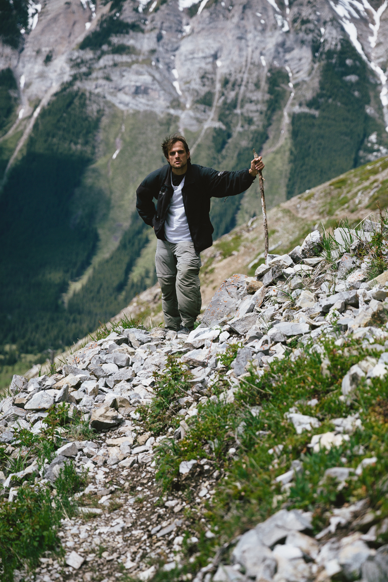
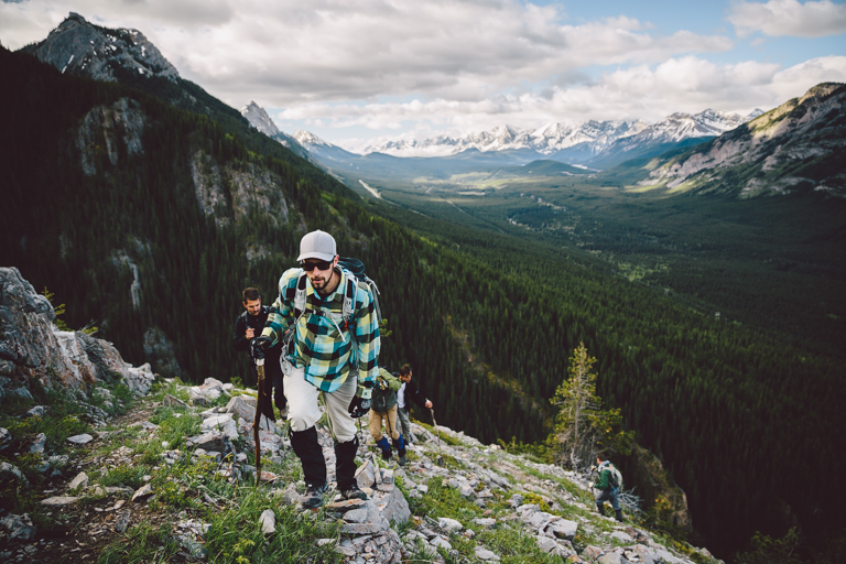
The trail quickly becomes more rocky and it's important to approach this rock band from the right angle to safely continue.
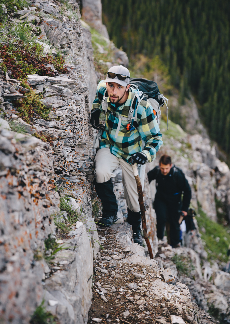
The rock band can be probably be considered the crux of the scramble but is not difficult if you maintain good hand holds along the wall.
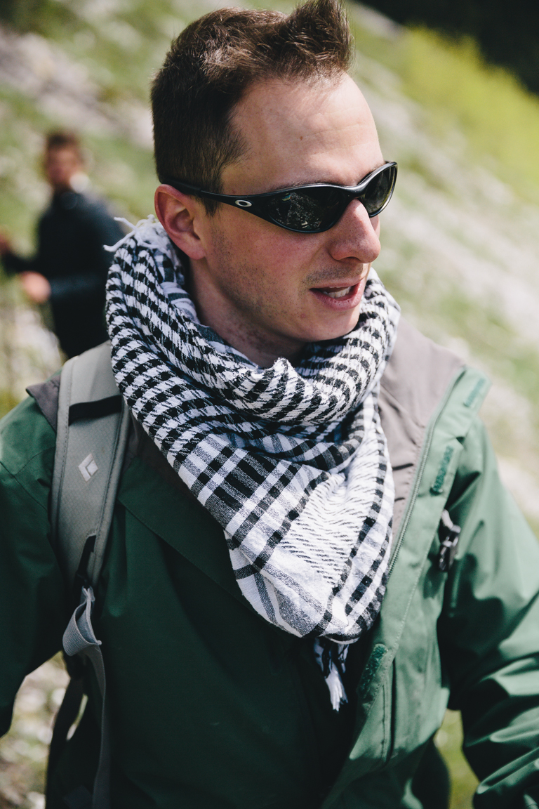
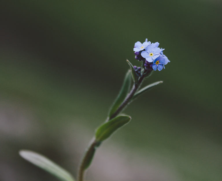
At this time of the the year the small Forget-me-not's are in bloom.
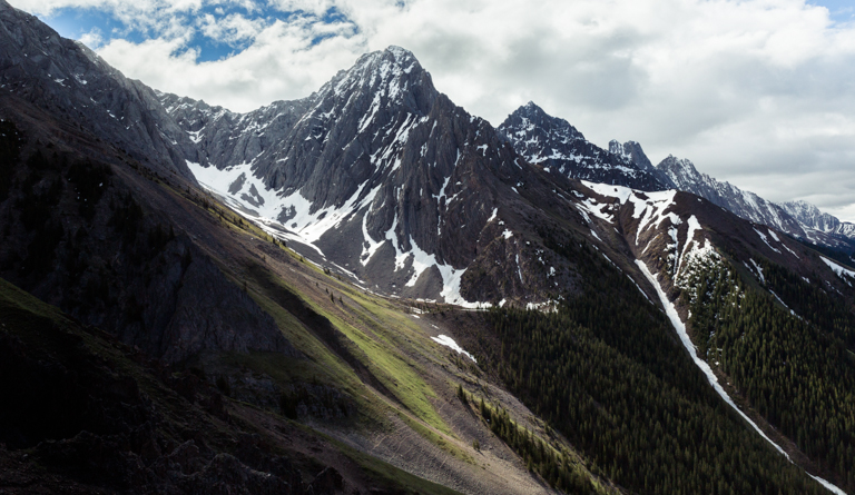
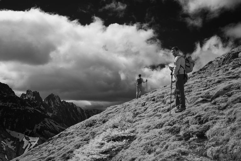
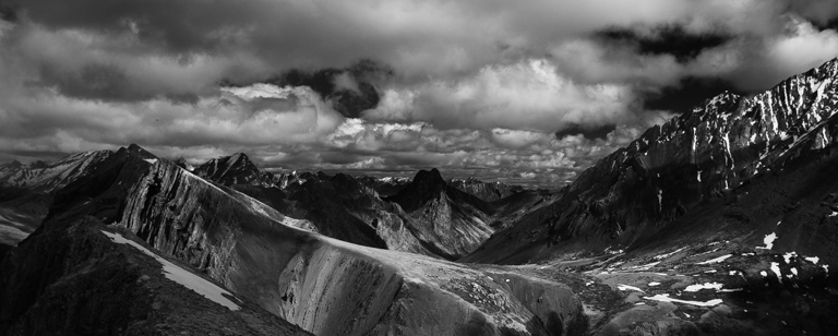
The changing cloud cover was producing some amazing light on towering peaks that lay behind us.
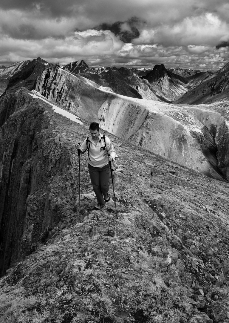
Jeremy taking a rest before making the final approach to the summit.
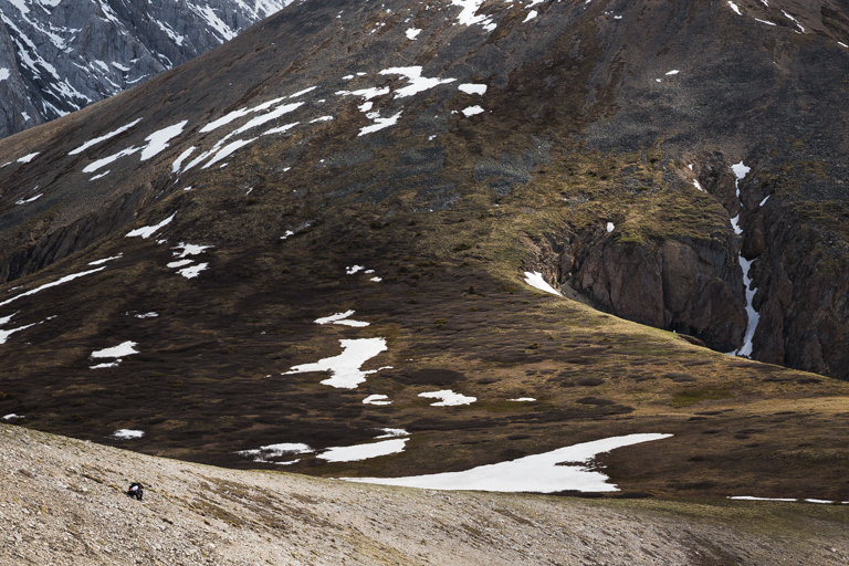
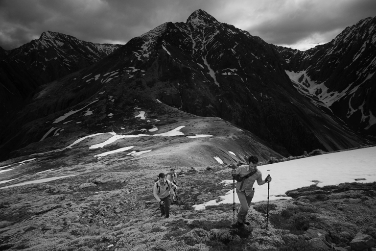
The final approach is a gentle grade of mossy soft vegetation. Some patches of still unmelted snow remained on this north facing slope.
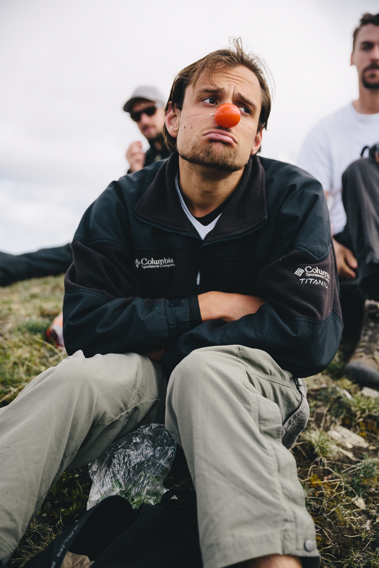
Once at the summit we settled down and ate some lunch. Marko and Mat traded 'Pea shoots' and Bananas...
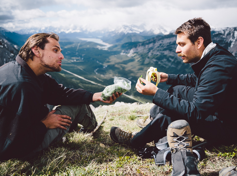
The trade went great for Marko.
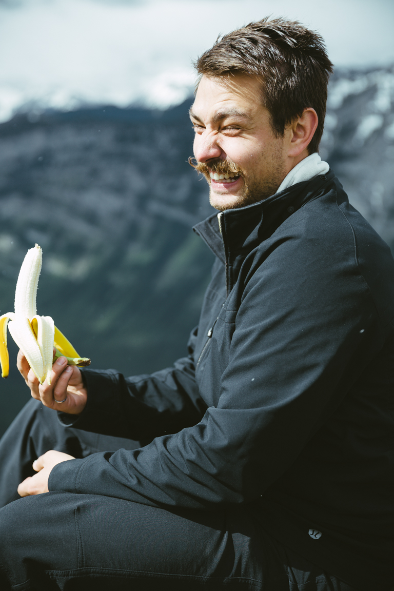
It did NOT go so well for Mat.
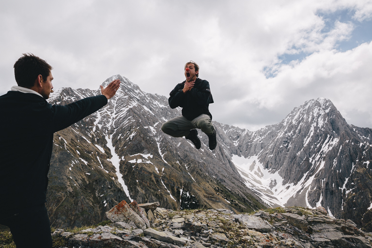
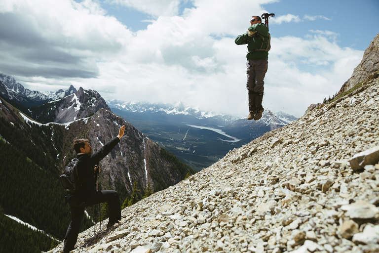
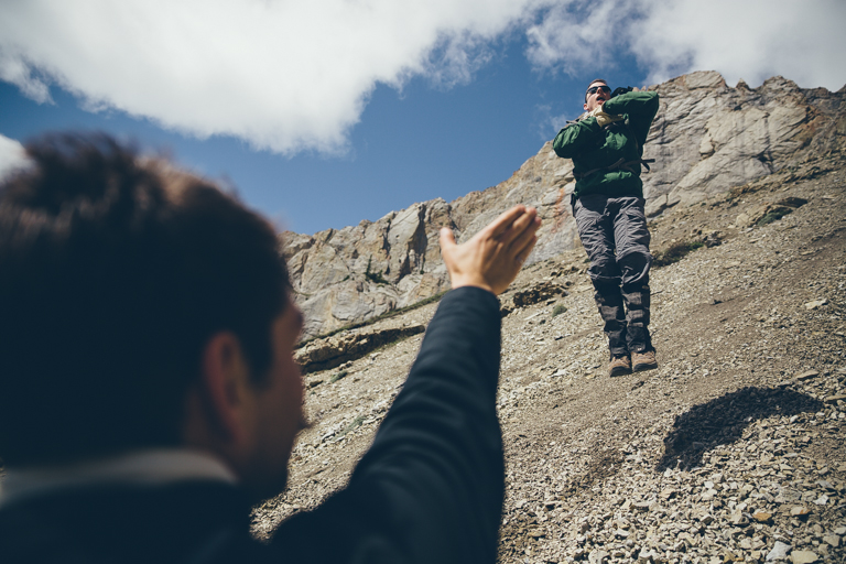
Vadering on a mountain!
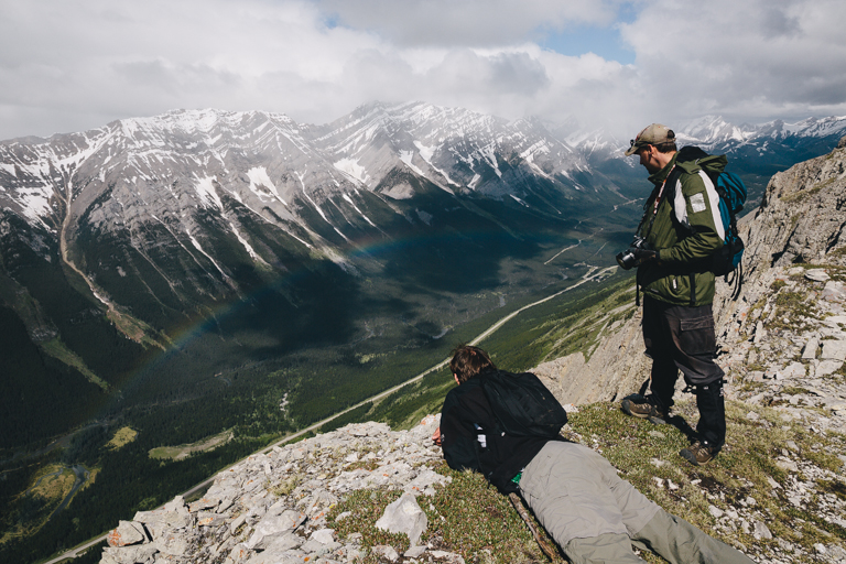
The approaching storm and rain created a rainbow in the valley below!
After lunch we headed back down across the grassy sloped backside of the mountain.
