Mount Yamnuska

Attempt Date: January 19, 2013Participants: Jeremy Stroman, Cory van der Linden, Patrick Latter Distance: 7.9 km Elevation Gain: 960m Max Elevation: 2230m Time: 7 Hours Weather: -5ºC (23ºF)
Directions
From Calgary head west on highway 1 and then take exit 114 to highway 1X, after 3.5km turn right onto Highway 1A. The turn off for Yamnuska is on the left.
Gear
- Food
- Water
- Warm ski jacket
- Warm fleece
- Warm socks (or 2 layers of socks)
- Toque
- Thermal underwear
- Snow-pants or gaiters
- Gloves
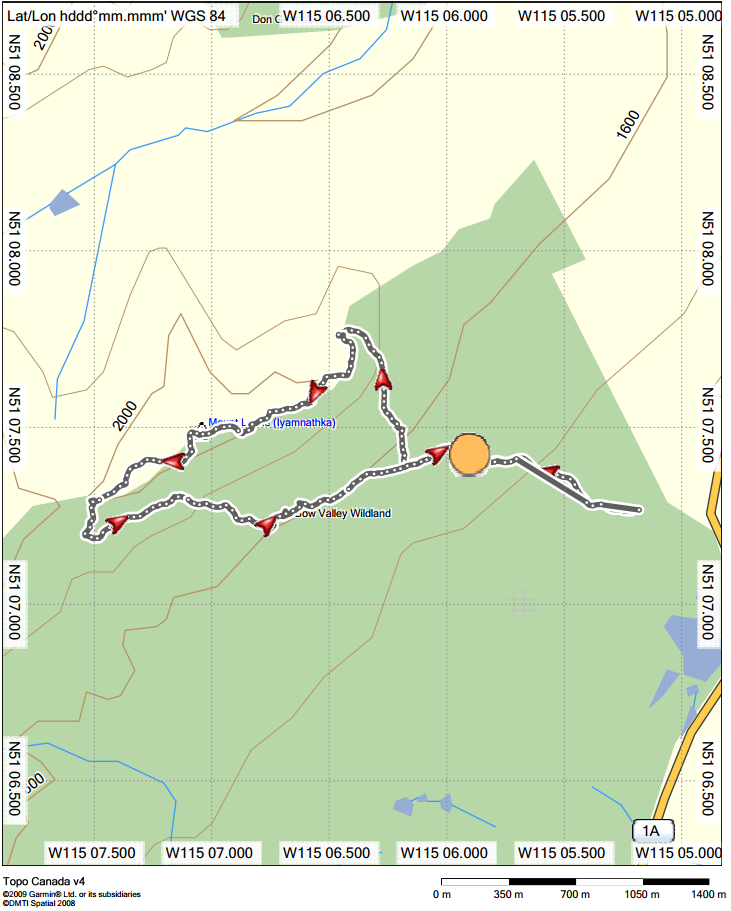
Map
Thank you Cory for providing the map and graph!

Story
As we made our way through the birch trees at the beginning of the trail, the very low lying clouds seemed to be promising near white conditions at the peak.

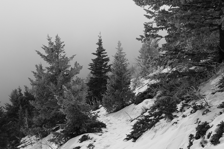
The higher we climbed the thicker the fog seemed to get, until we could no longer see below us.
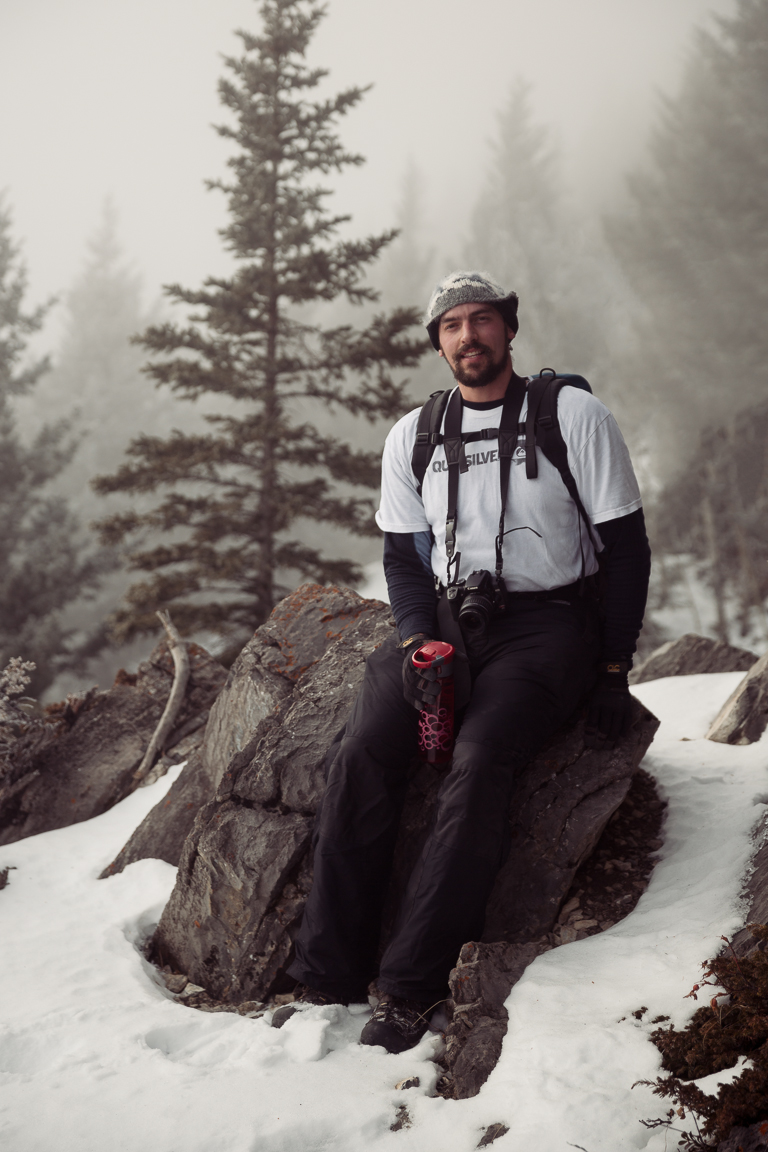
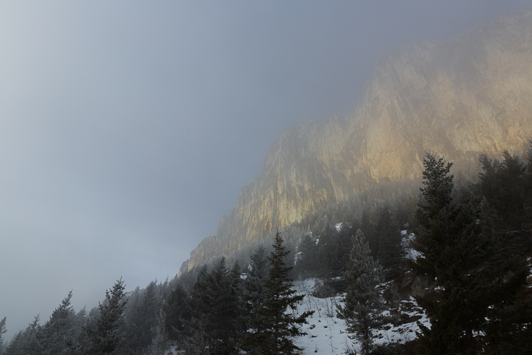
As we neared the bottom of the towering south east face, we began to break through the top layer of clouds. The morning sun bathing the looming rock wall was a welcome sight.
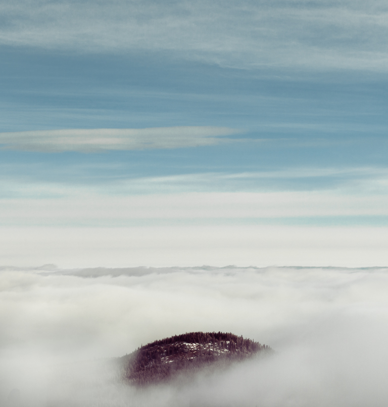
It wasn't long before we were well above the clouds and had an amazing view of the fog covered prairies with the lower part of Yamnuska just peeking out.
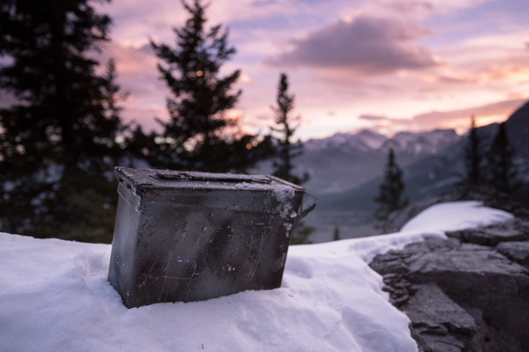
Geocaching involves using a mobile GPS systems to play a sort of digital version of hide and seek with containers. These 'caches' can be found all over the world and there were number of them hidden on and around mount Yamnuska. Using the coordinates given and sometimes a helpful hint, we managed to find a few of them that day. The containers range in size from a small film canister to much larger metal cases.
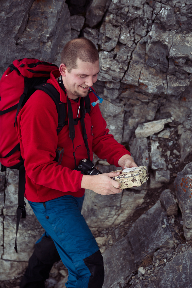
Inside you'll have a logbook and usually some random trinkets. Everybody signs the log and you later go online and sign the digital log for the cache as well.

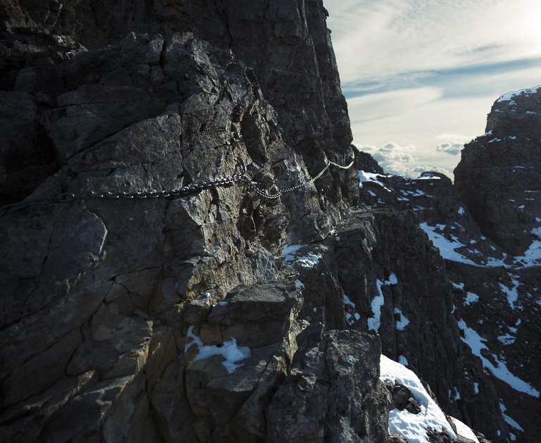
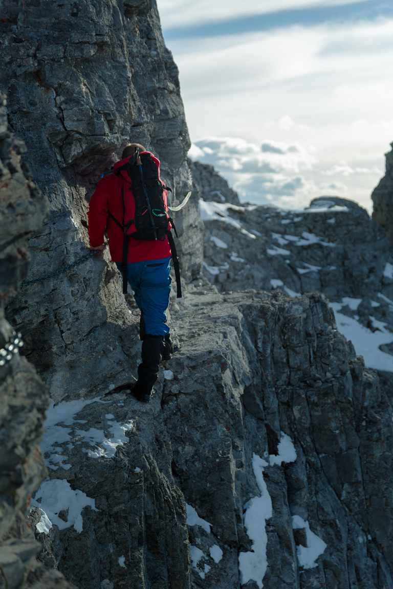
As we made our way towards the summit, you have to keep an eye out for a pile of rocks and some sticks-- these mark the section that must be traversed with the aid of chain bolted to the wall.
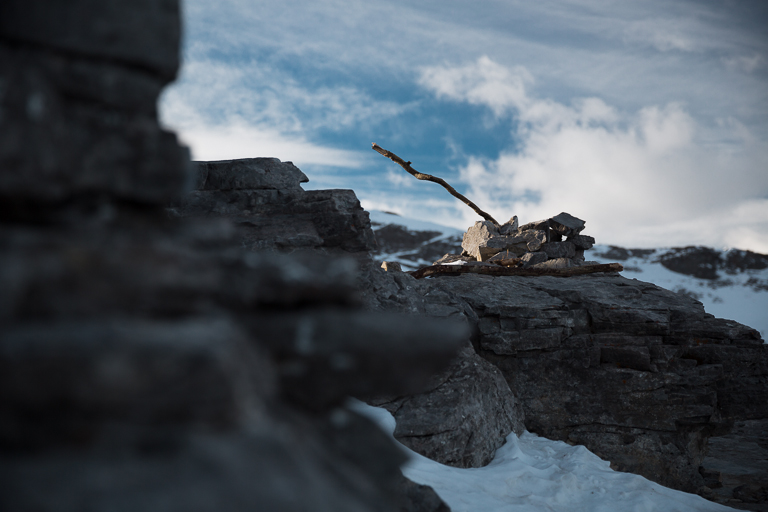
The chain is needed to navigate the very narrow ledge safely. With a 4-5m drop below, you have to give your full attention to this portion of the hike.
The final ridge walk to the summit offers amazing views of the surrounding Rockies and prairies. On a clear day you can even see downtown Calgary.
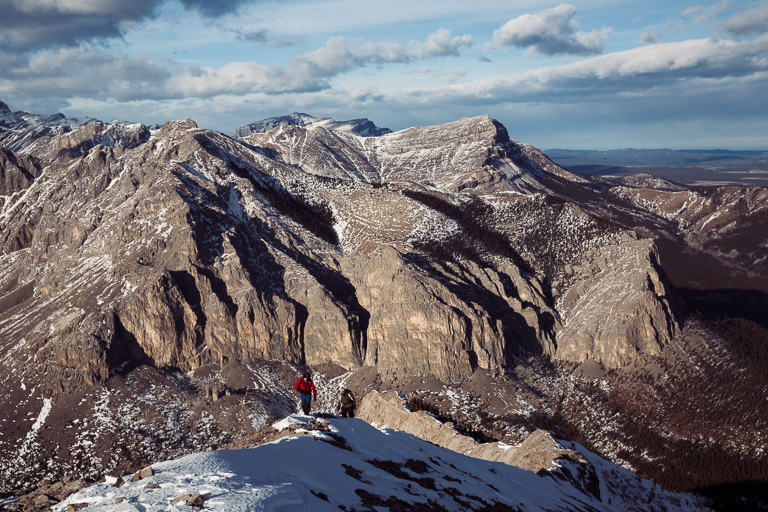
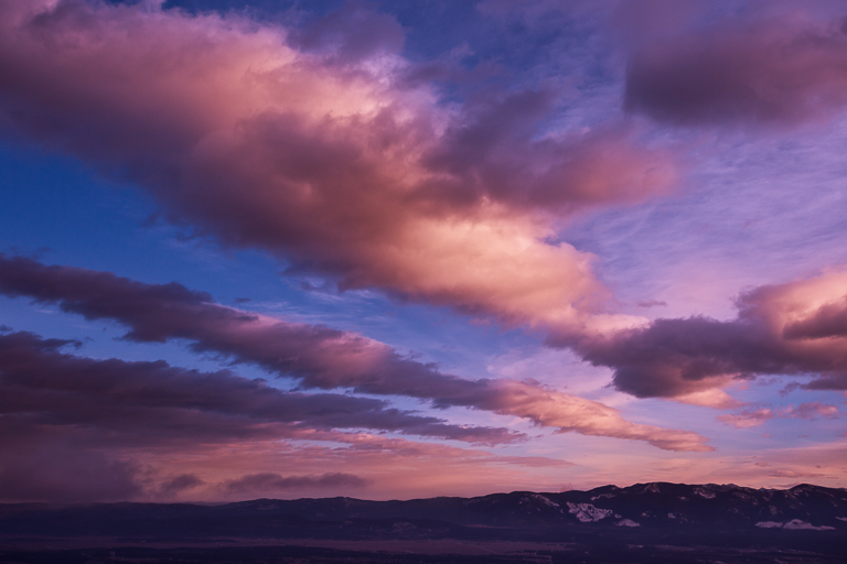
The preferred route for Yamnuska is a loop that has you come back around the front face from other side. The sun was now setting and most of the earlier fog had dissipated.
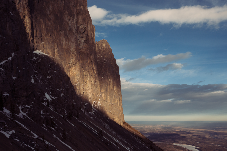
We had to hike a little ways off the trail, but we found one final geocache just as we were losing the last bit of light.
