Garibaldi Lake Trail and Panorama Ridge
Hike Details
Location: BC, Canada
Hike Quality (1-5): 4
Hike Difficulty (1-5): 3
Round Trip Distance: 18 km
Max Elevation: 1484 m
Elevation Gain: 900 m
Trailhead Directions
Turn right off Hwy 99 just after you cross the Rubble Creek Bridge, 37 km north of Squamish or 19 km south of Whistler onto a paved road that leads 2.5 km to the Garibaldi Lake parking lot.
Camera Details
Camera: Canon 5D Mk III
Lens 1: Canon EF 24-70mm f/2.8L II USM
Trip Details
Date: July 7, 2017
Start Time: 4:30pm
Total Time: 34 hours
Participants: Patrick Latter, Paige Sorger
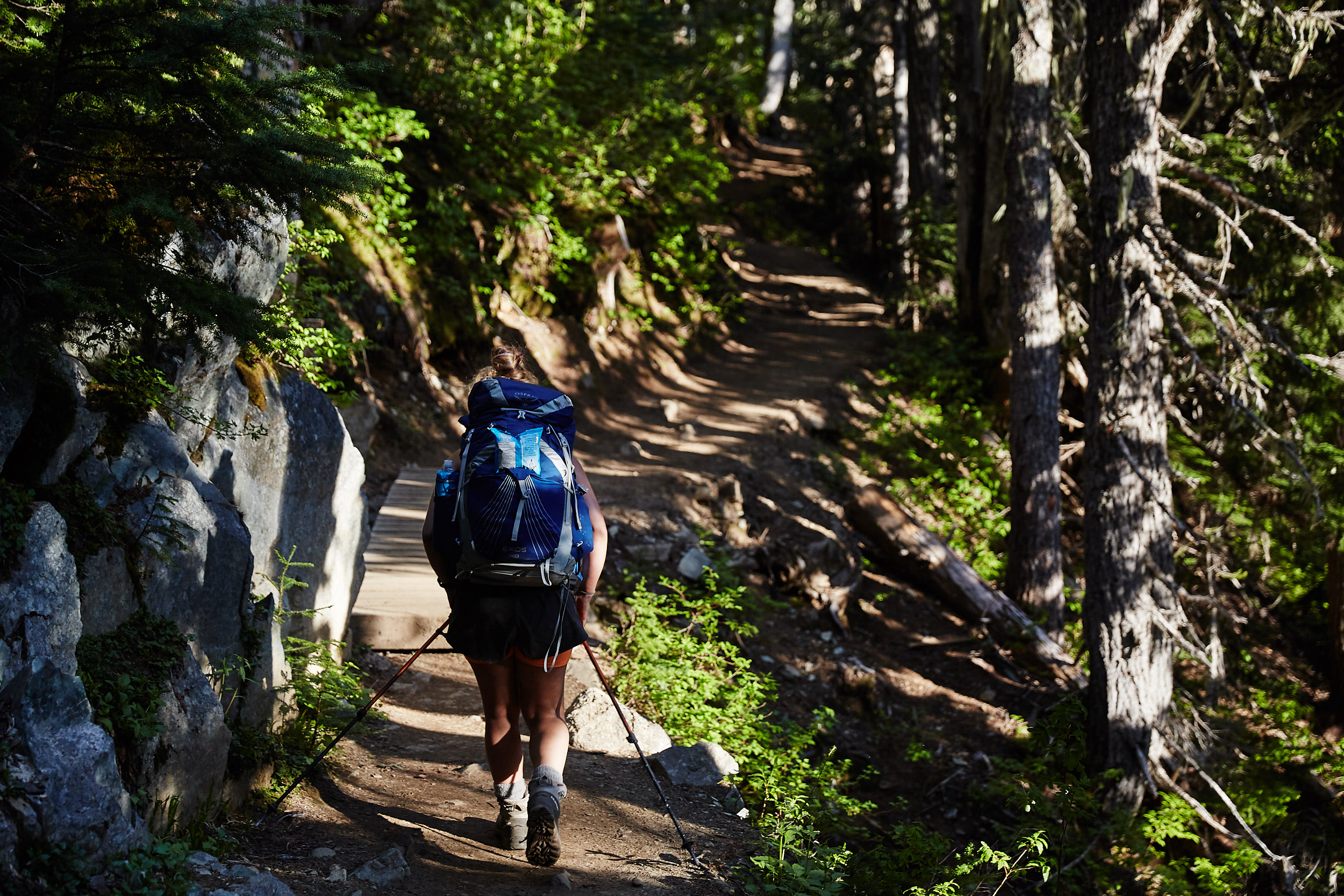
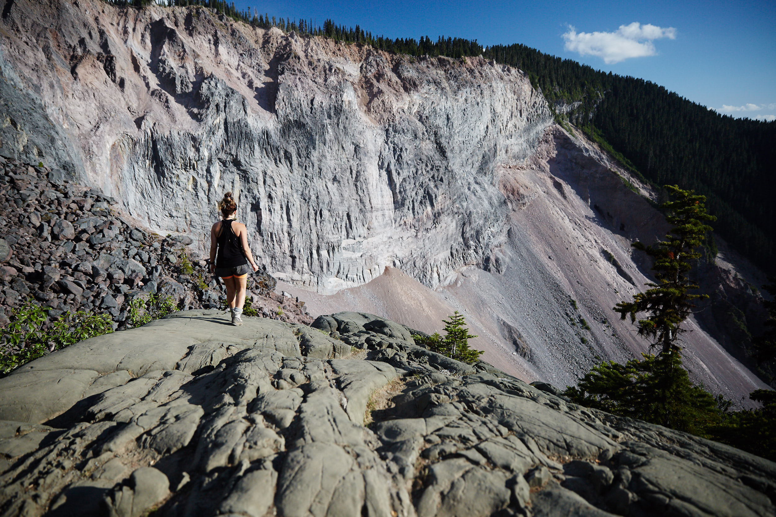
We stopped to have dinner at ‘The Barrier’ lookout.
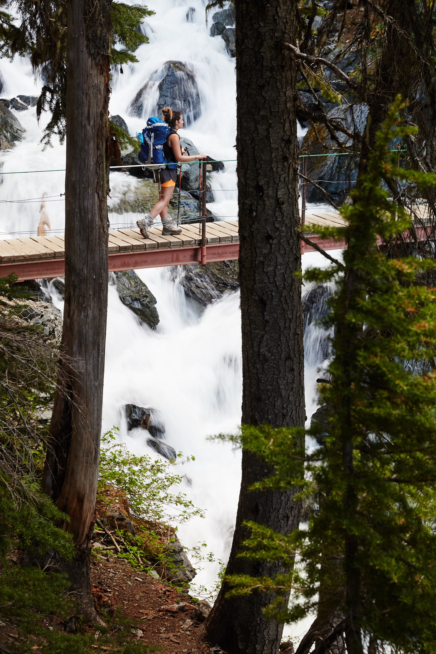
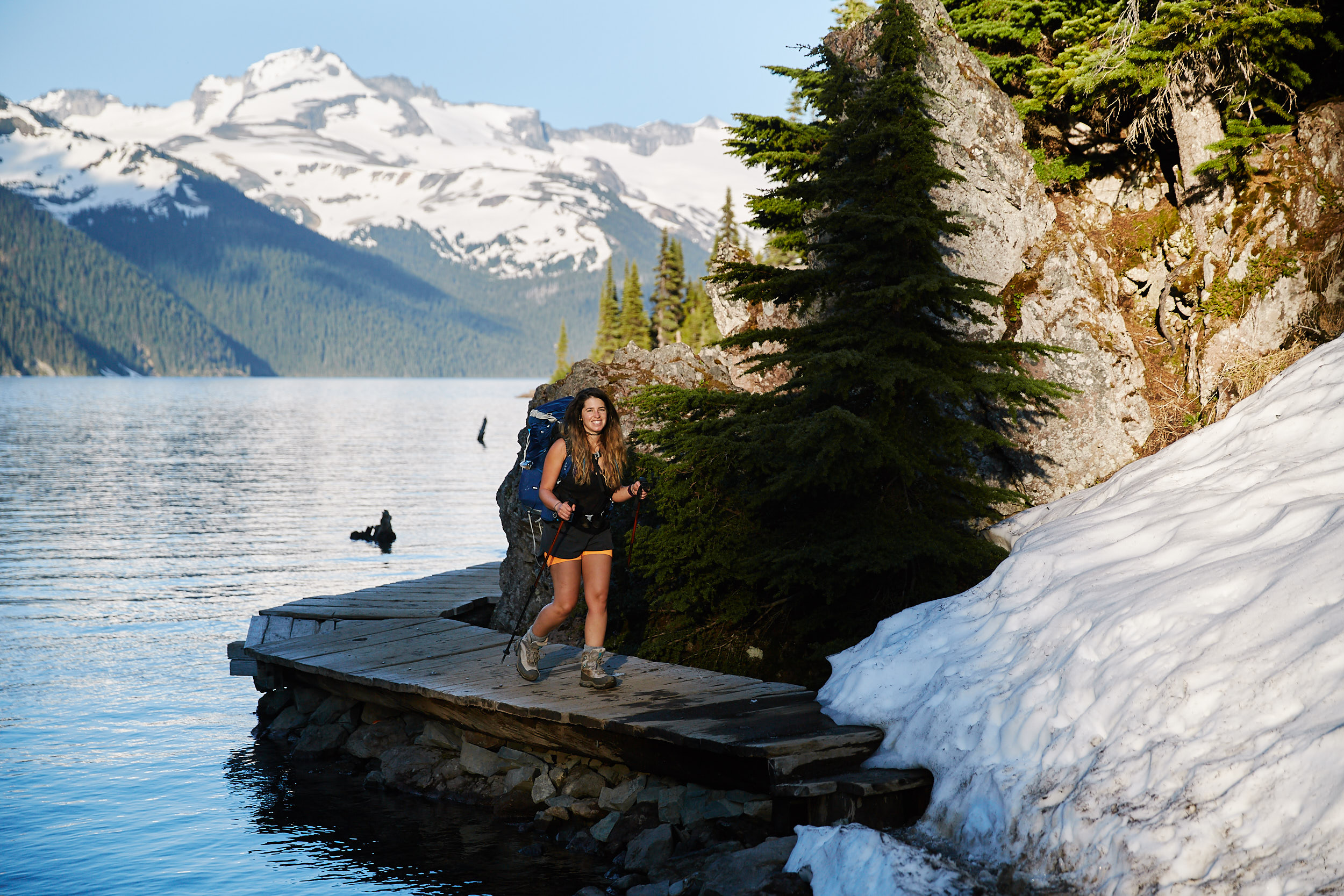
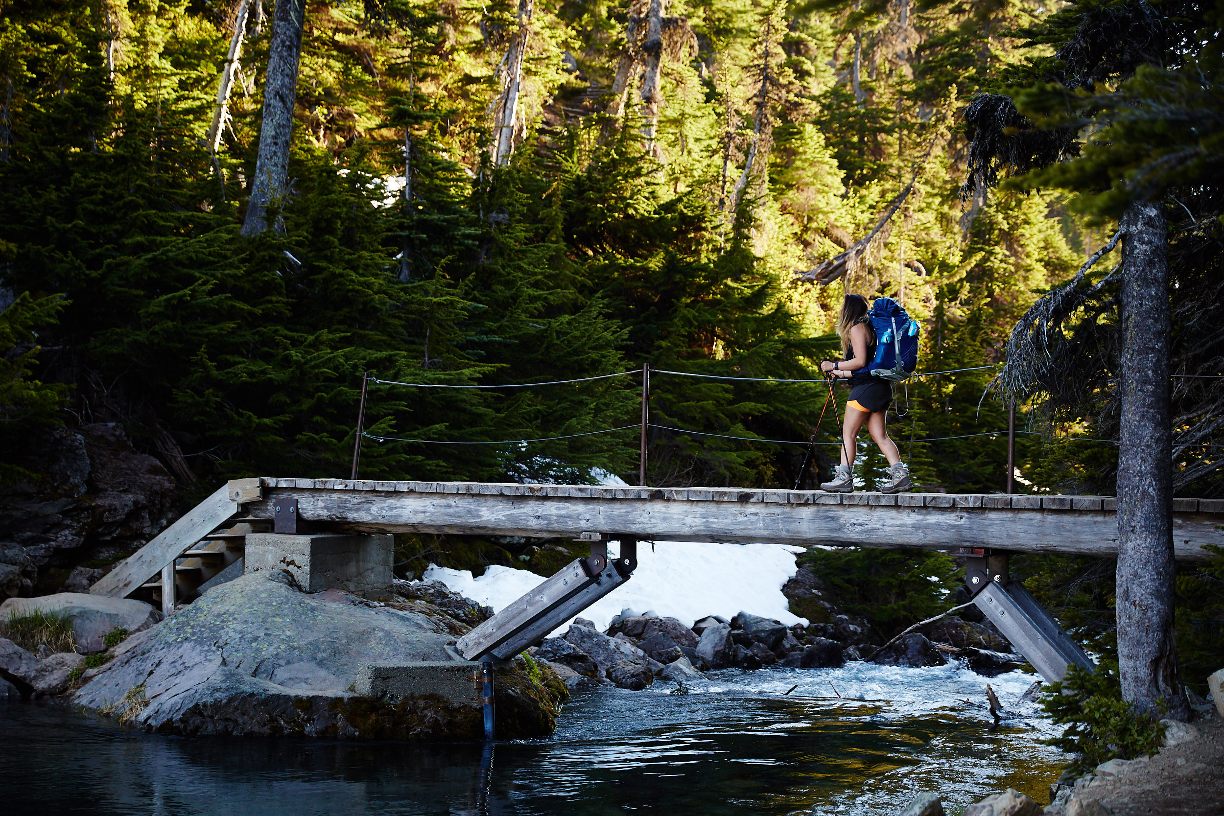
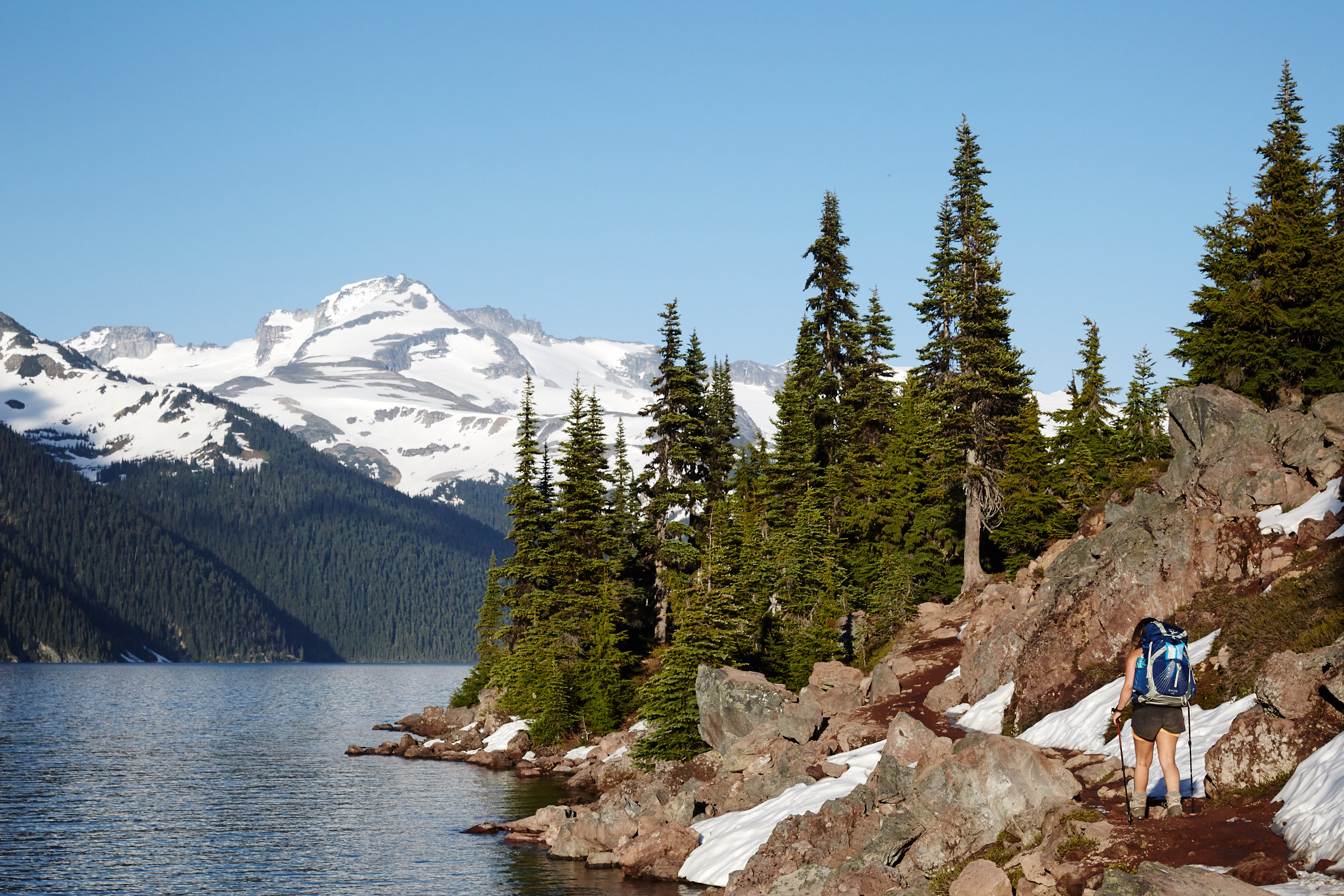

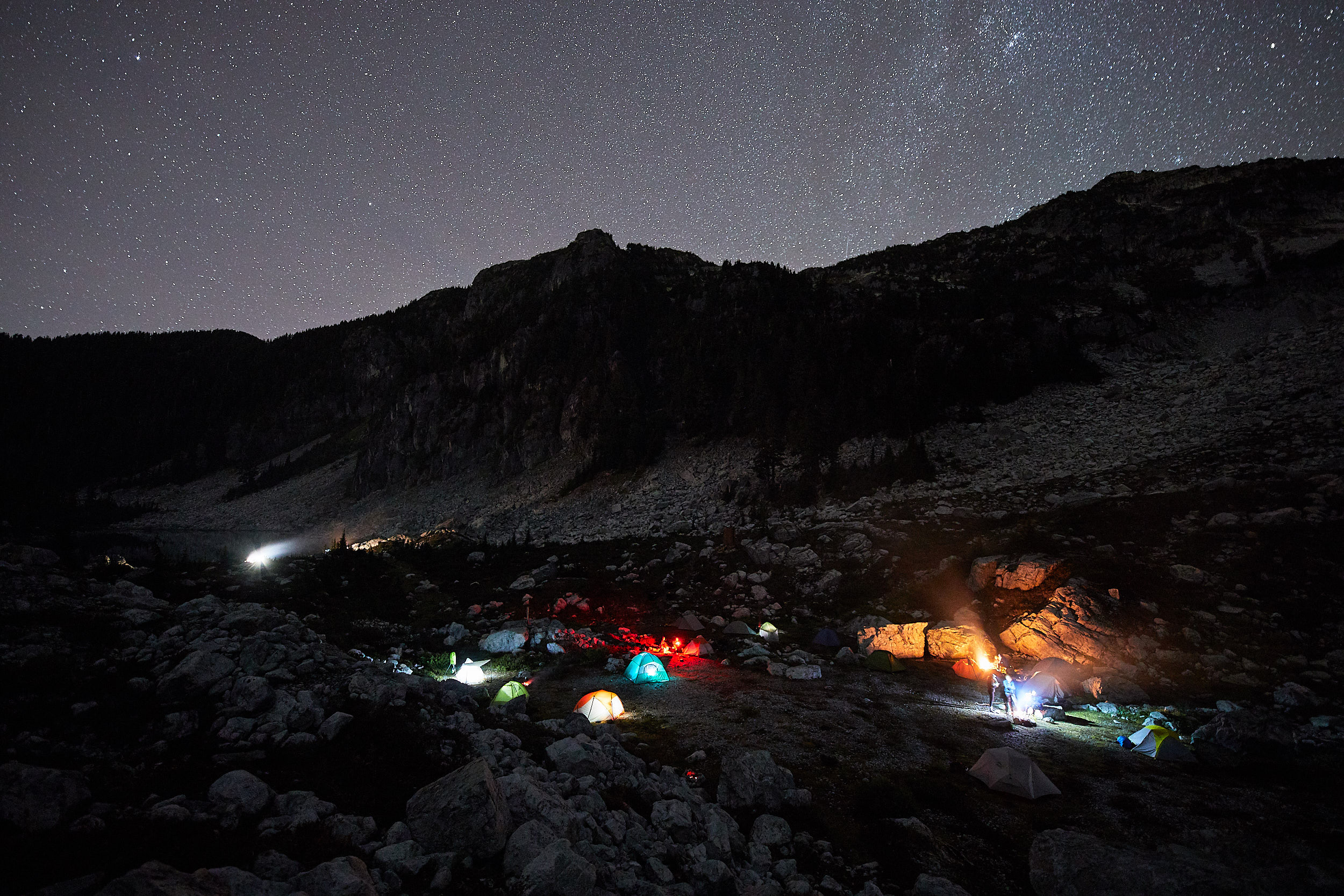
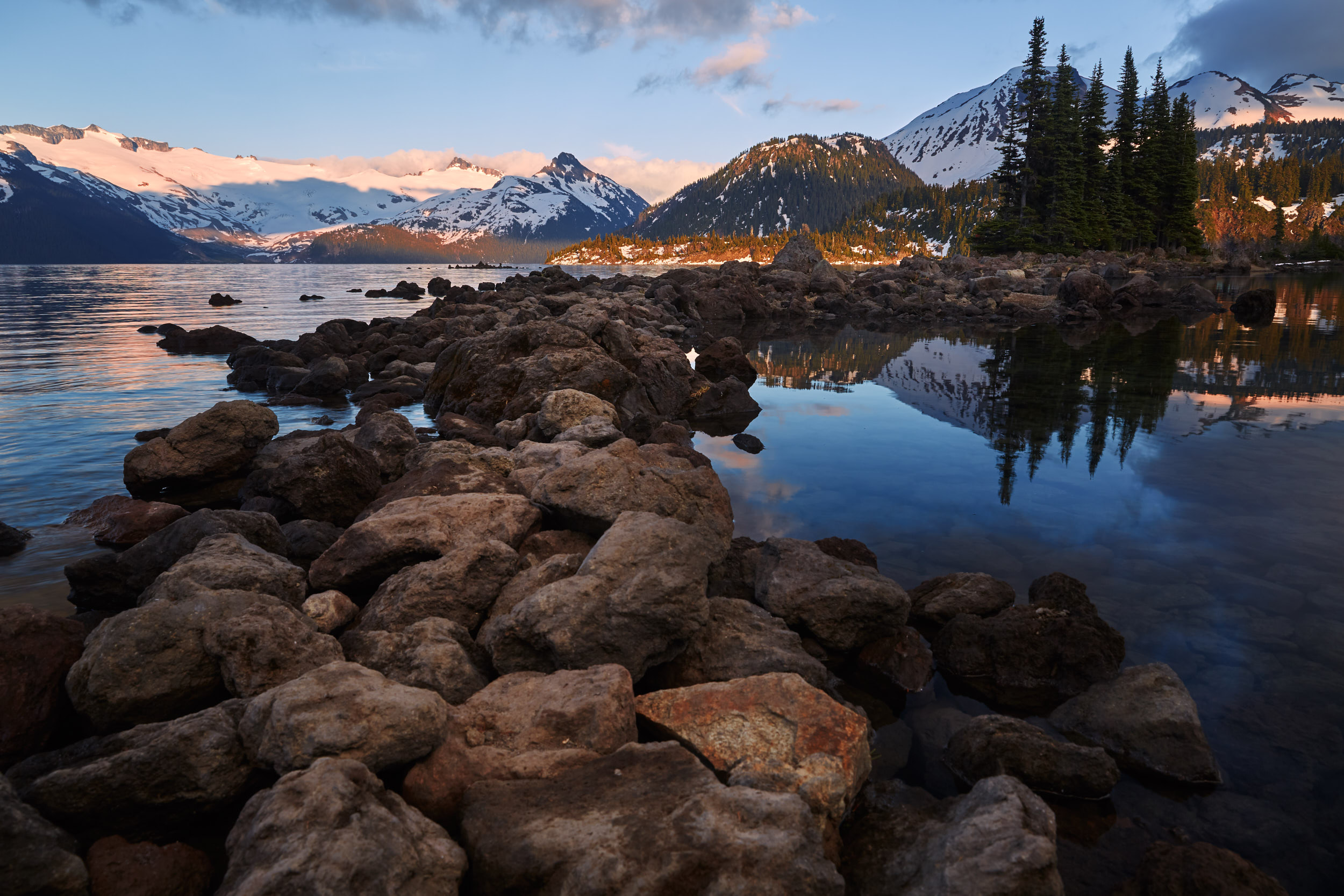
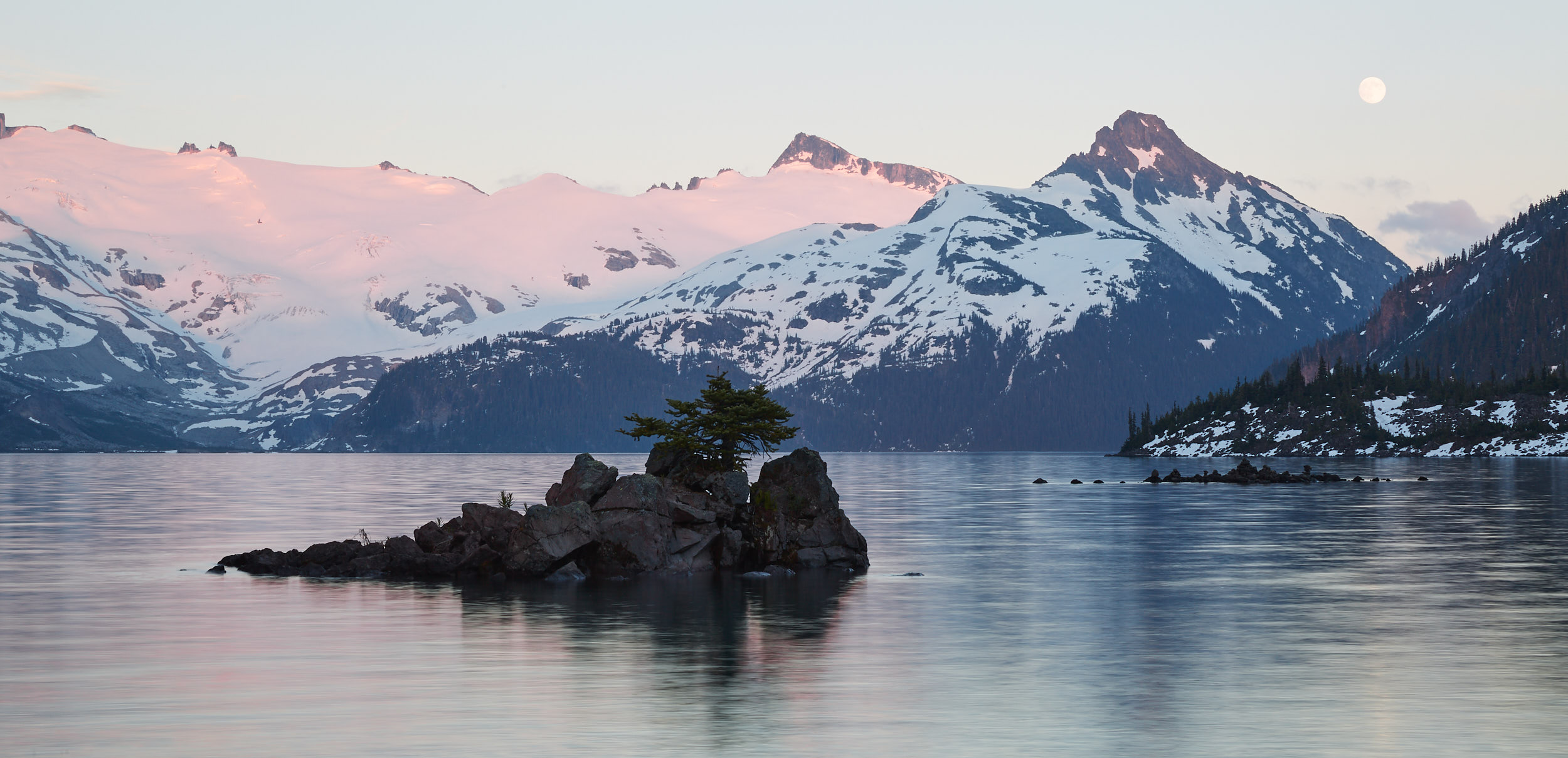
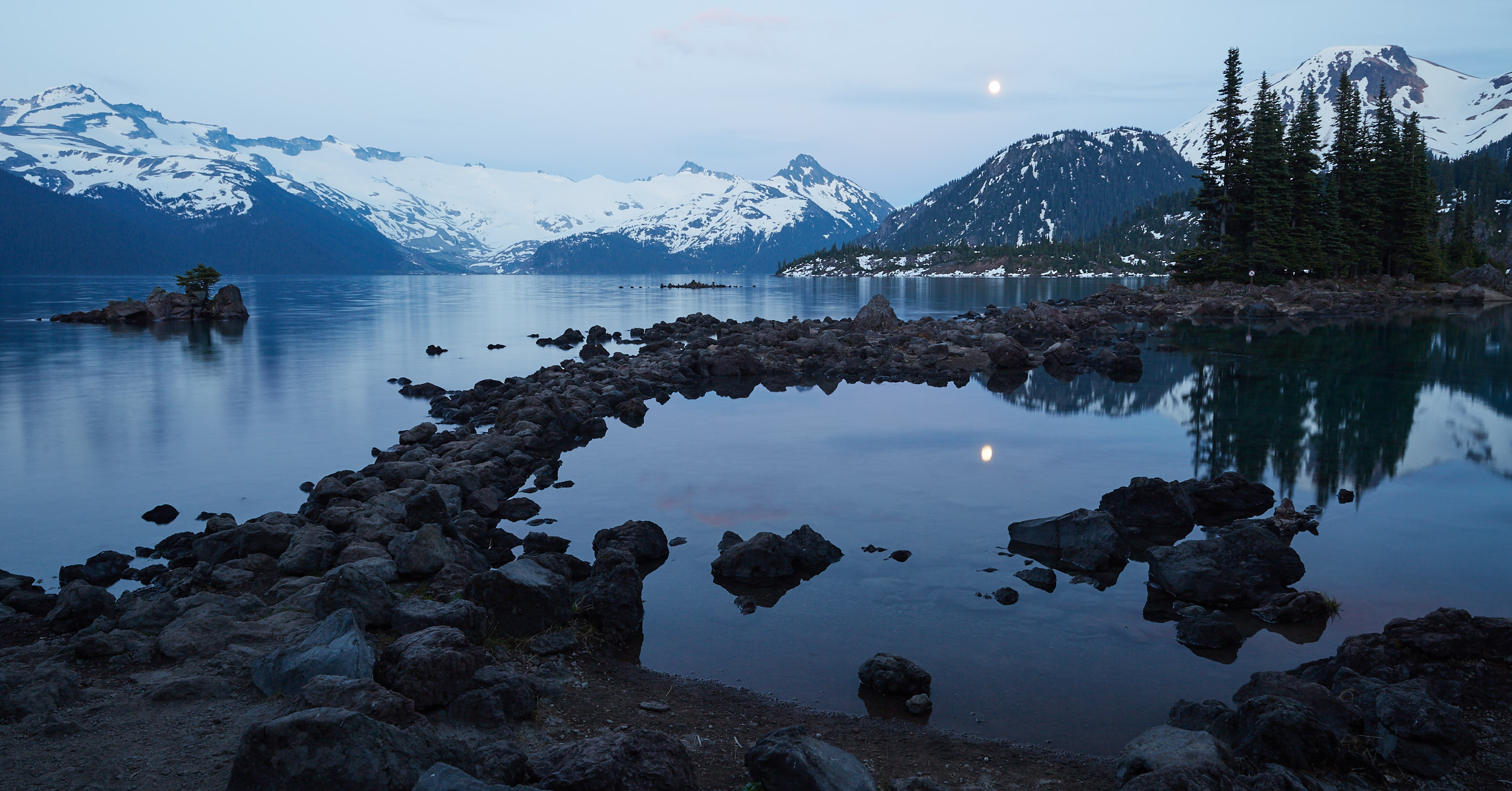
We arrived at the campground just before sunset. There are roughly 50 sites but most were still covered in a few feet of snow.
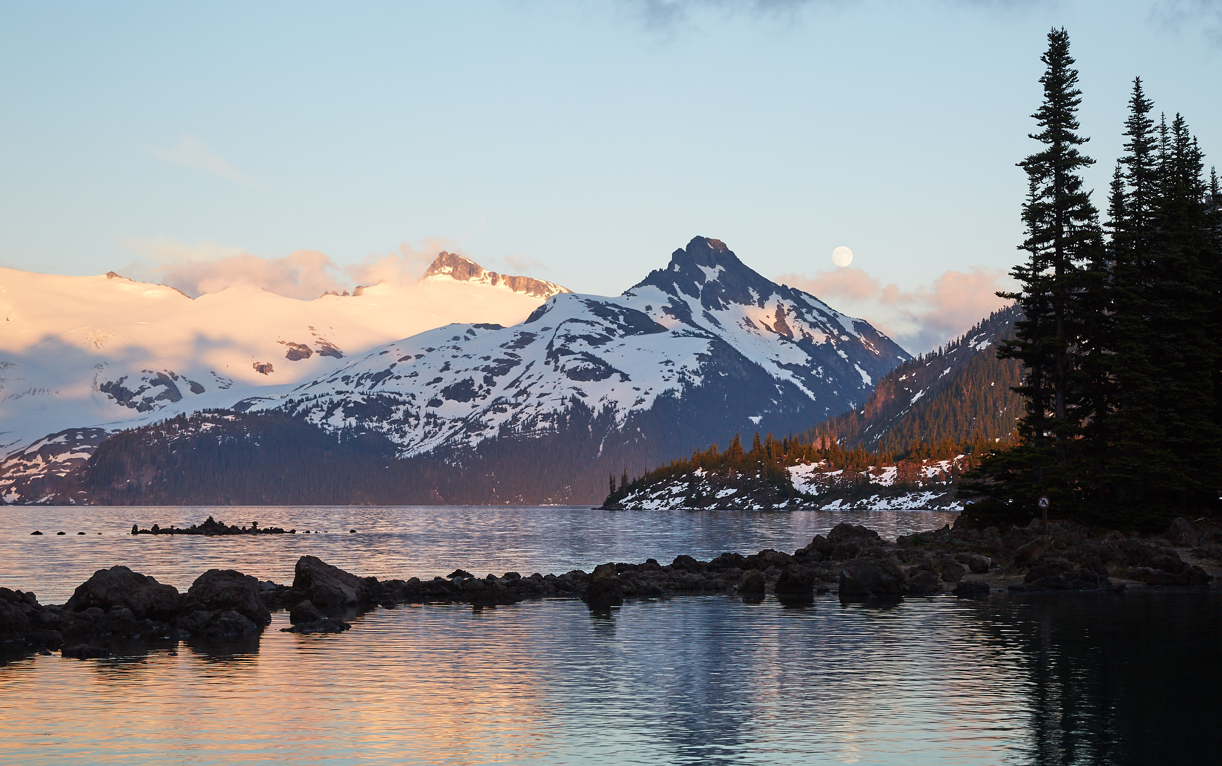
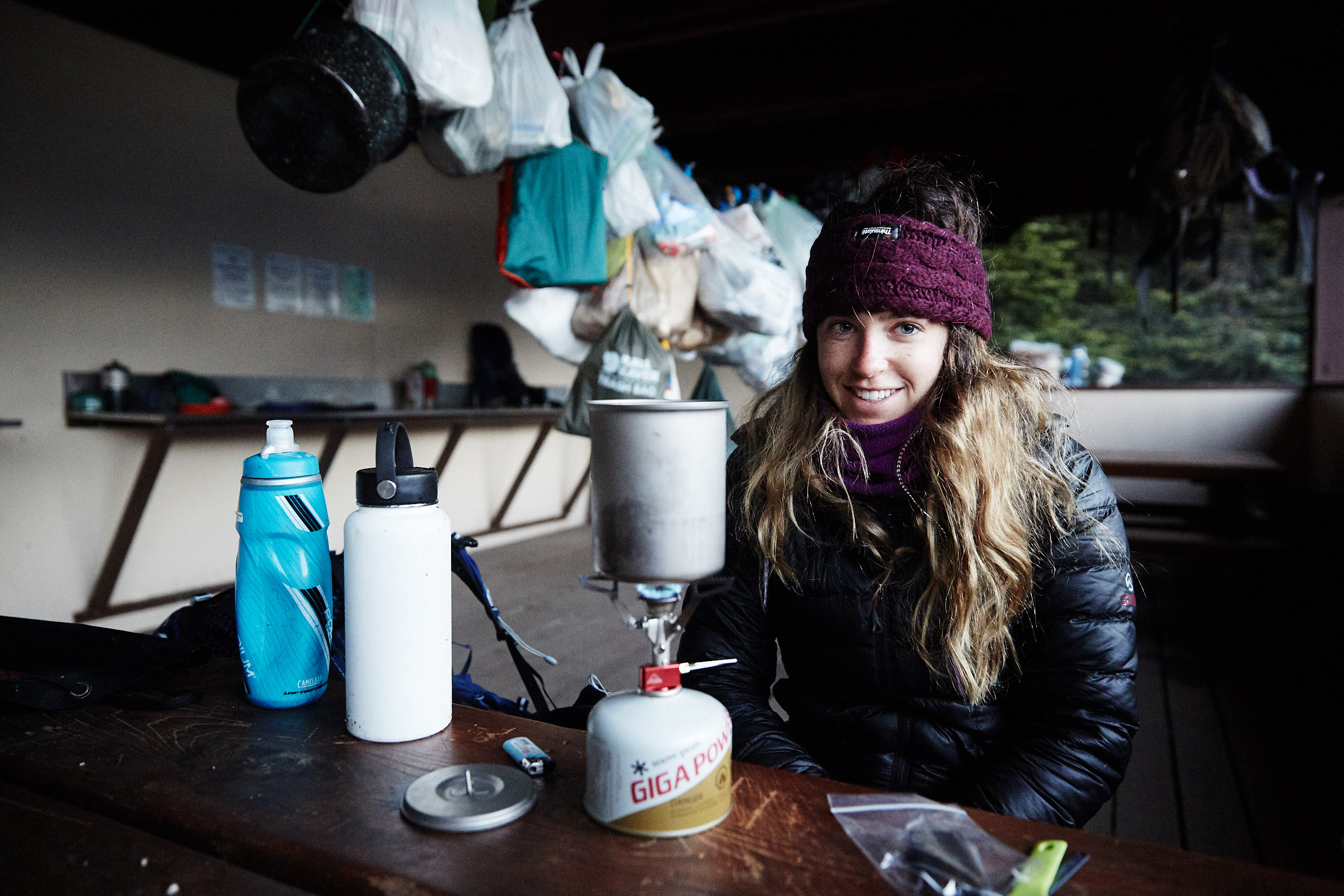
The next morning we woke up early to have breakfast in the cook shelter and set out on the trail to Panorama Ridge by 7:00am

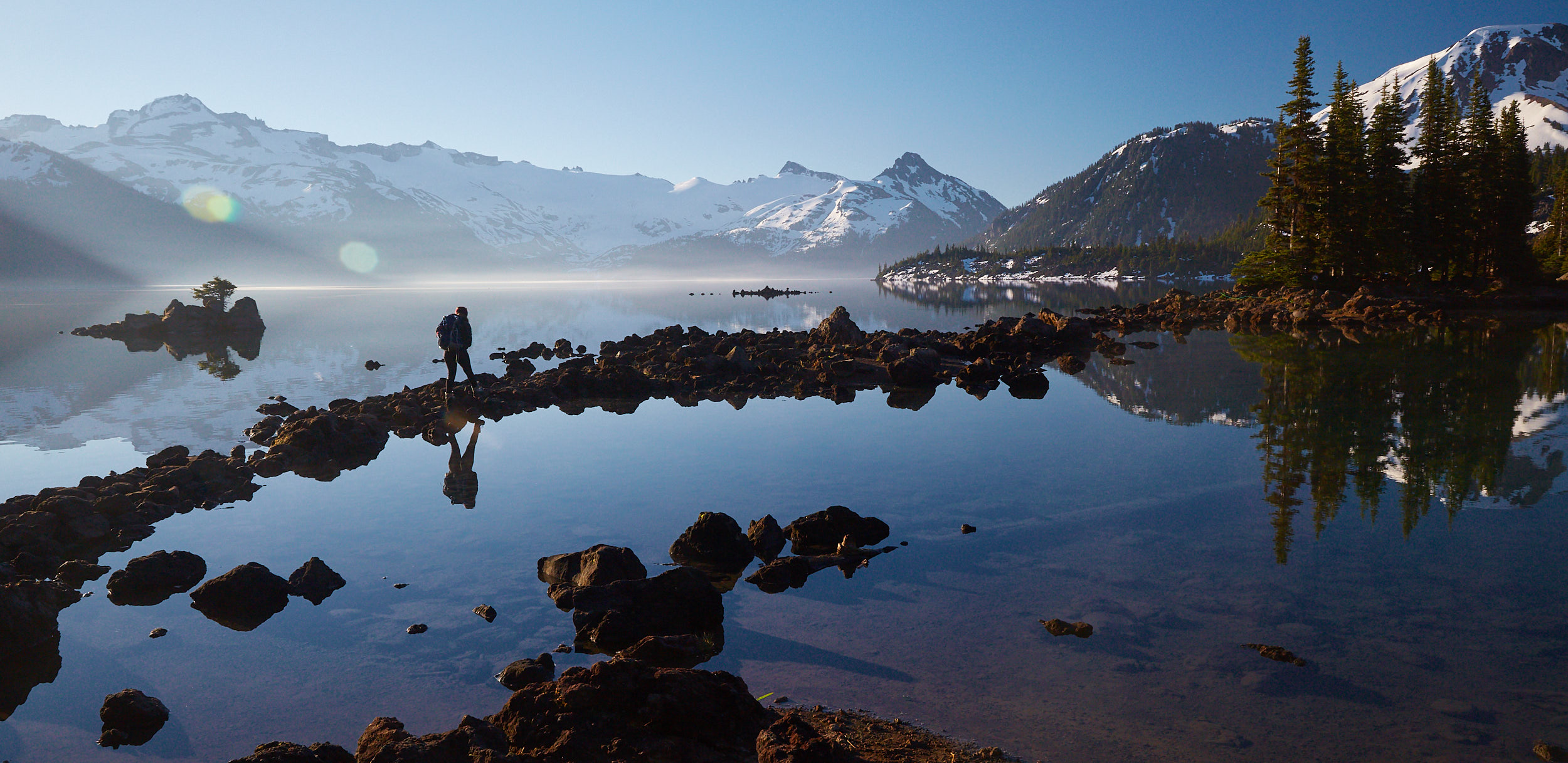
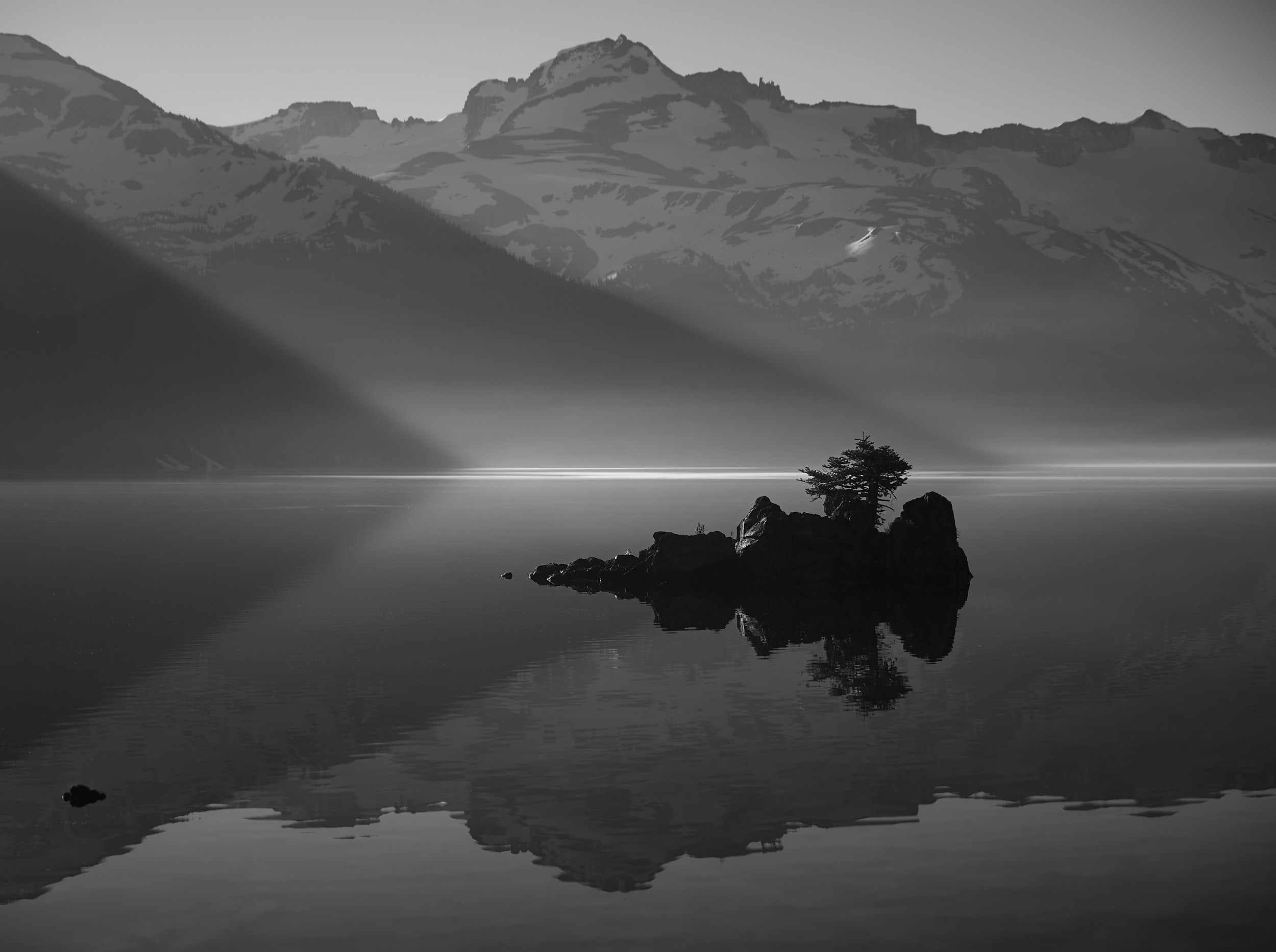
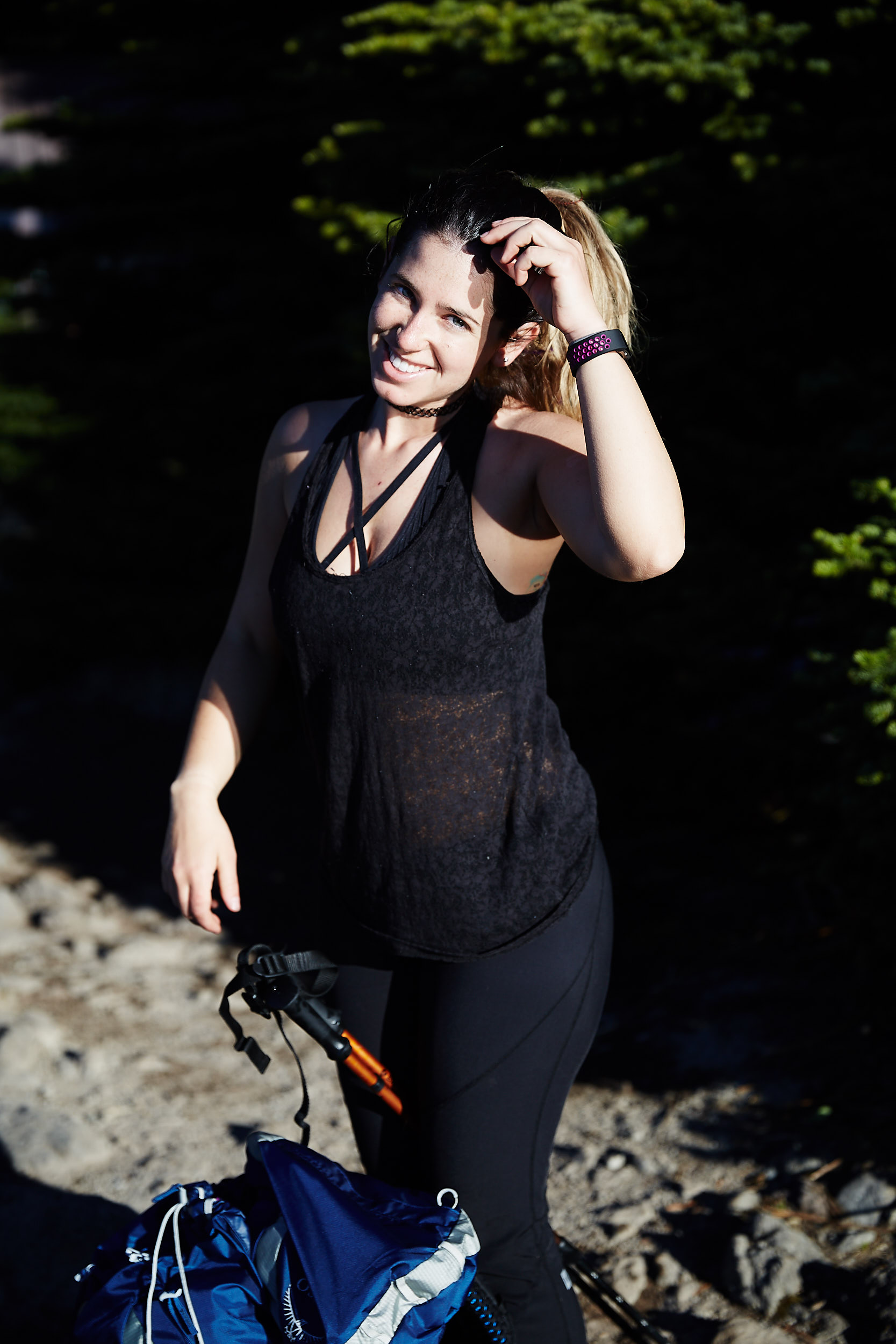
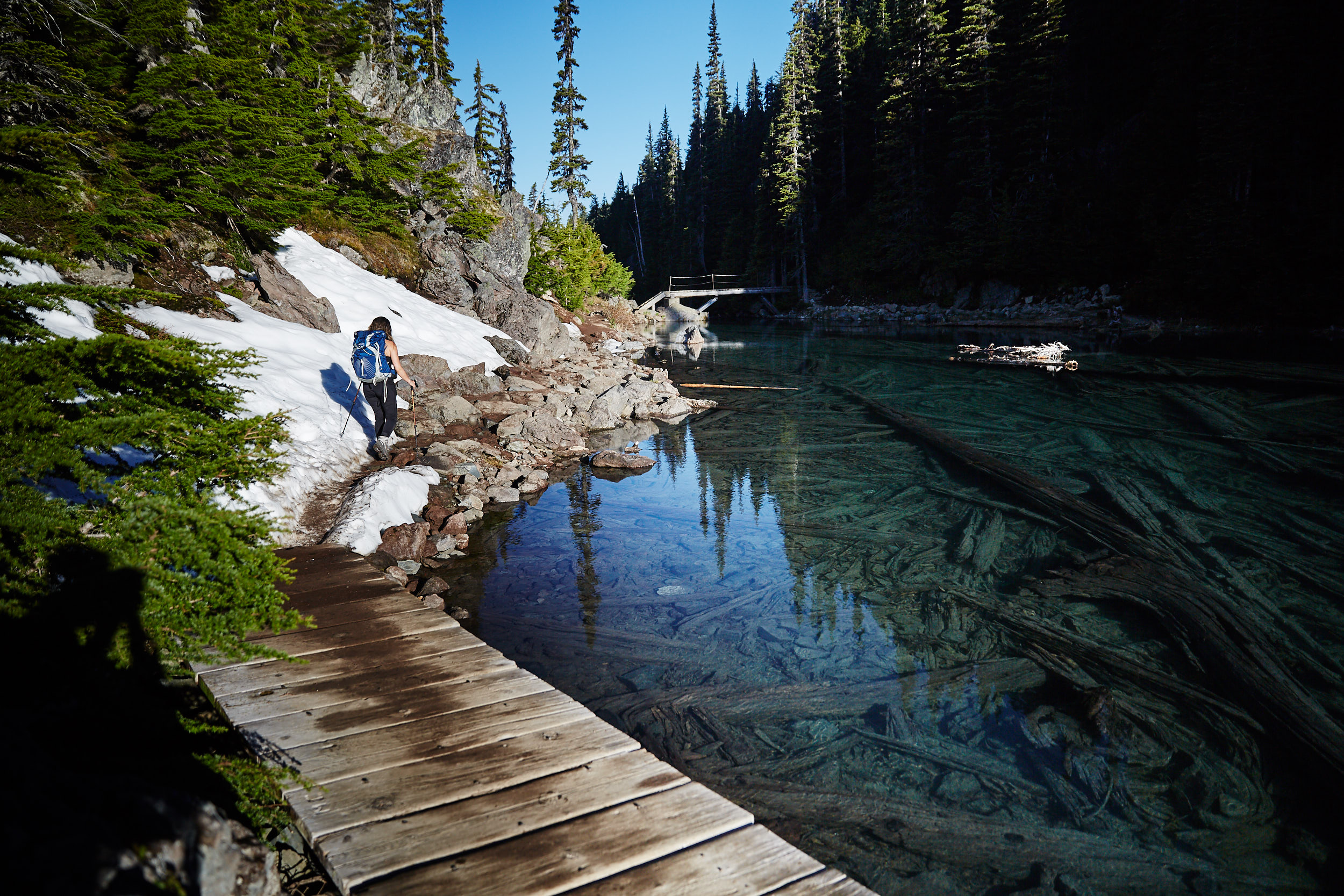
Panorama Ridge is about 7km from the campground.
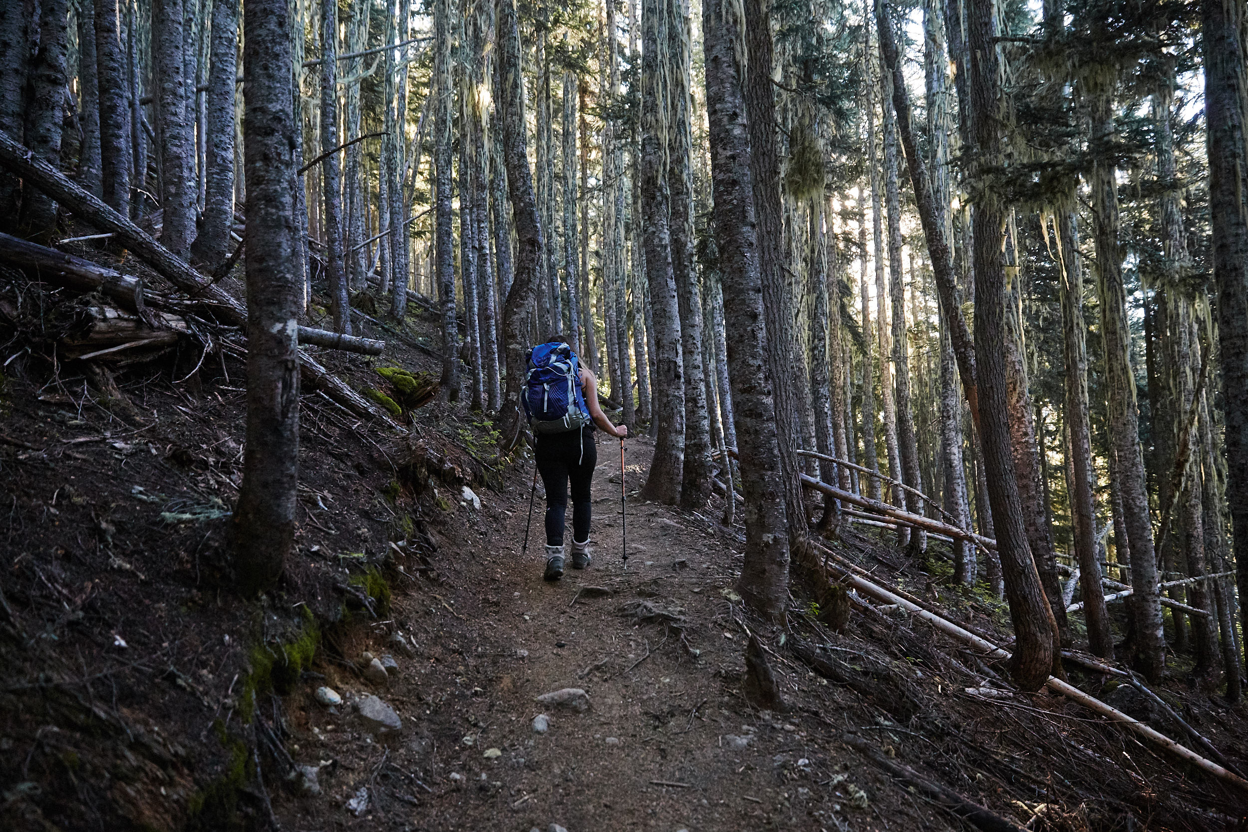
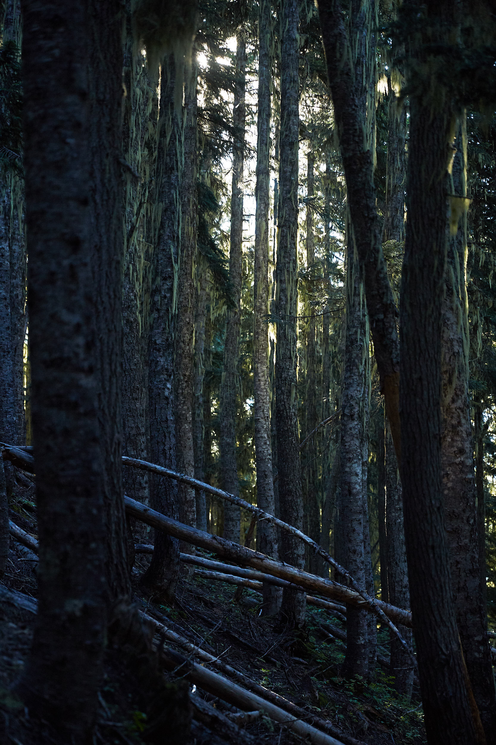
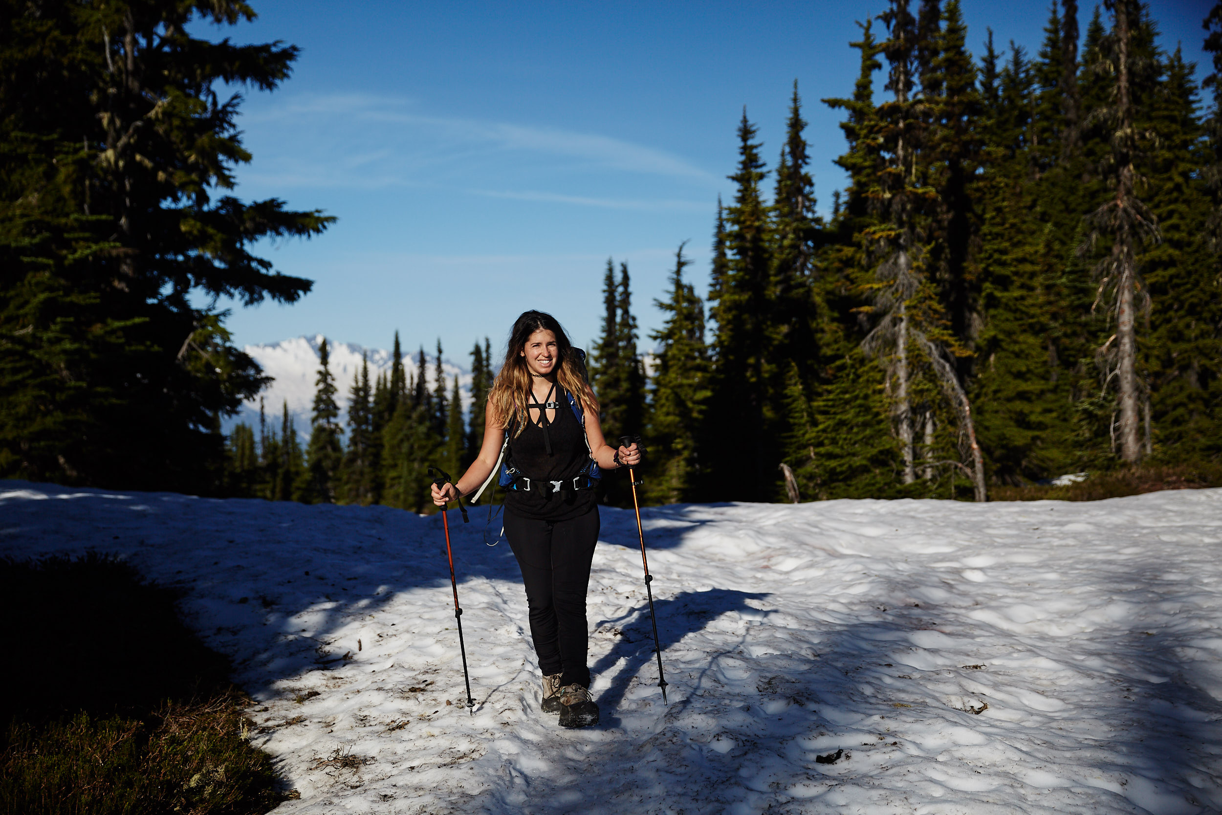
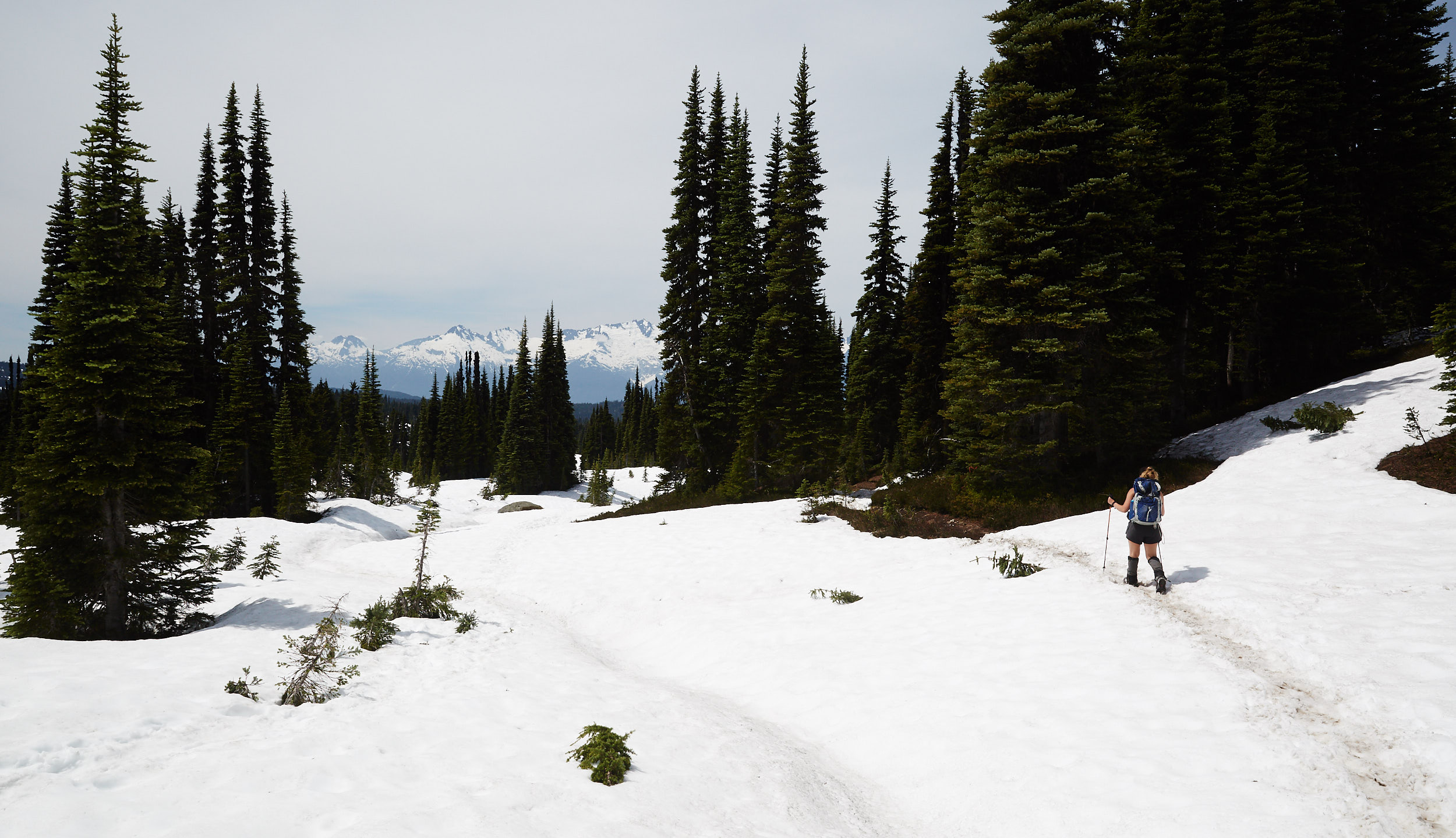
The trail was snow covered for nearly the entire way. No snowshoes or micro spikes were required as it was fairly hard packed and little soft on the top.
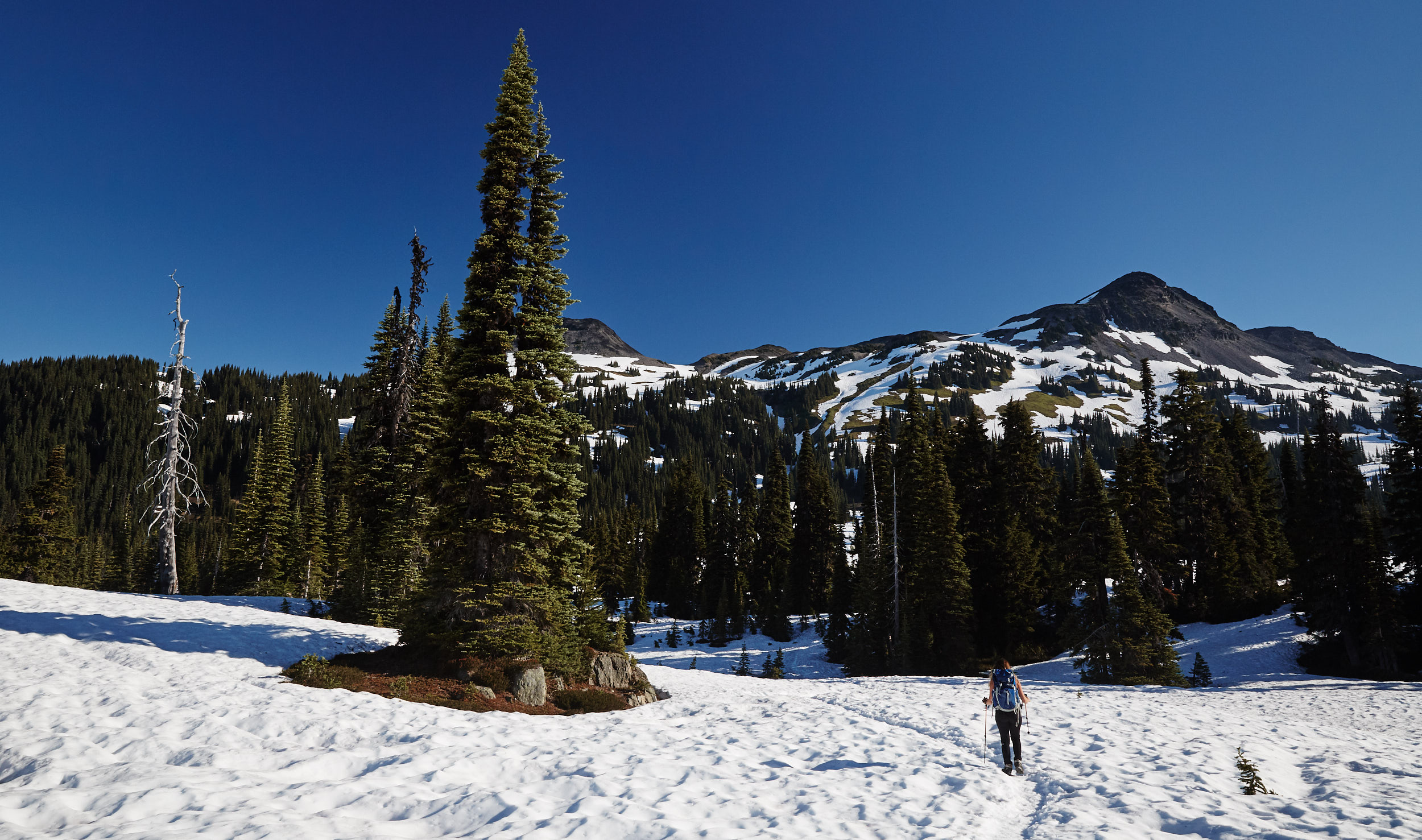
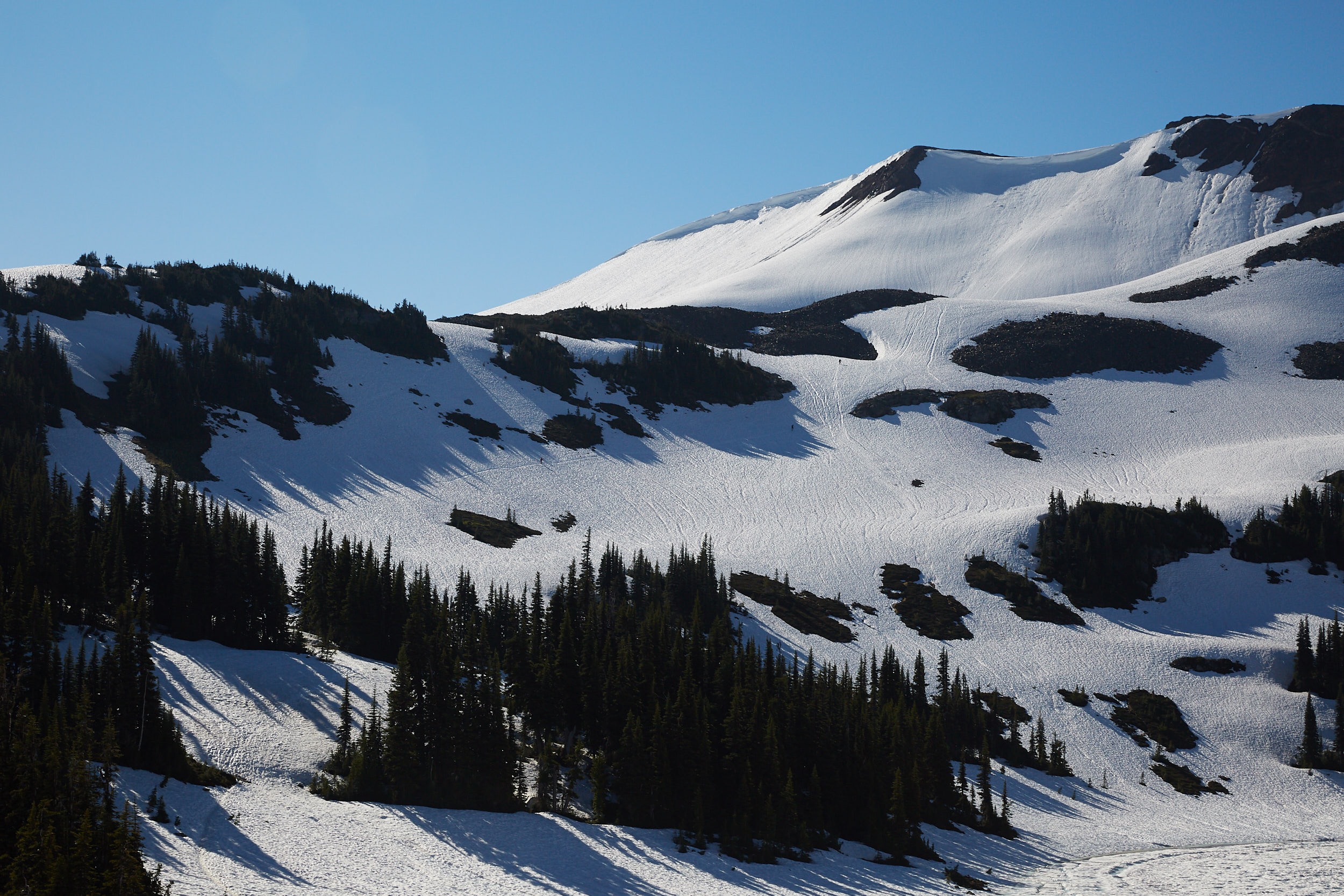
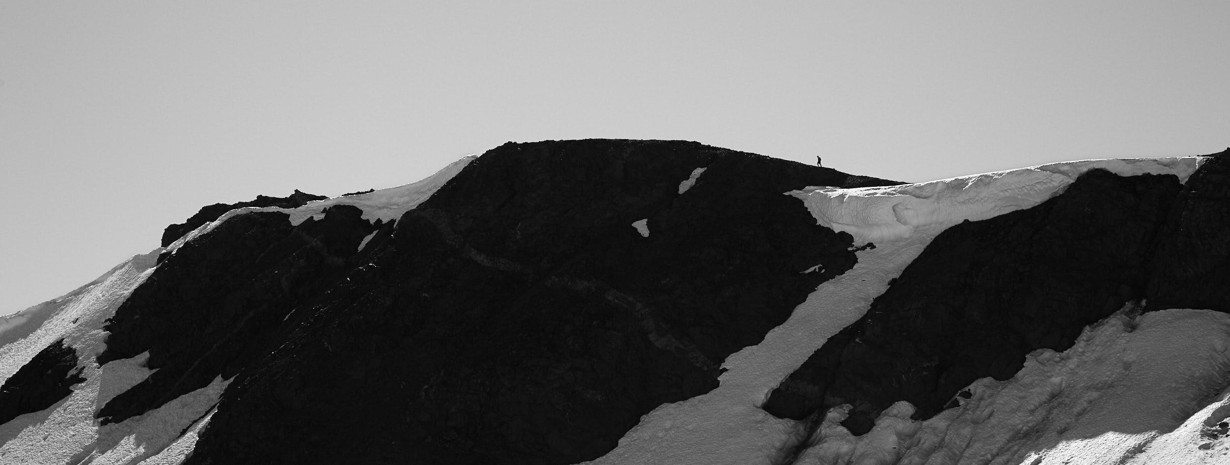
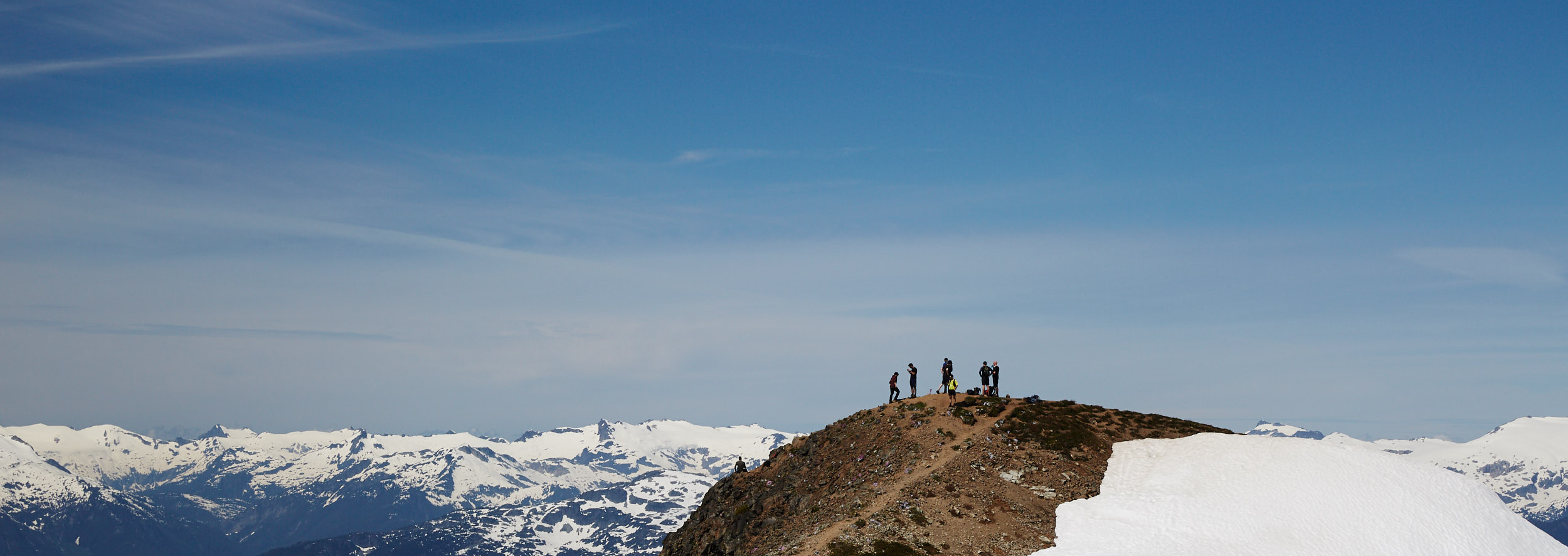
You can see 3 small dots in distance as they make their way to the summit.
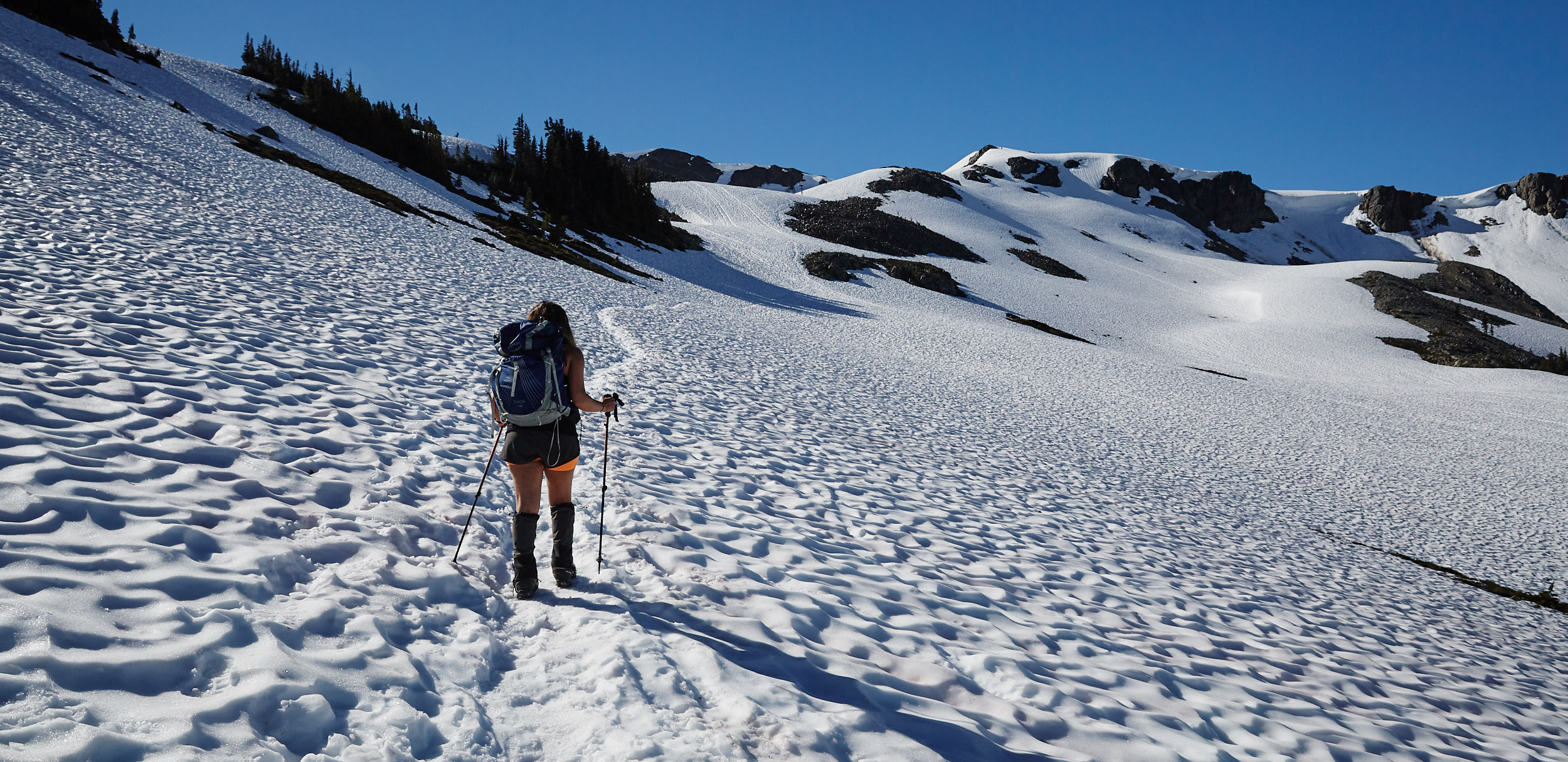
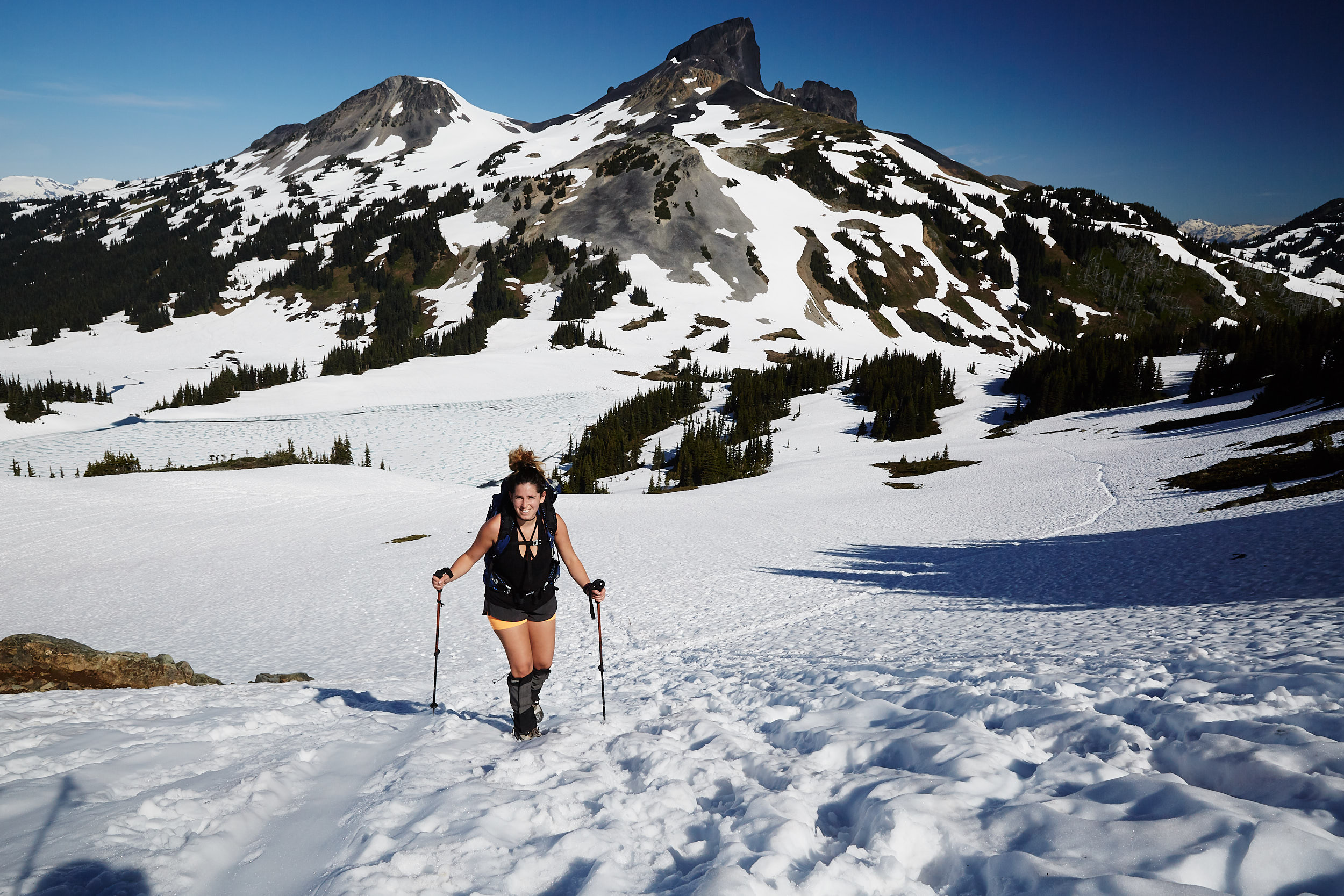
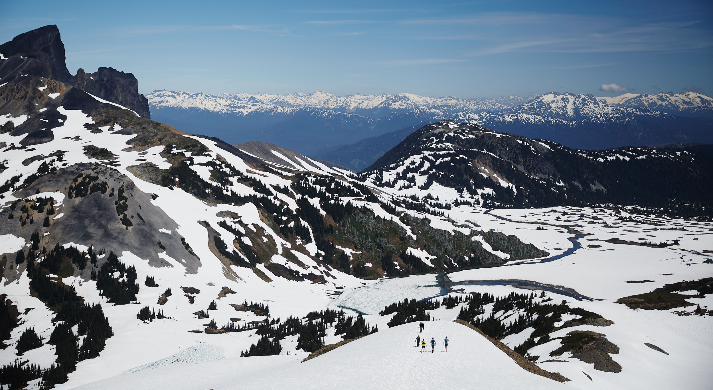
As we made our way up, we had great views of Black Tusk behind us.
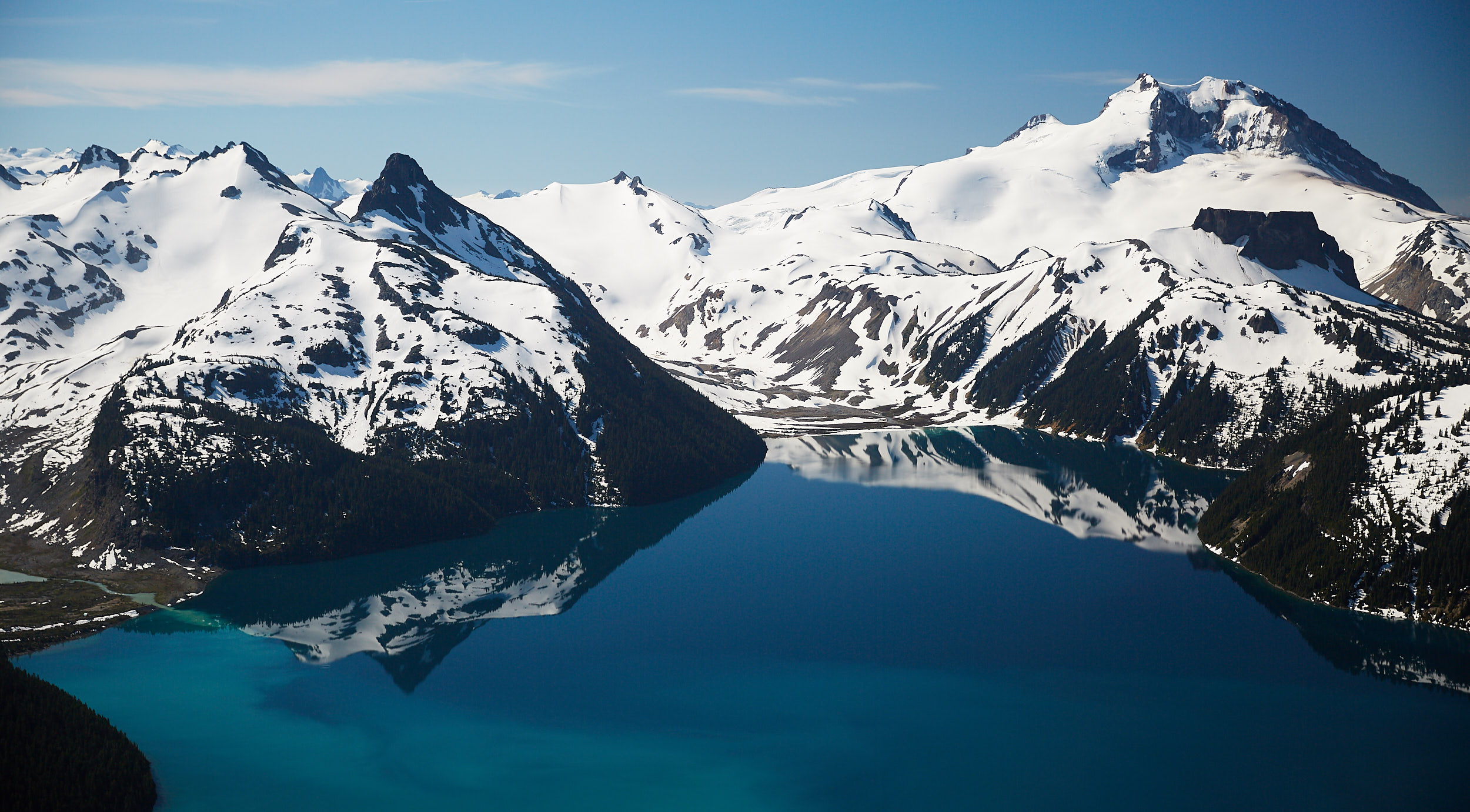
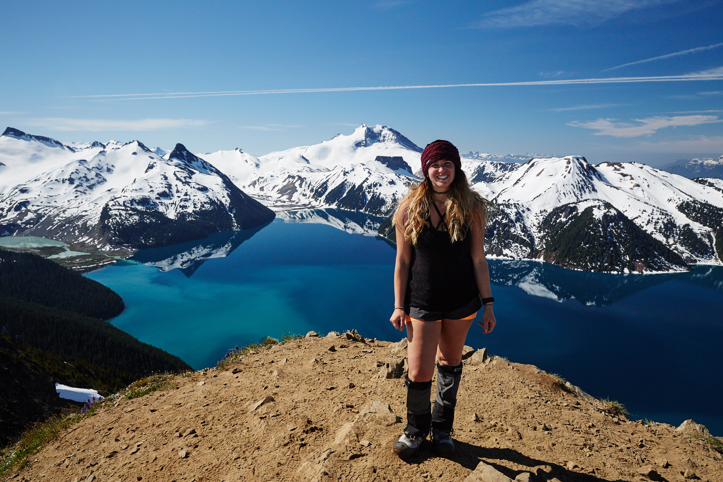
The entire lake can be seen from the summit. We were lucky to have an incredibly calm morning.
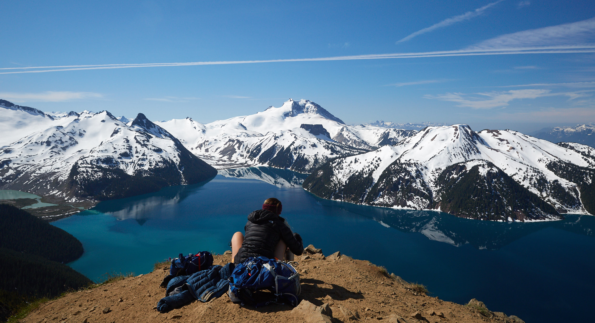
We cooked lunch at the summit before heading down.
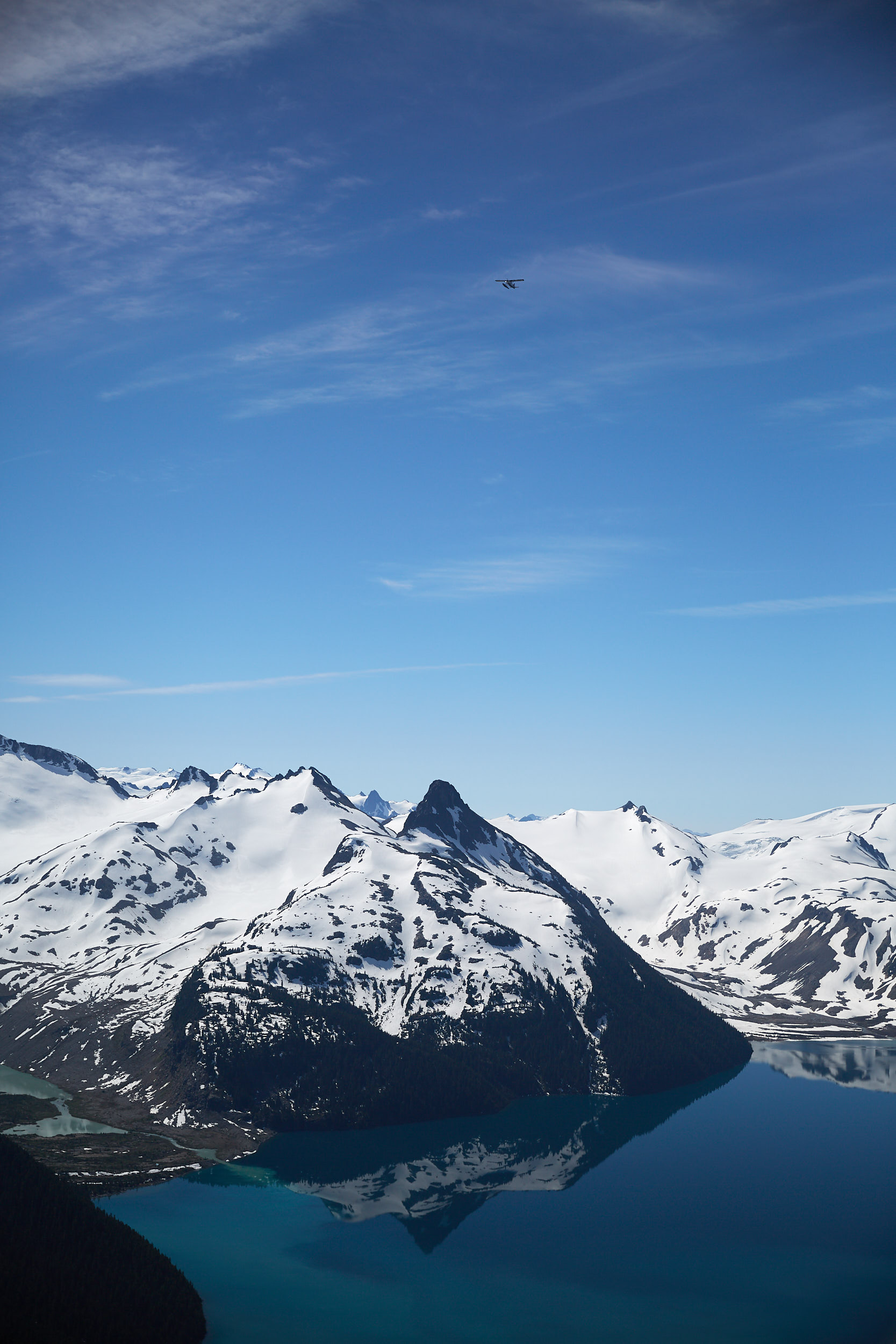
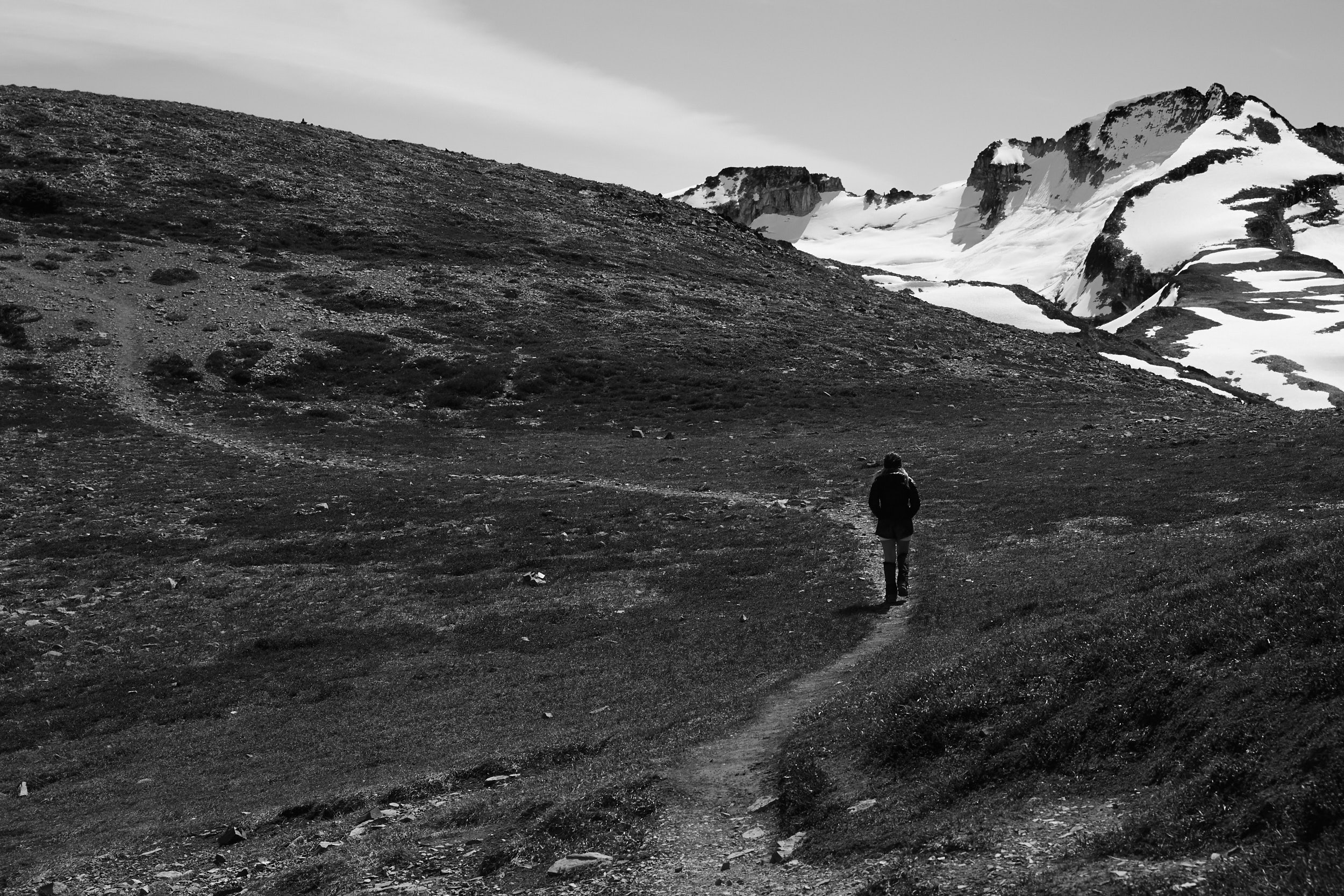
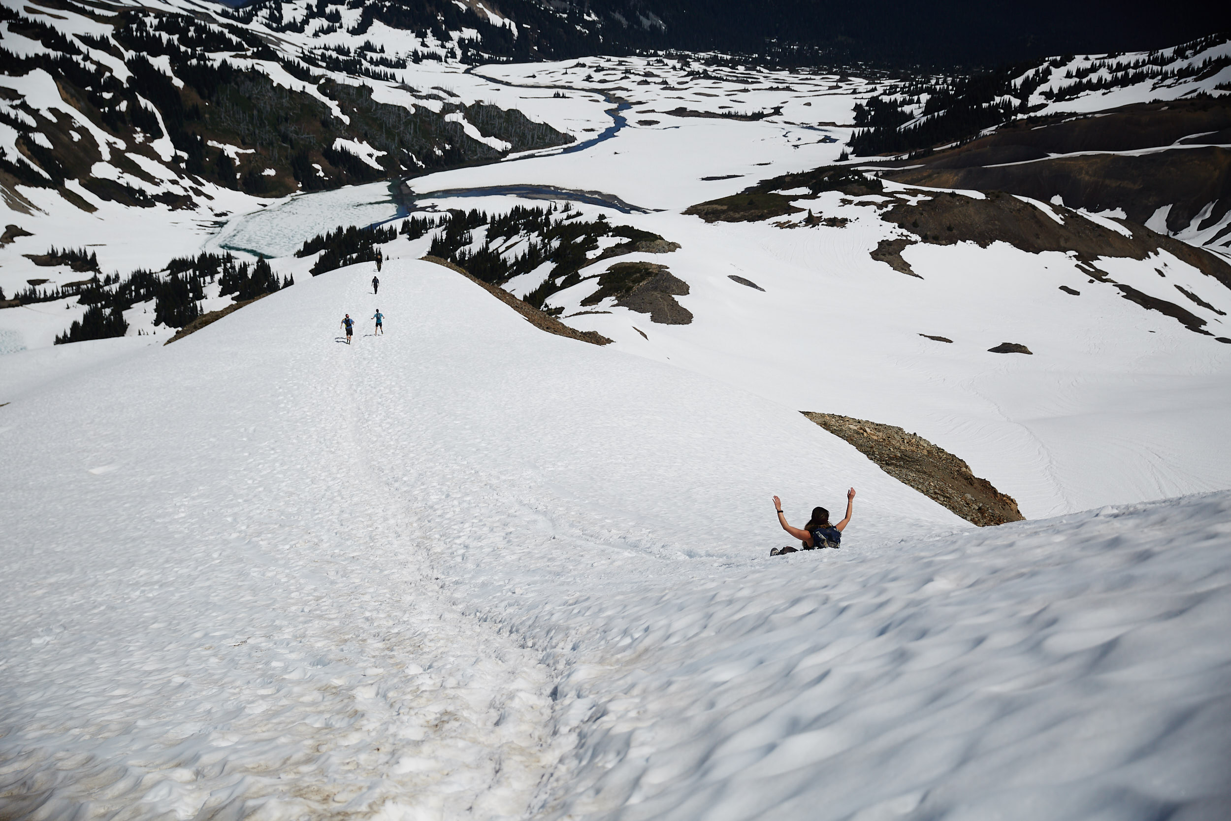
The snow made for a super fast and fun descent!
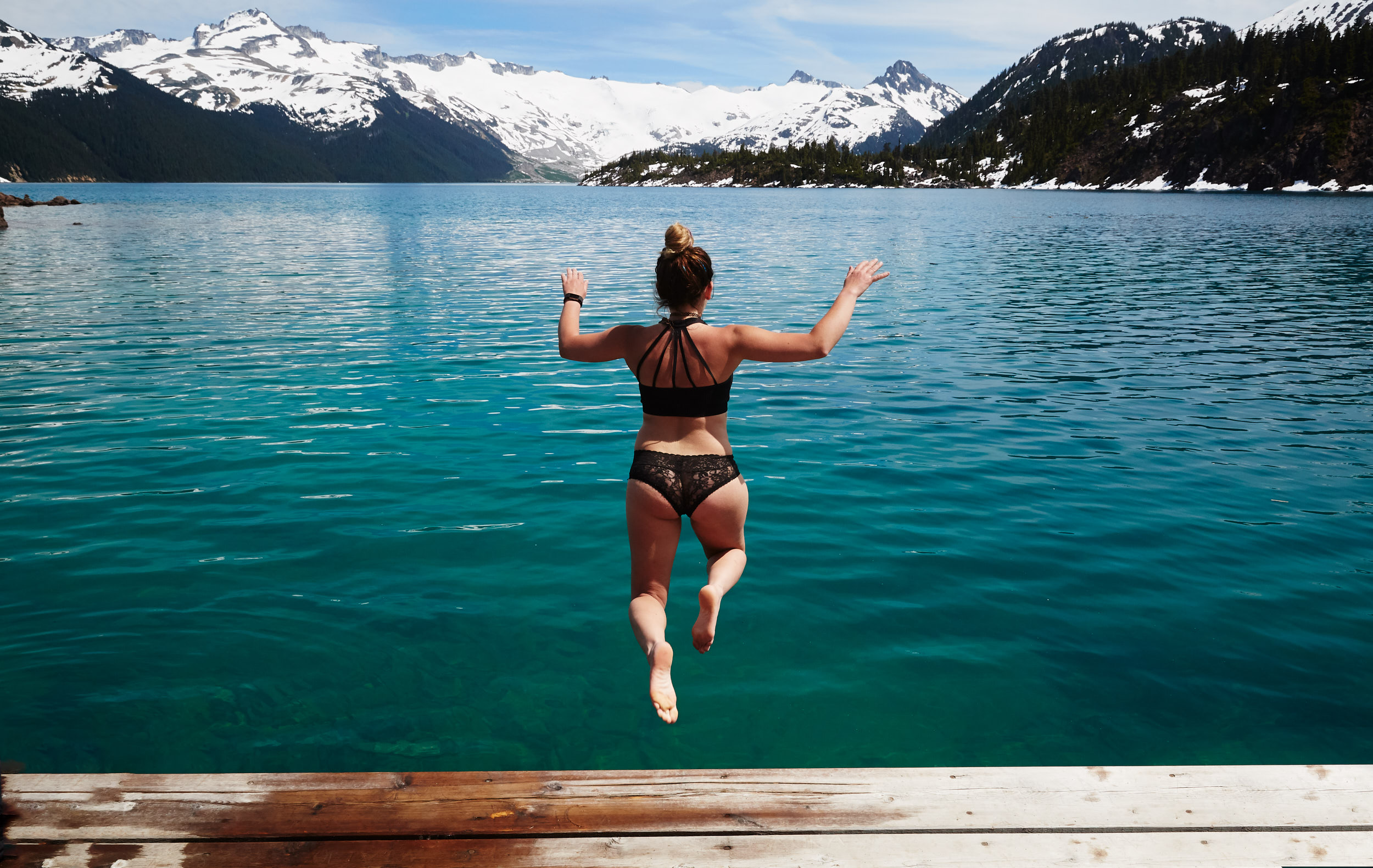
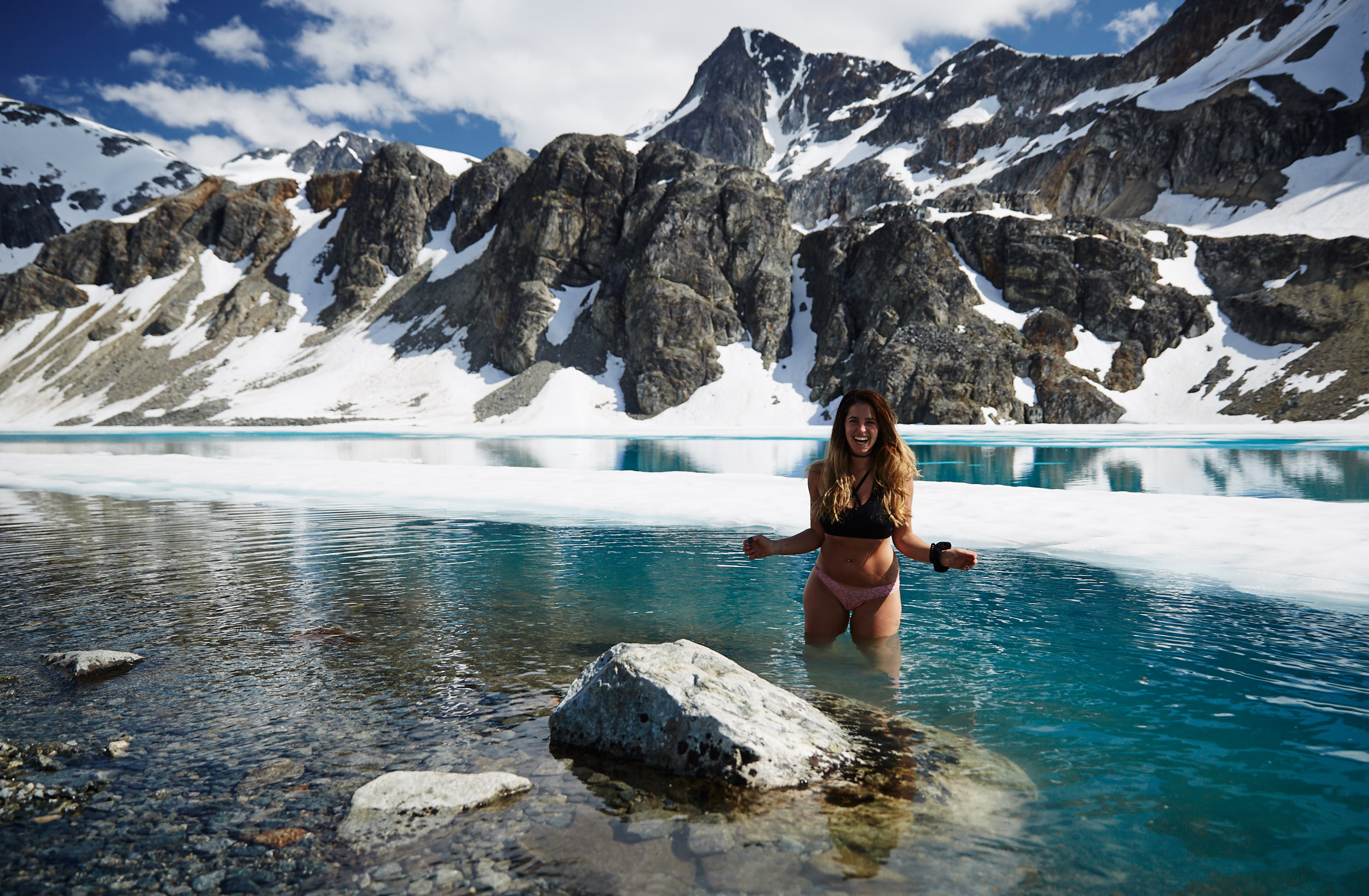
Once back at the lake we went for a refreshing 4 second swim in the ice cold lake.
