Hike Details
Location: Whistler, BC, Canada
Hike Quality (1-5): 5
Hike Difficulty (1-5): 4
Round Trip Distance: 14 km
Max Elevation: 1858 m
Elevation Gain: 1220 m
Trailhead Directions
Turn right off Hwy 99, 13 km north of Whistler. You must cross the BC Rail train track to access the road. Use caution as this is an uncontrolled railway crossing. The parking lot is located 2 km from Hwy 99 along a Forest Service road.
Hike Directions
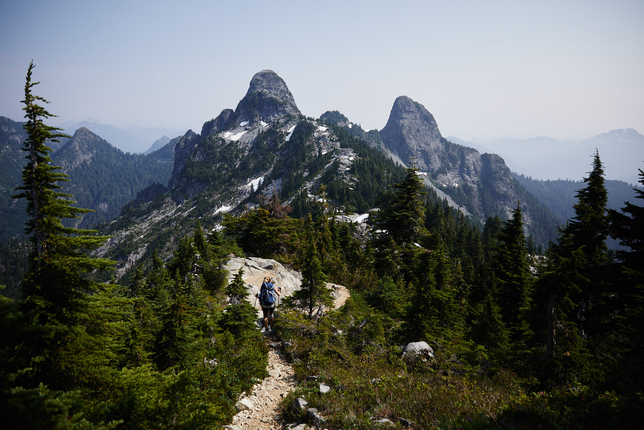
Follow the trail from the parking lot through the forest for the first 6km. The last bit is fairly steep and has you going straight up a boulder field.
Camera Details
Camera: Canon 5D Mk III
Lens 1: Canon EF 24-70mm f/2.8L II USM
Lens 2: Sigma 20mm f/1.4 DG HSM Art
Trip Details
Date: July 1, 2017
Start Time: 7:00am
Total Time: 52 hours
Participants: Patrick Latter, Paige Sorger
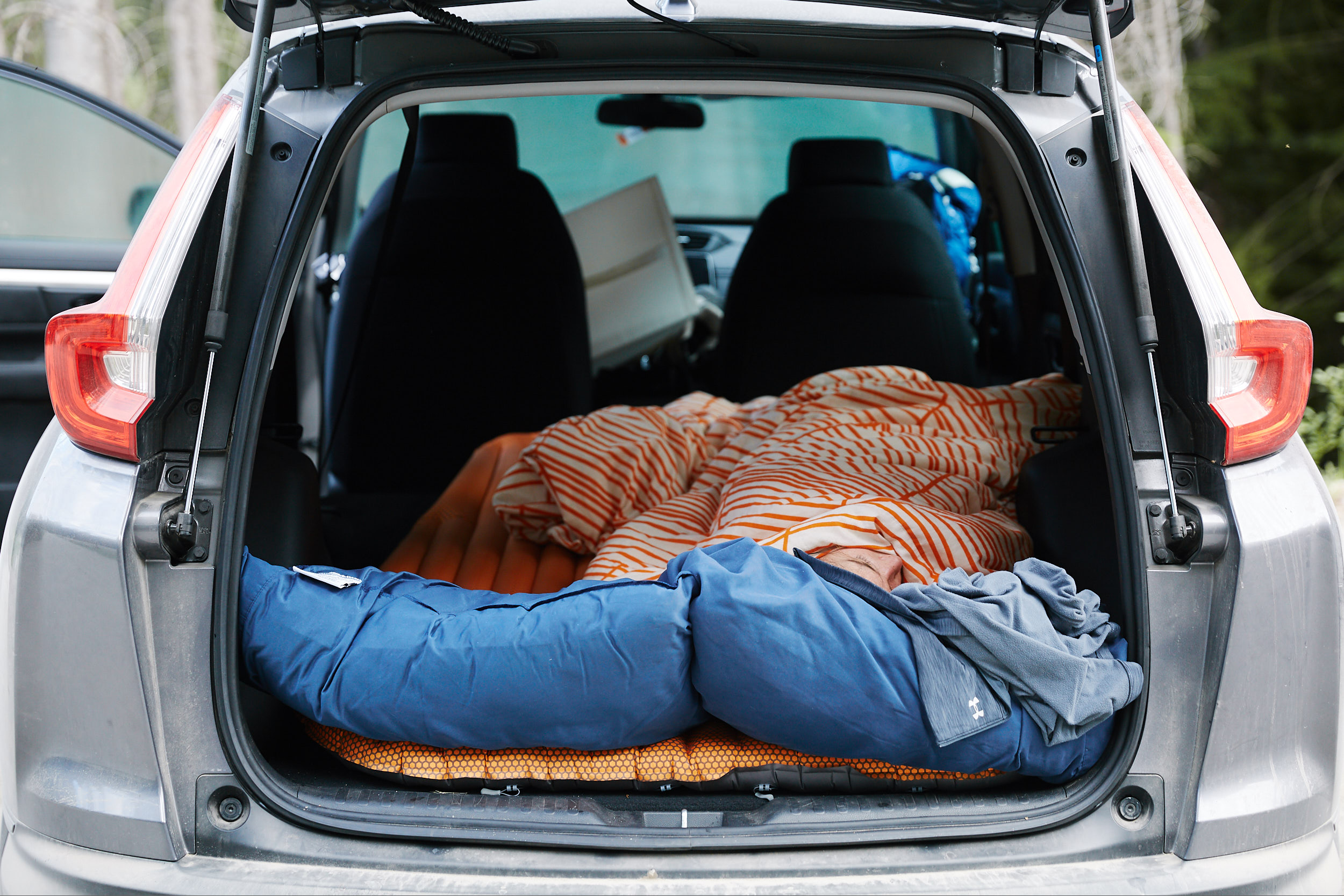
We arrived late Friday night to the parking lot and slept in the car to get an early start on the trail.
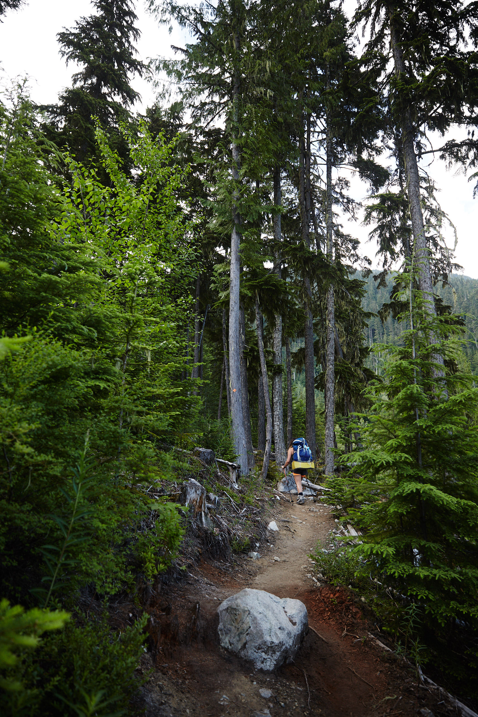
It’s a very well defined trail that snakes steeply through the forest.
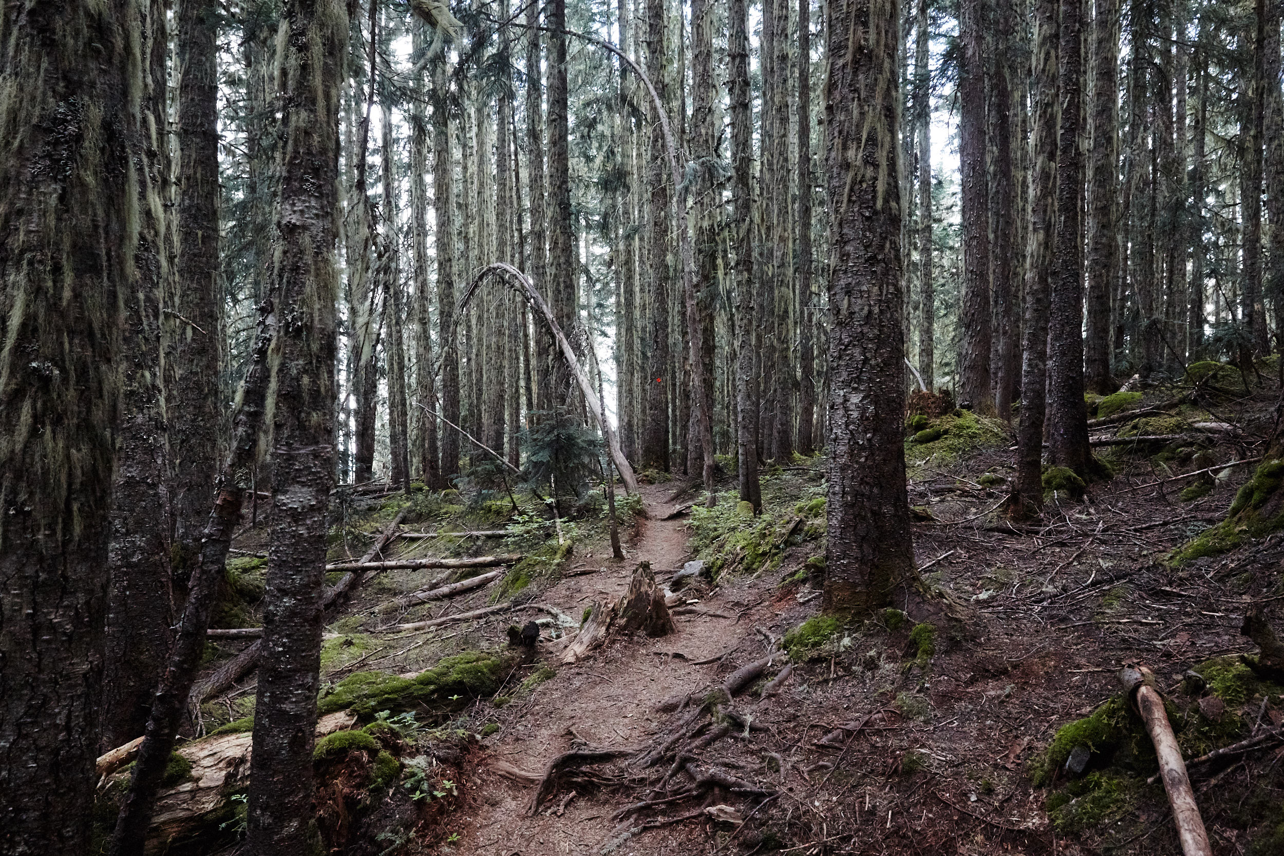
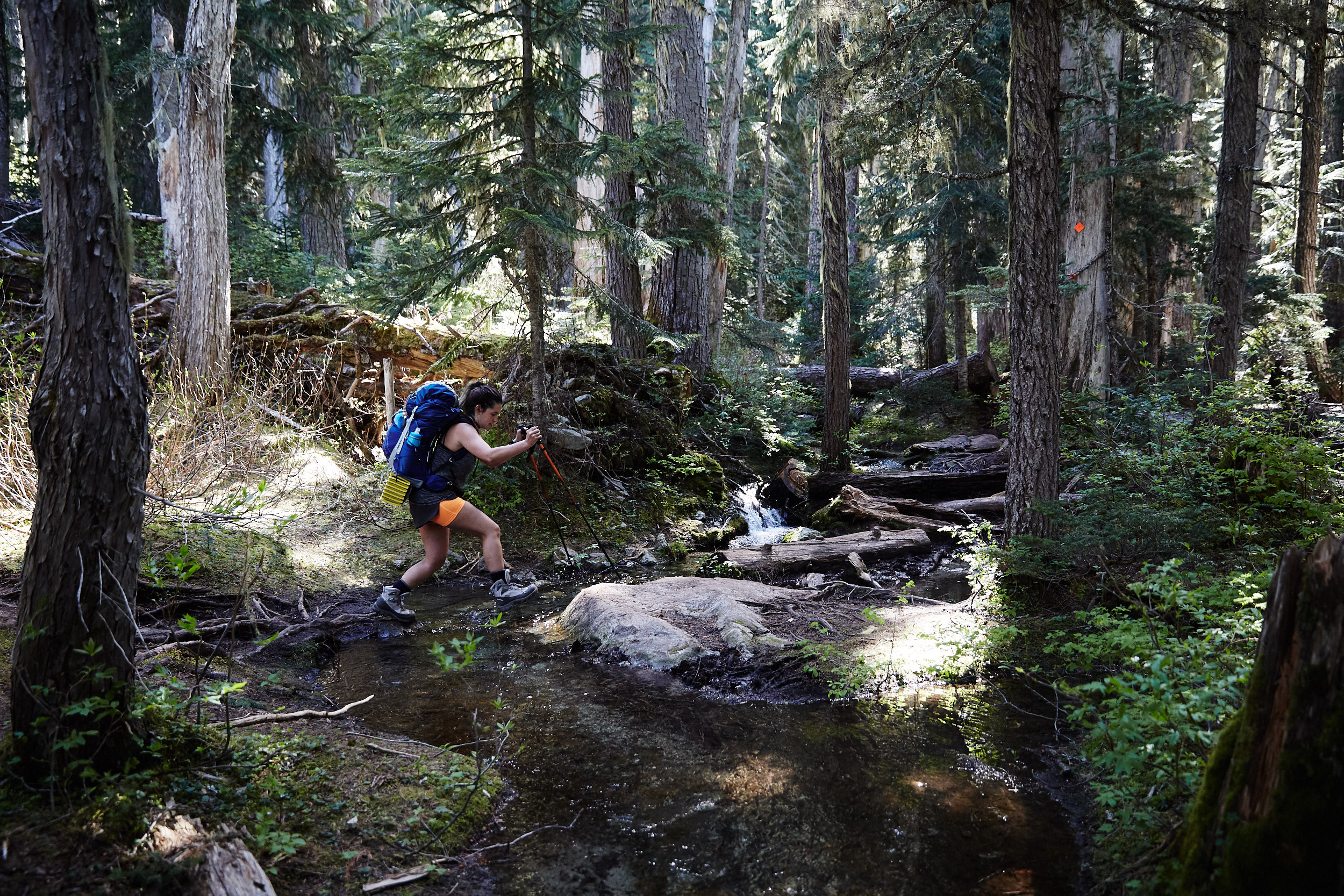
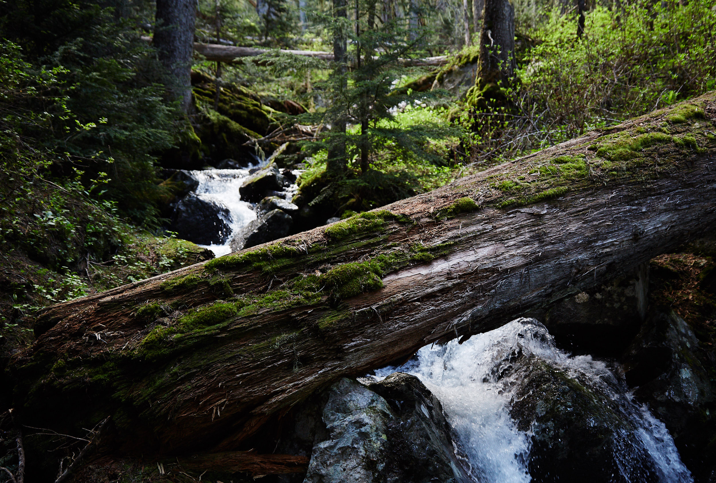
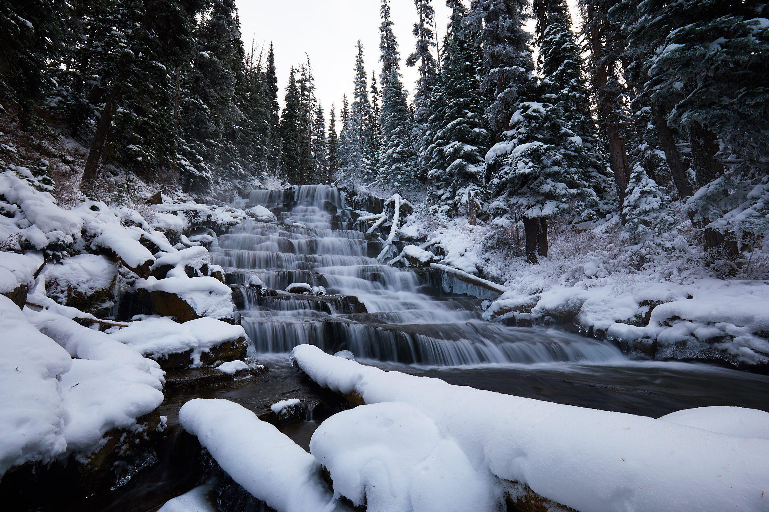
You’re often close to a creek and later a large waterfall that originate from the lake above.
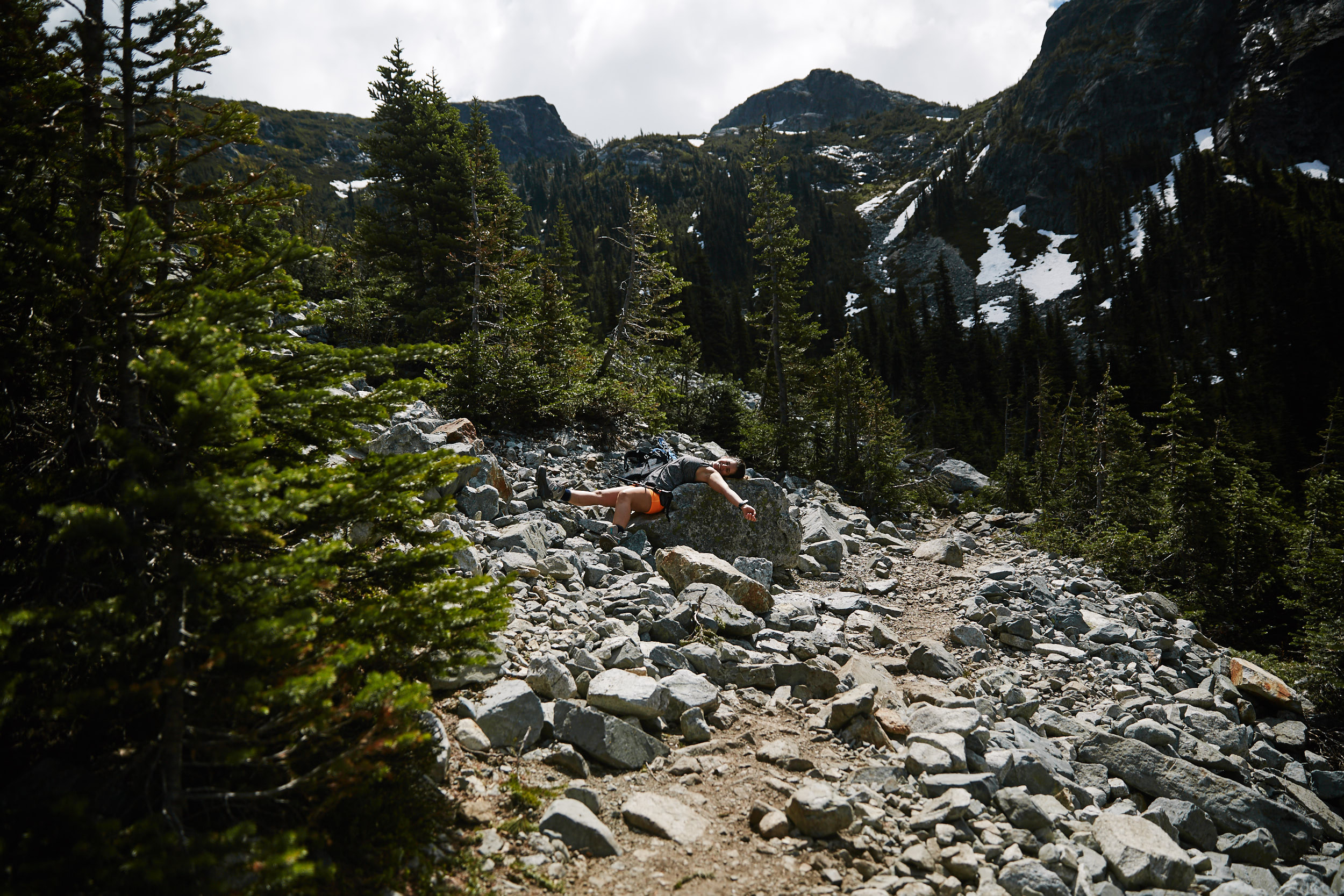
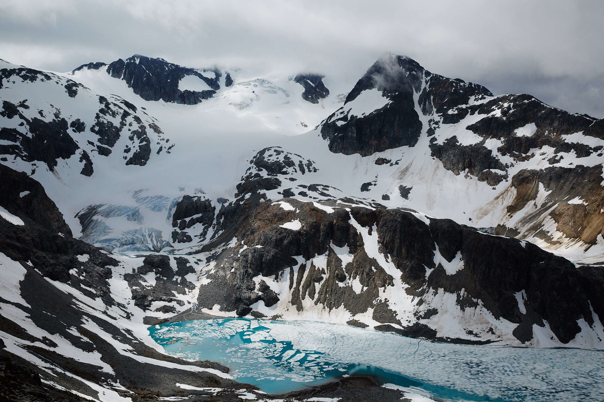
nce you break through the treeline, you must make your way through a steep boulder field for the last 200m before arriving at the lake.
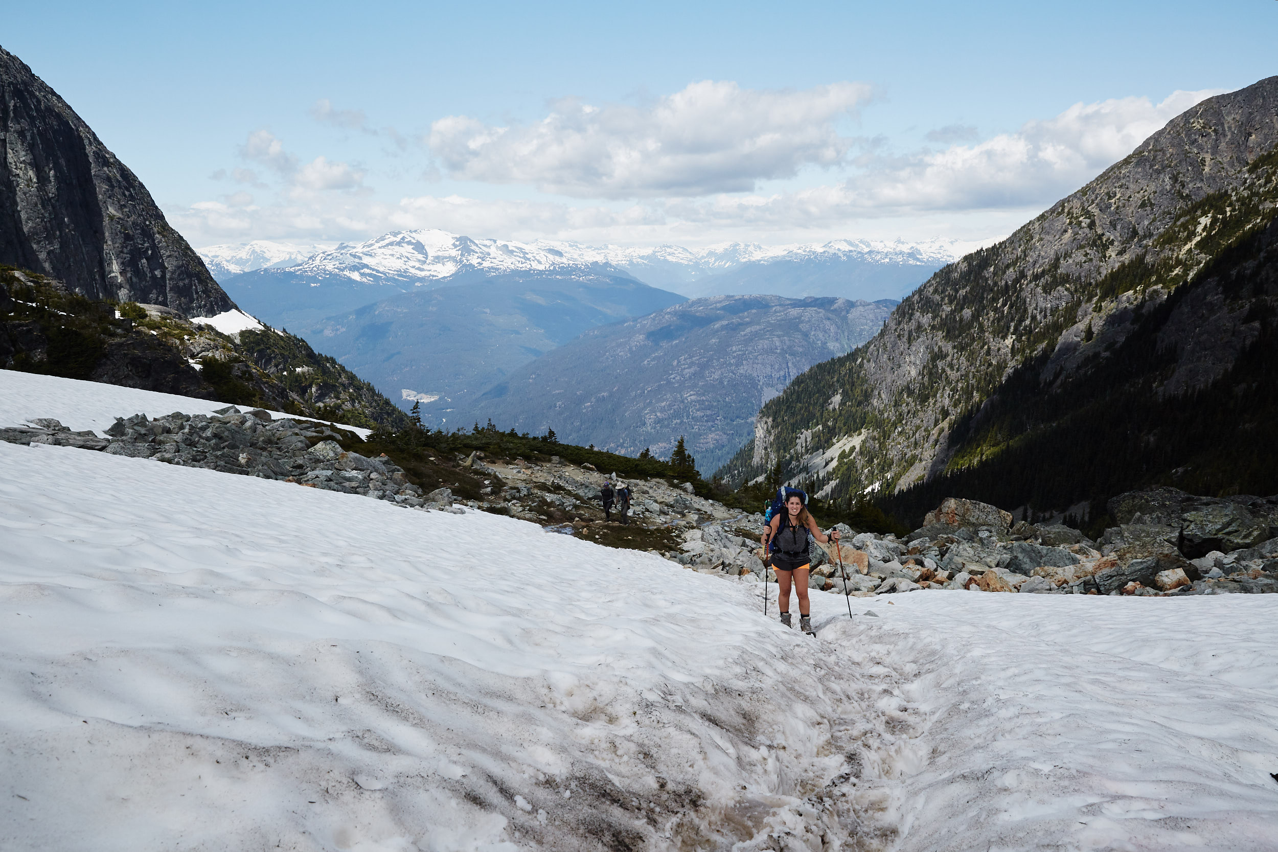
There was only a little bit of snow remaining in patches at the very top. No snowshoes or micro spikes required.
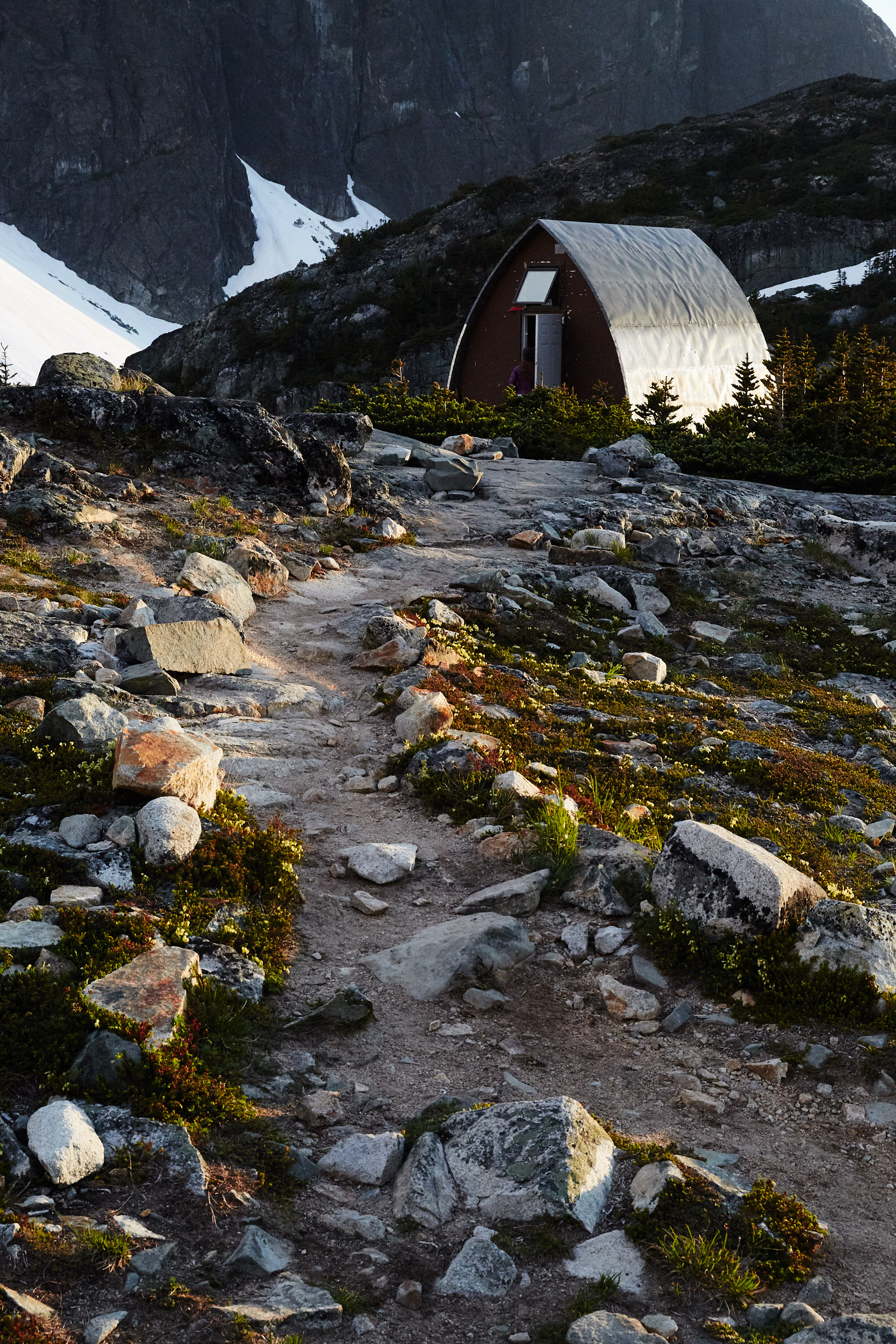
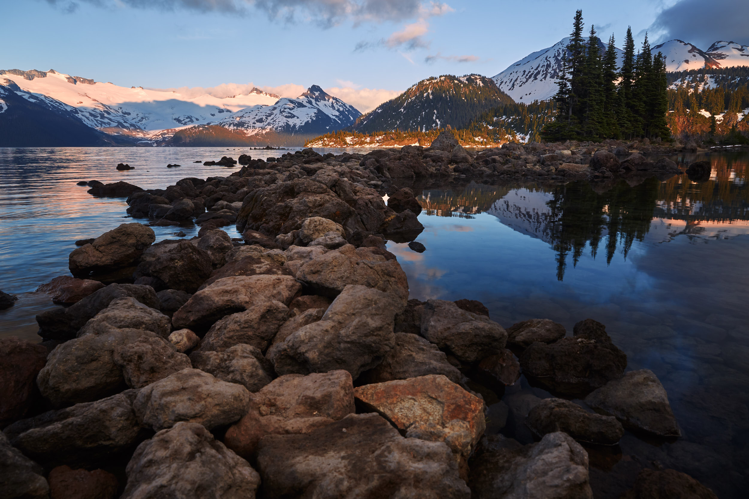
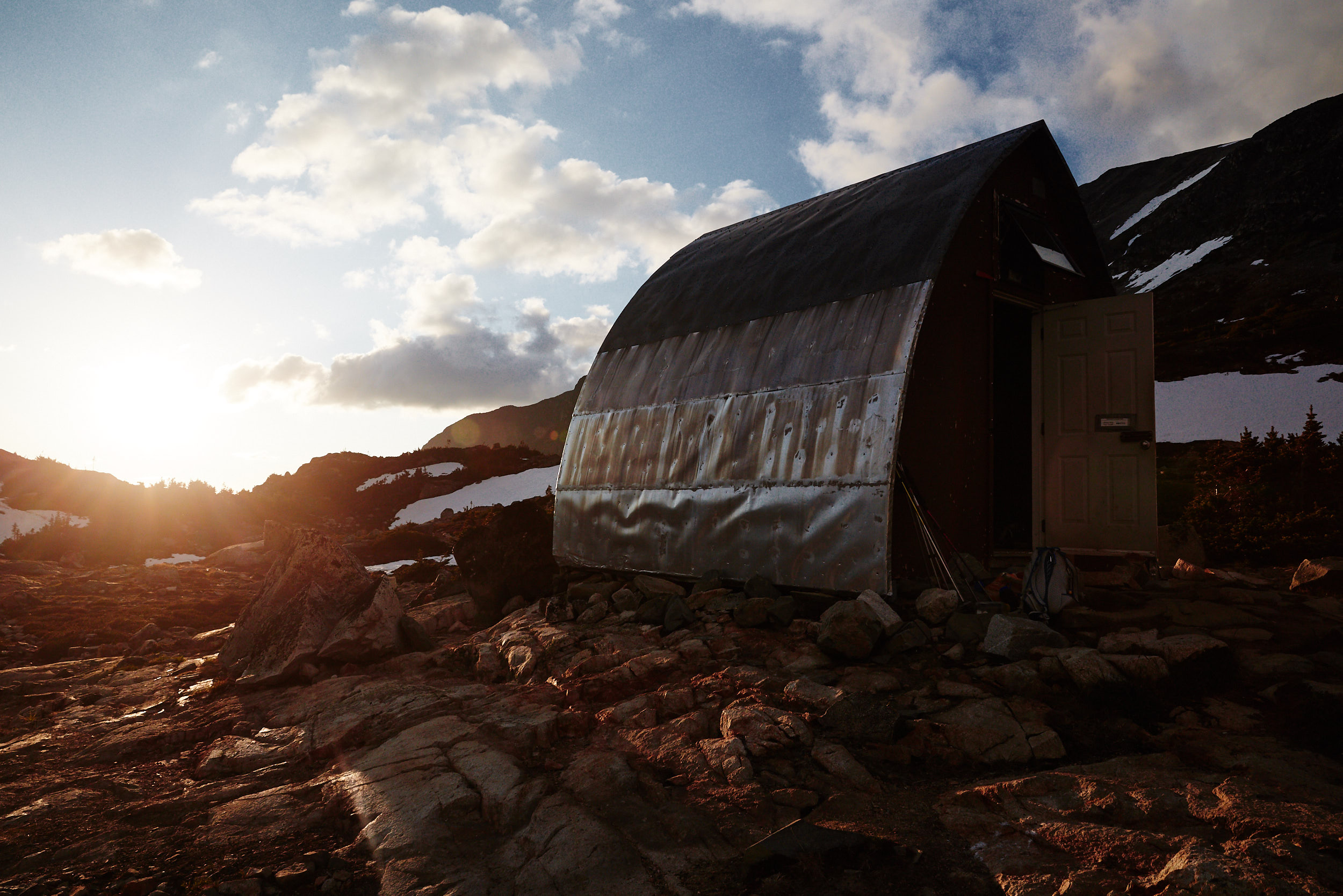
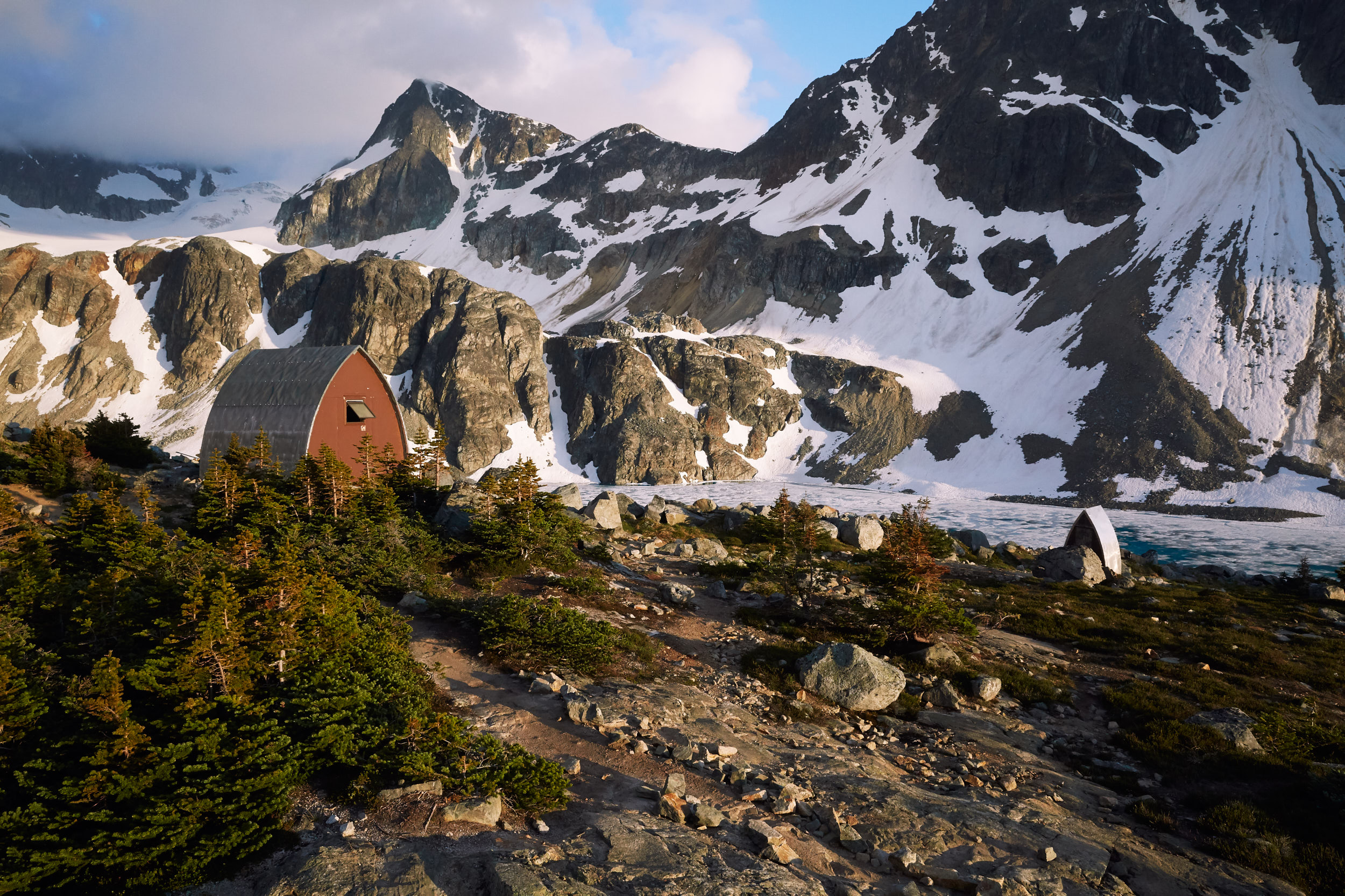
The lake is home to a small alpine hut that can be used to store your things away from animals, cook and sleep.
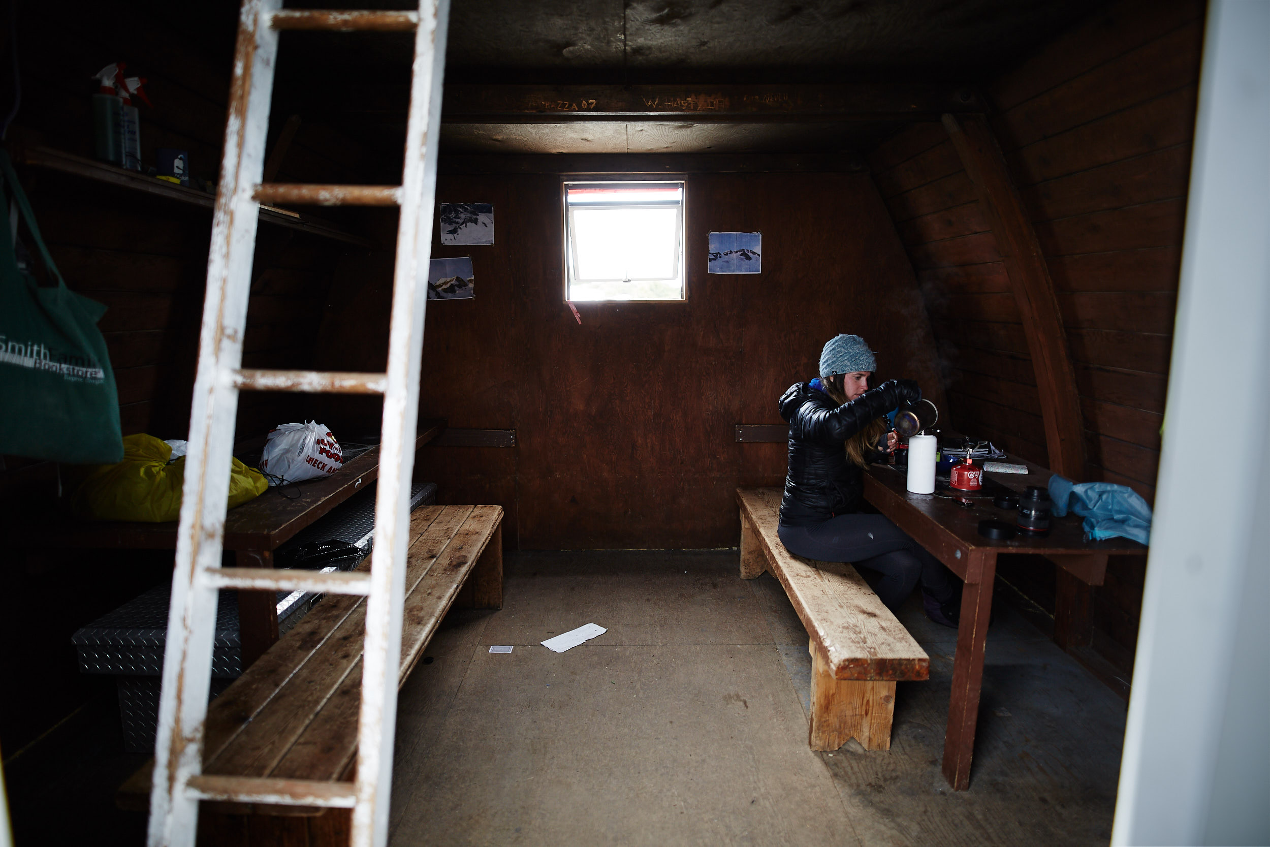
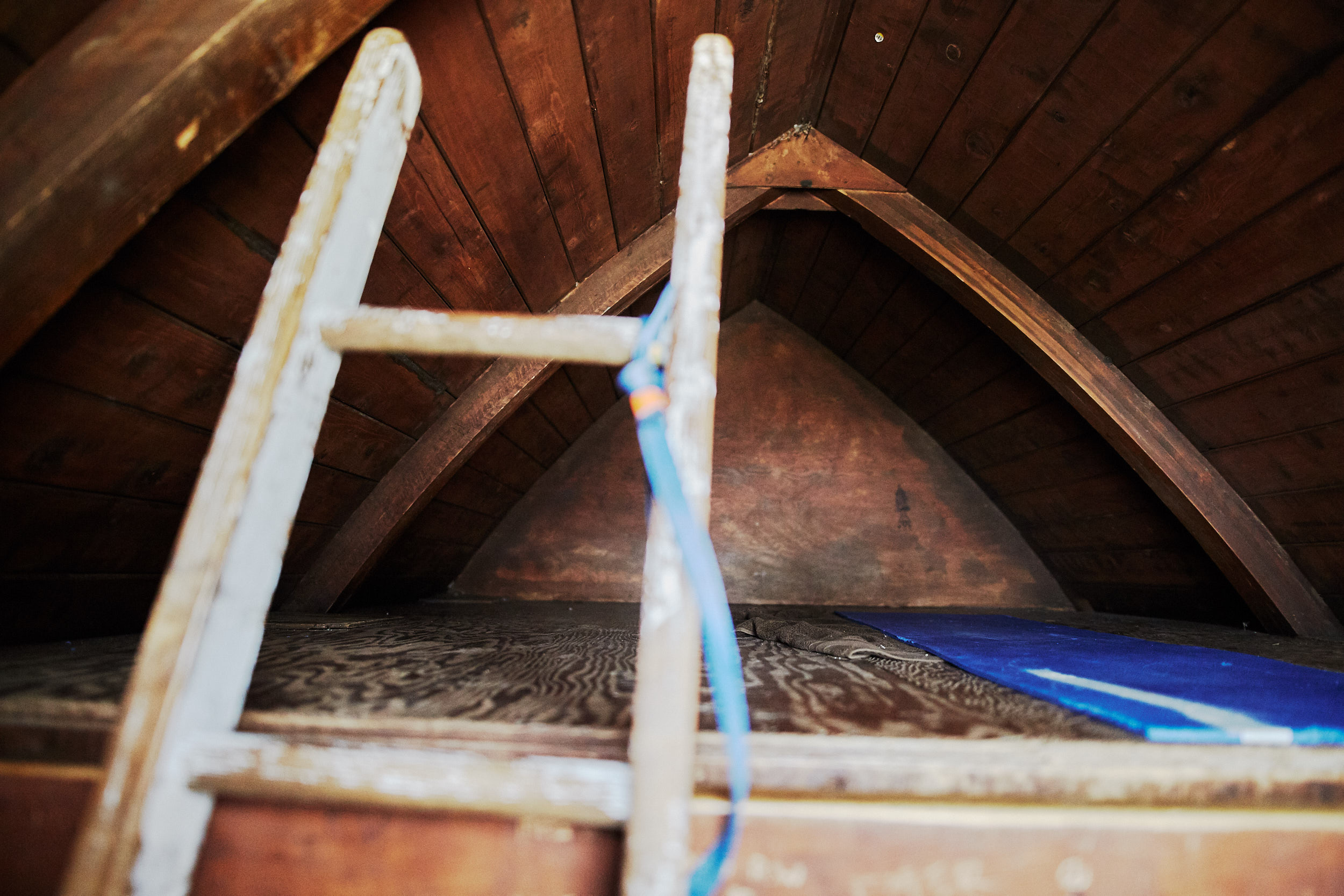
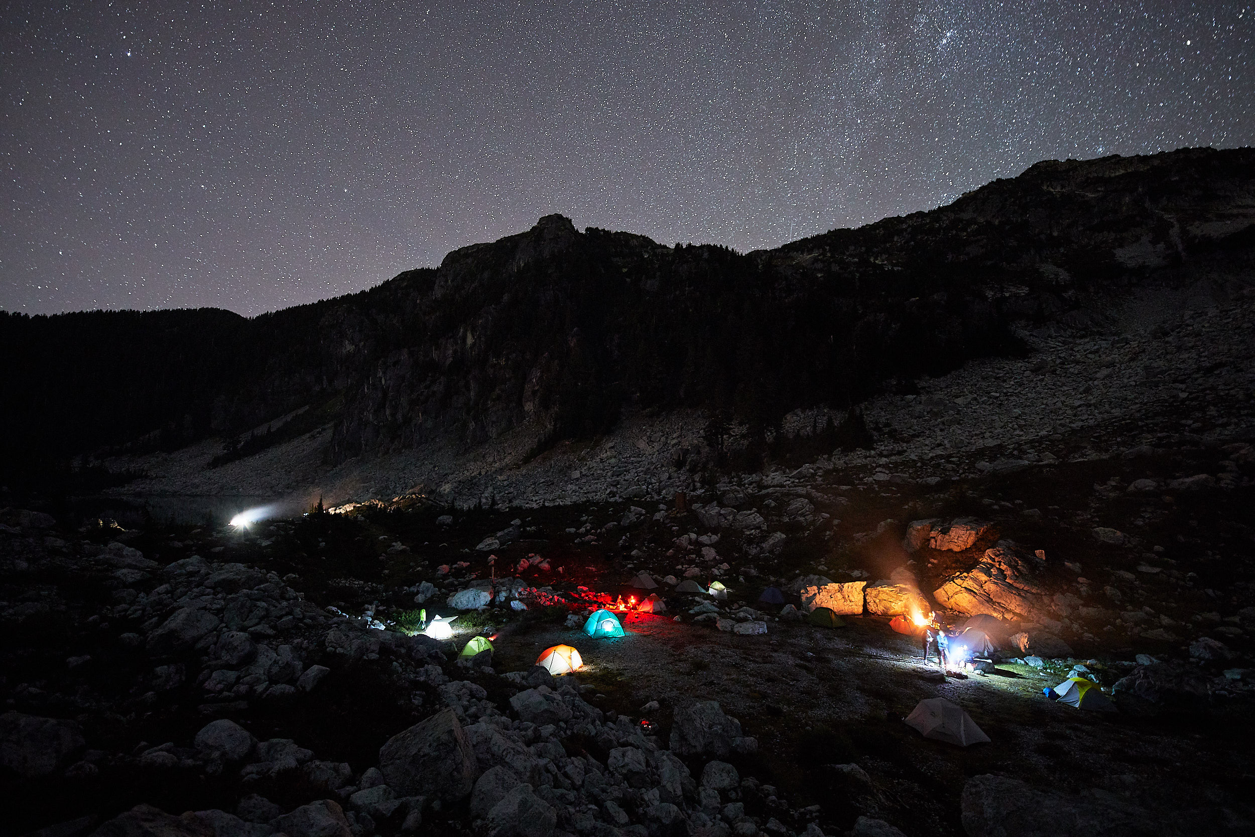
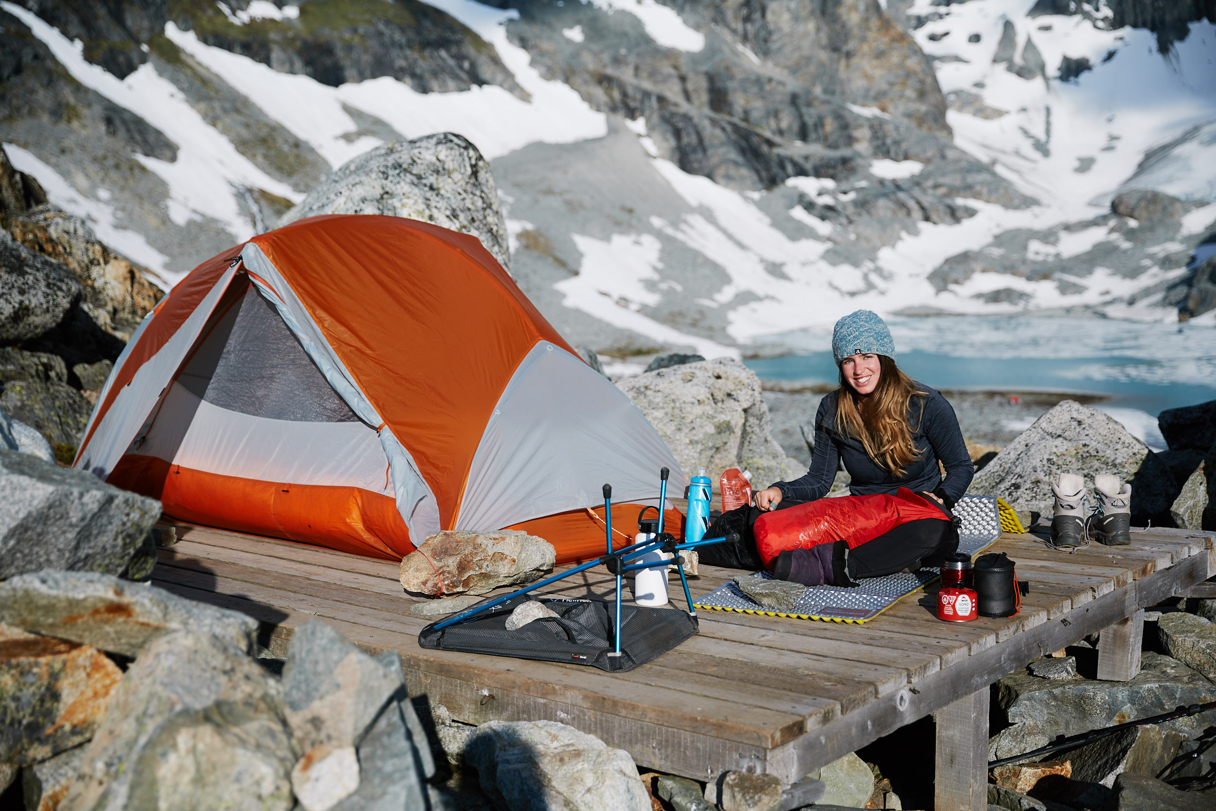
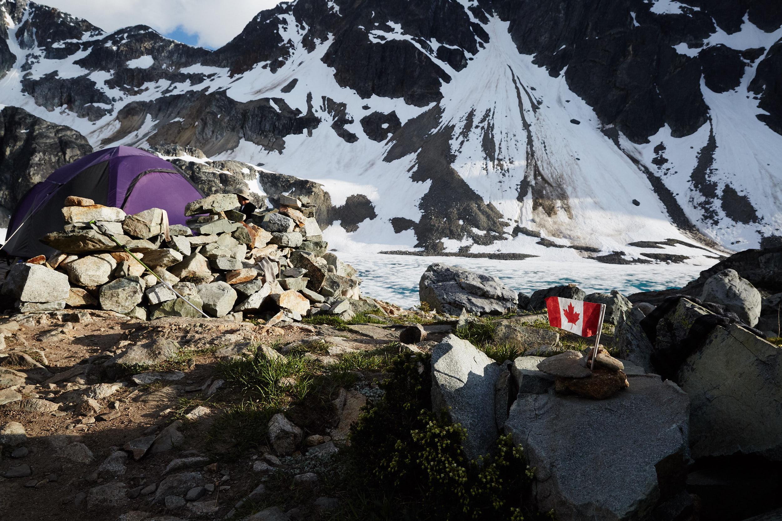
While the hut does sleep roughly 4 people, we choose to tent on one of the many tent pads provided.
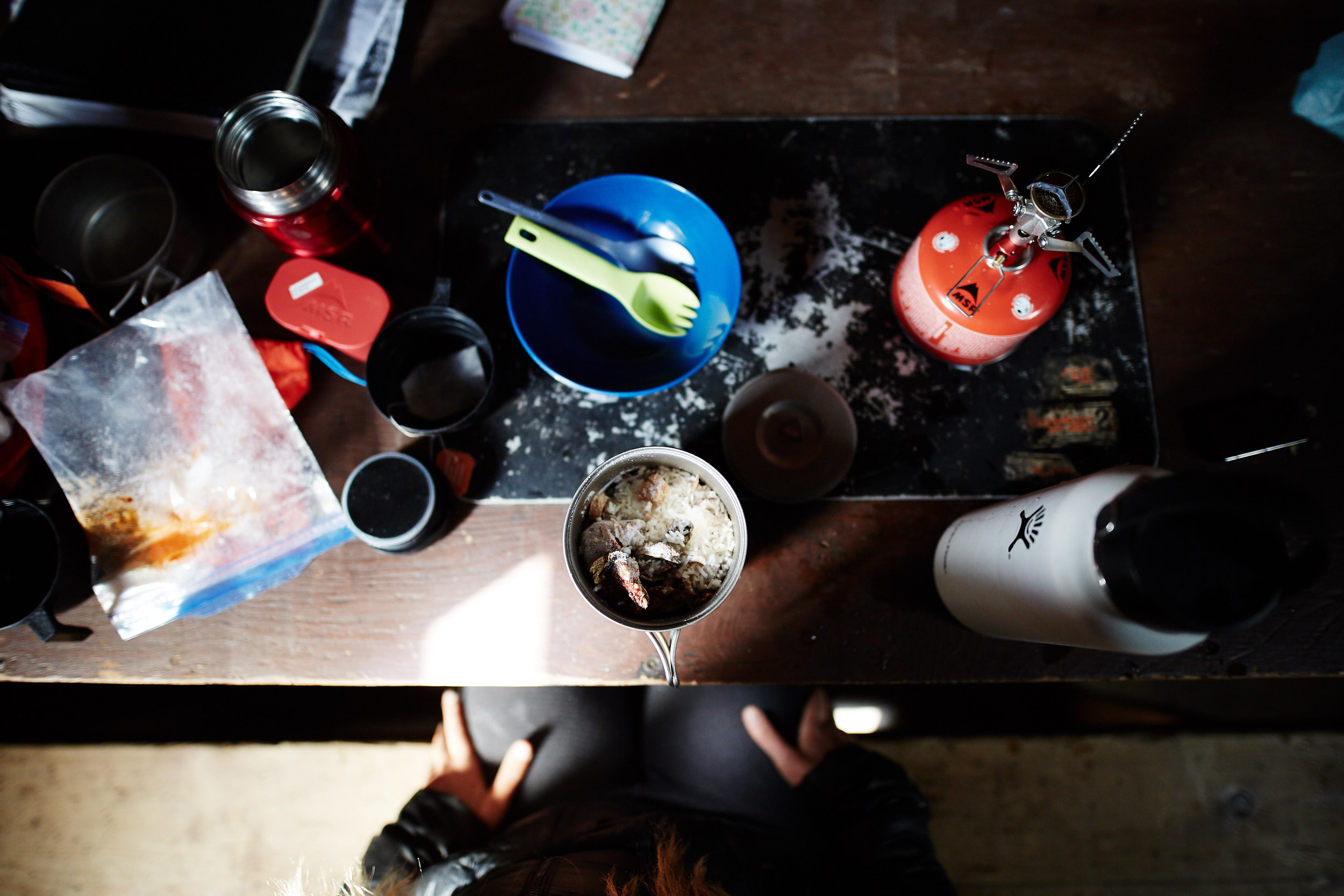
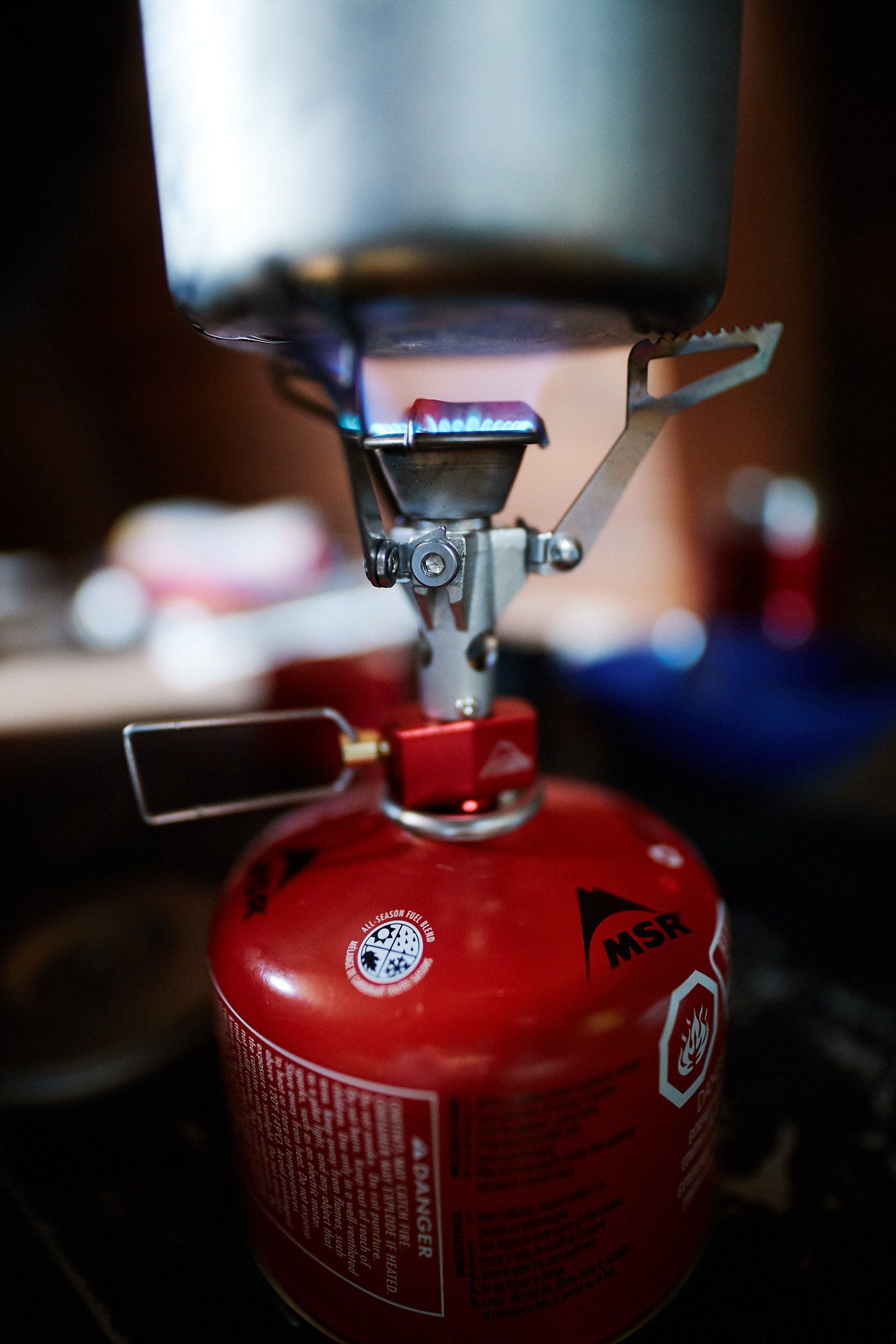
Some homemade Thai coconut curry re-hydrating.
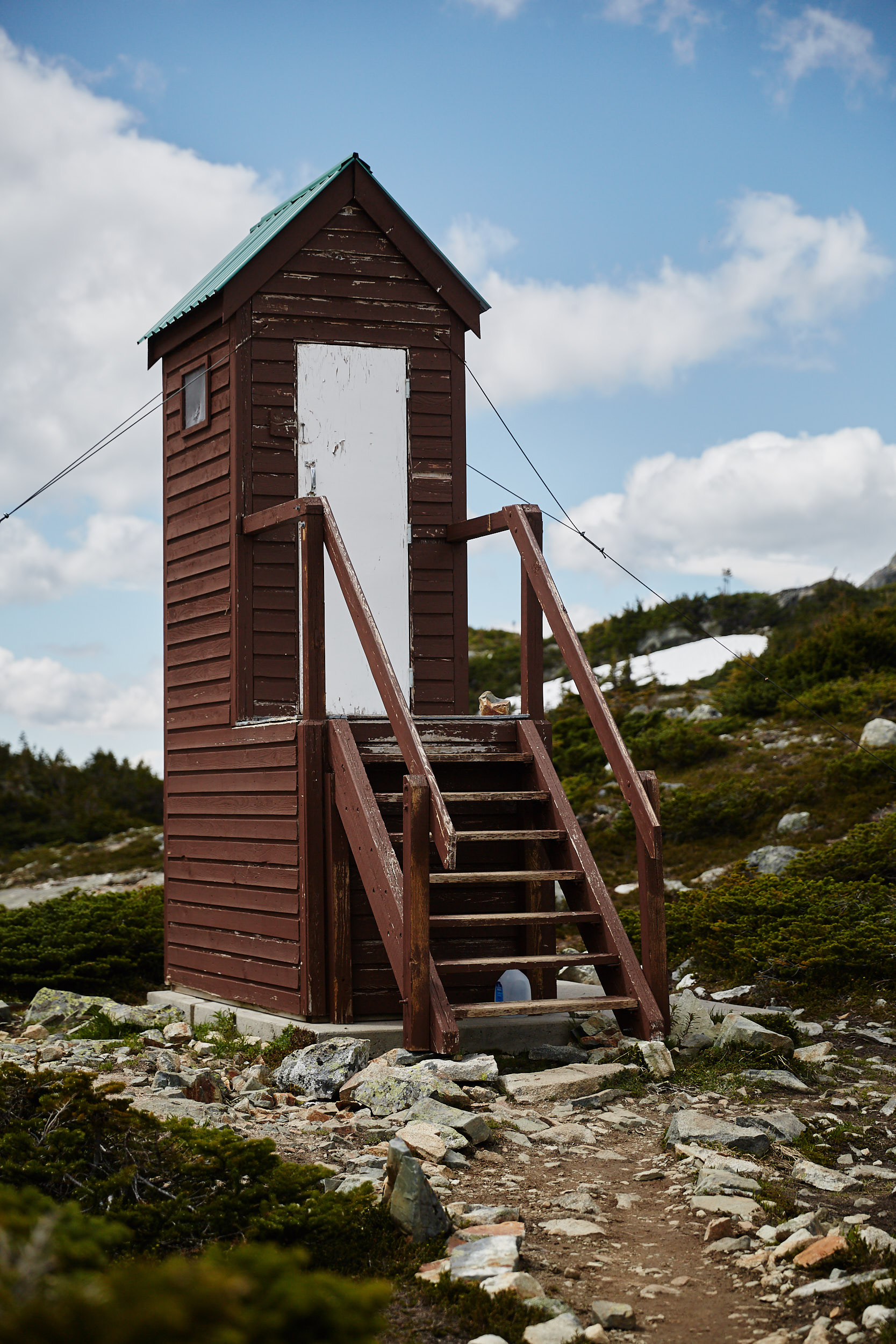
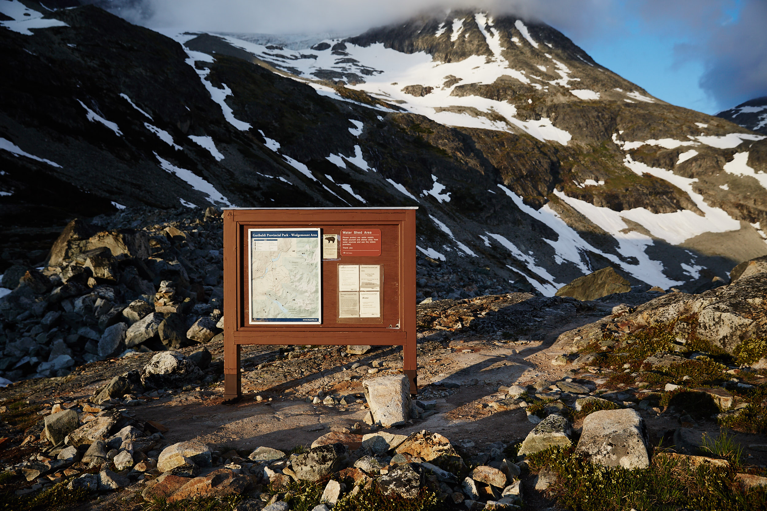
There is a nice outhouse close by the lake and hut.

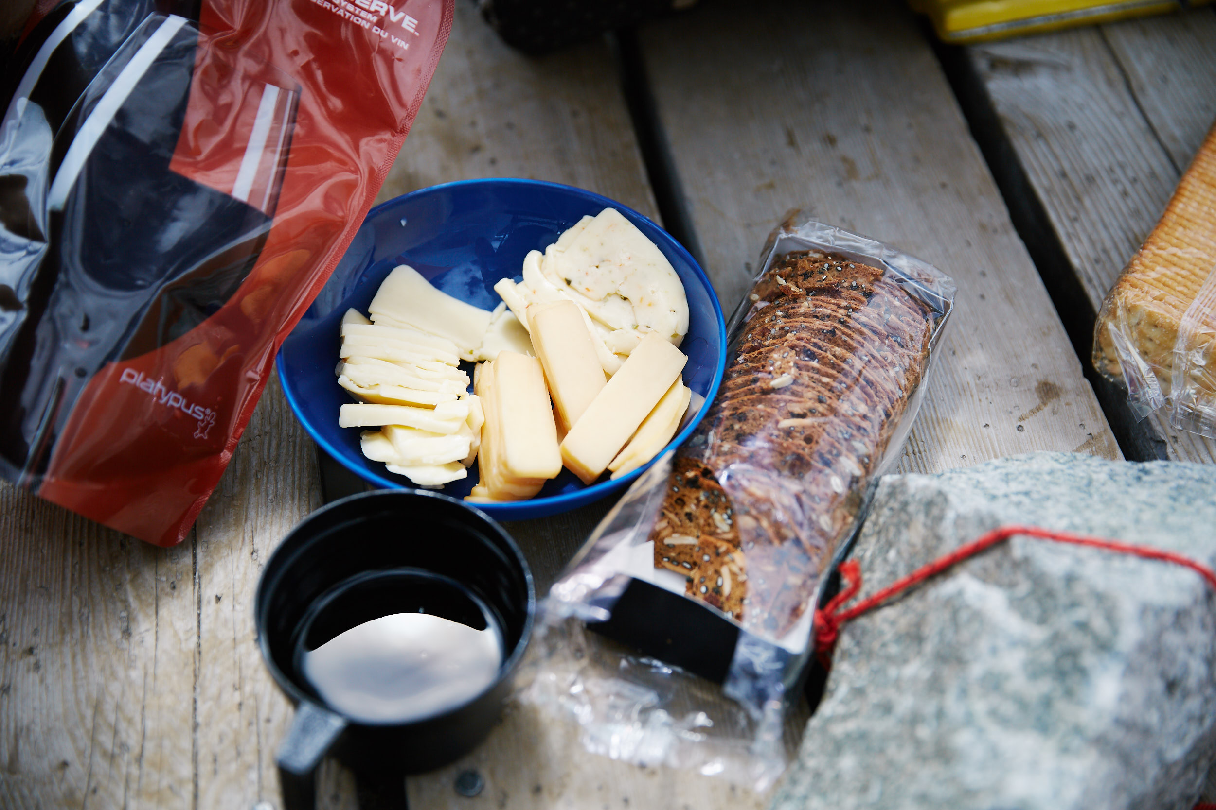
Canada day wine!
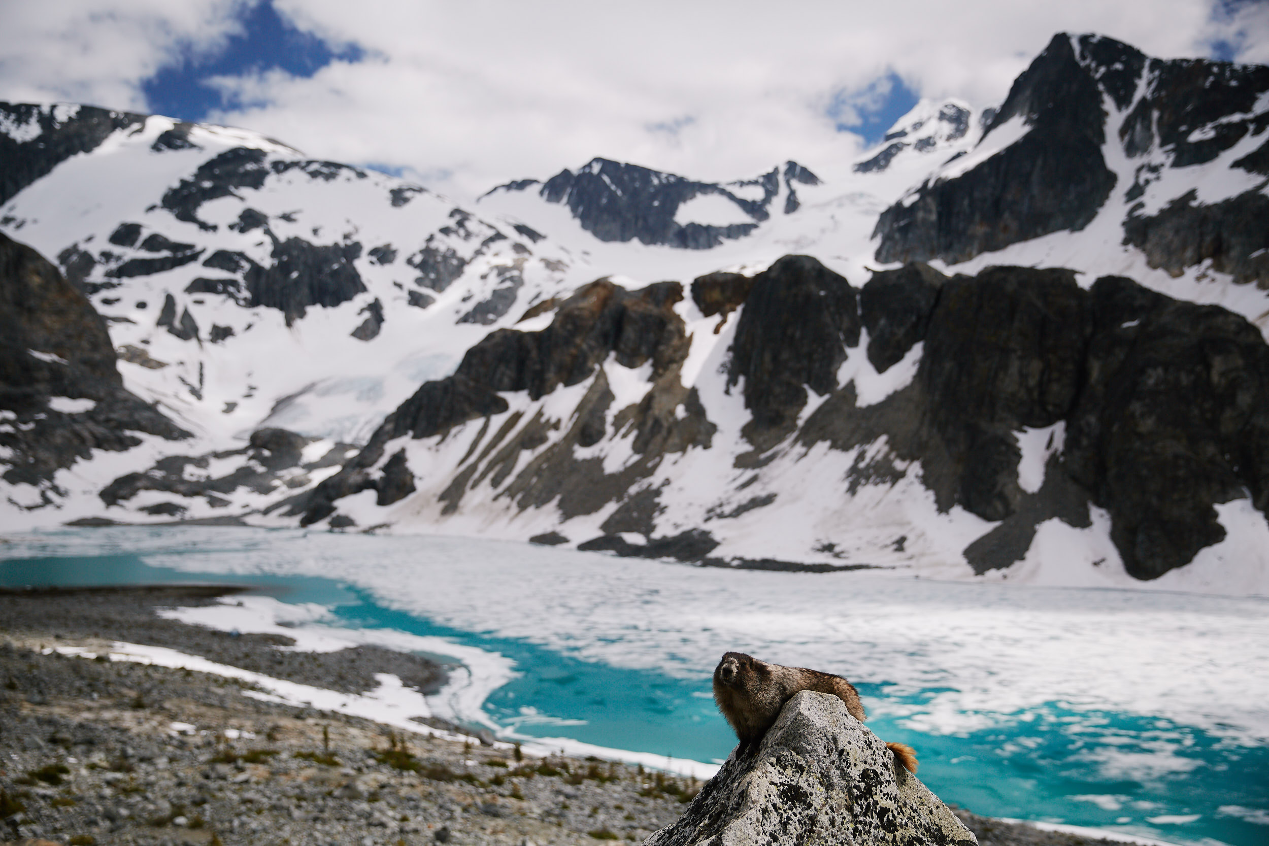
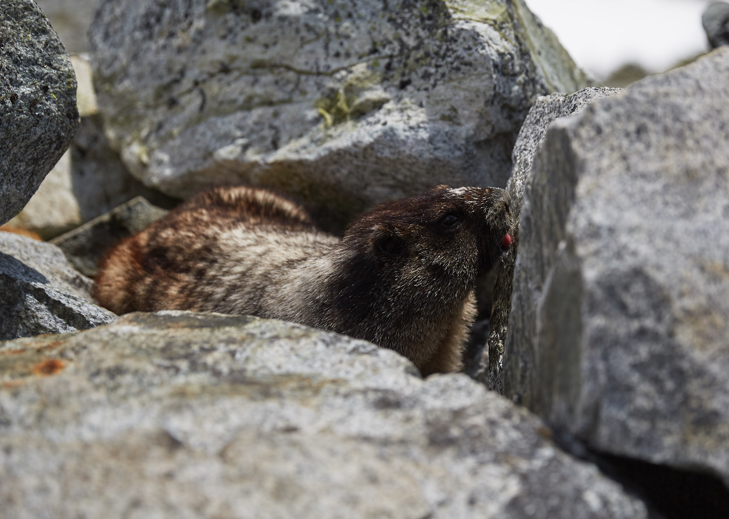
The resident marmots were extremely tame, you had to make sure you didn’t leave anything out when you weren’t there.
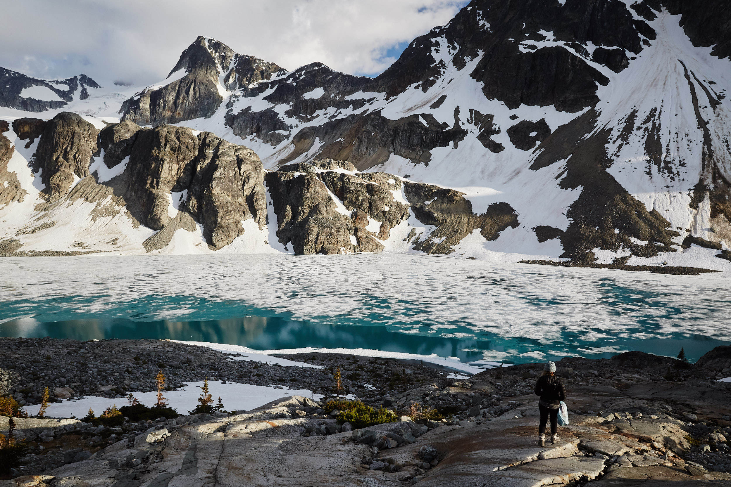
After lunch we headed down to the lake to refill our water bottles.
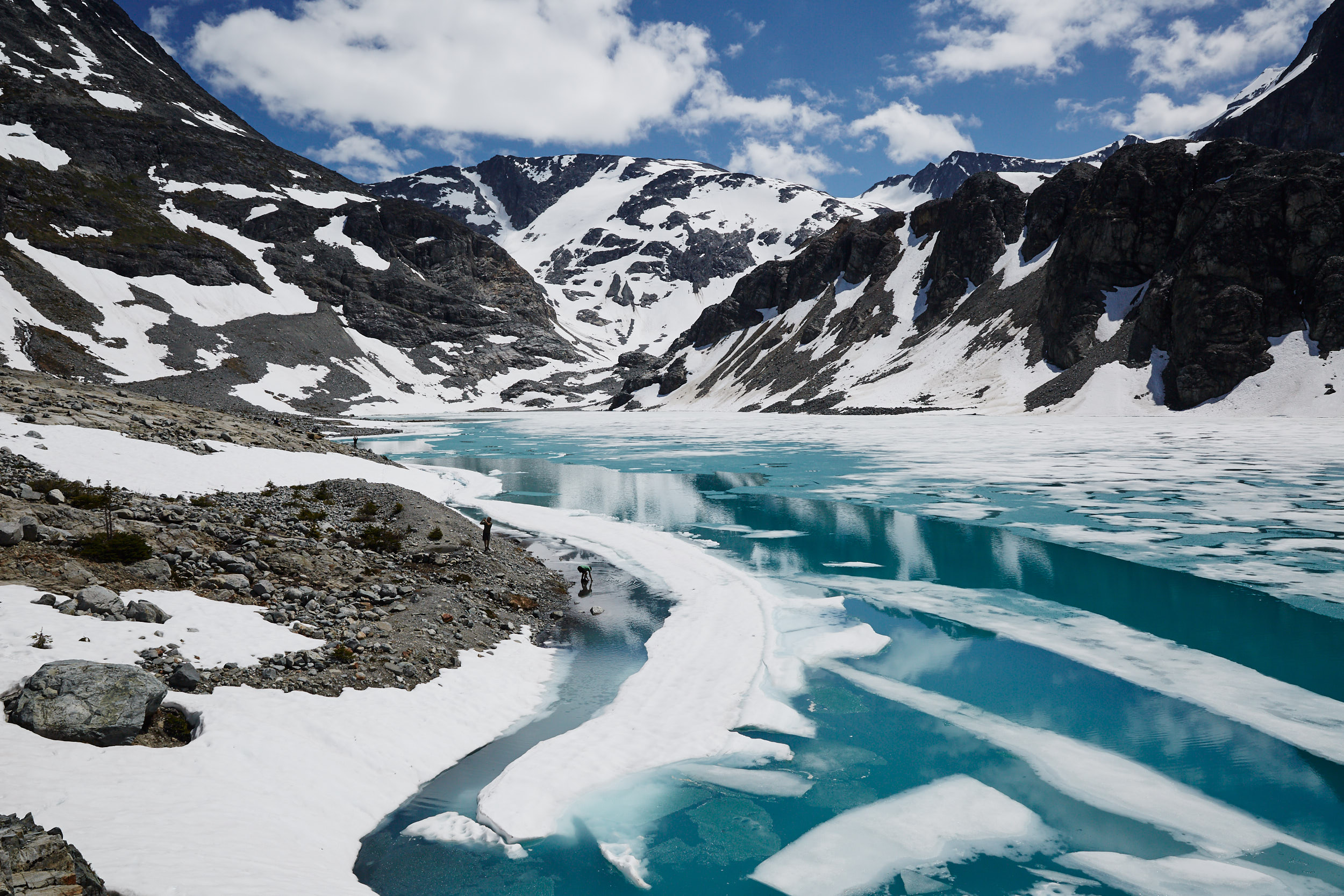
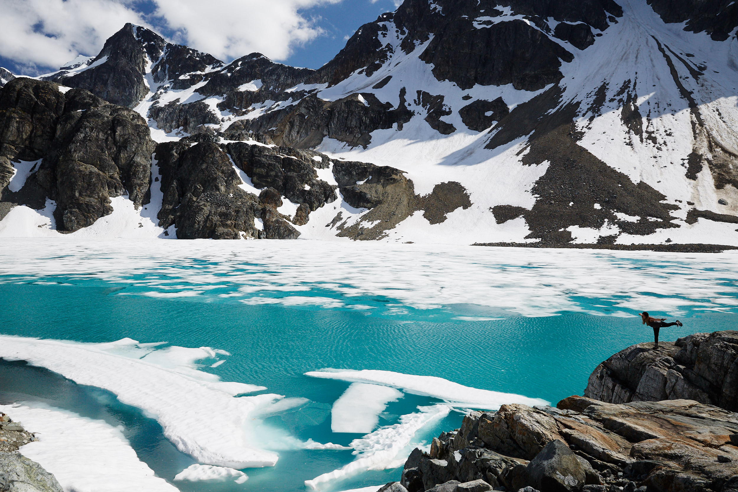
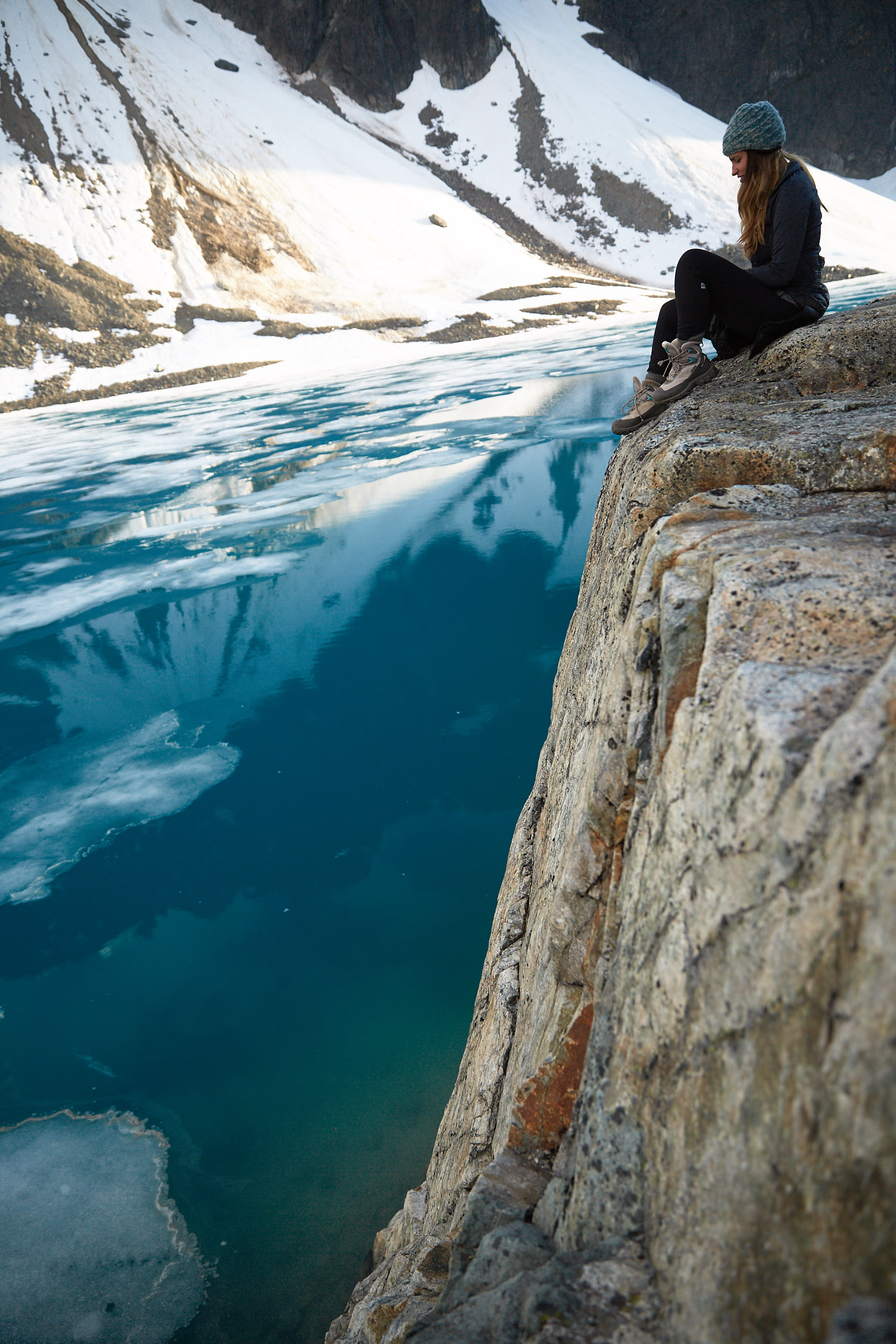

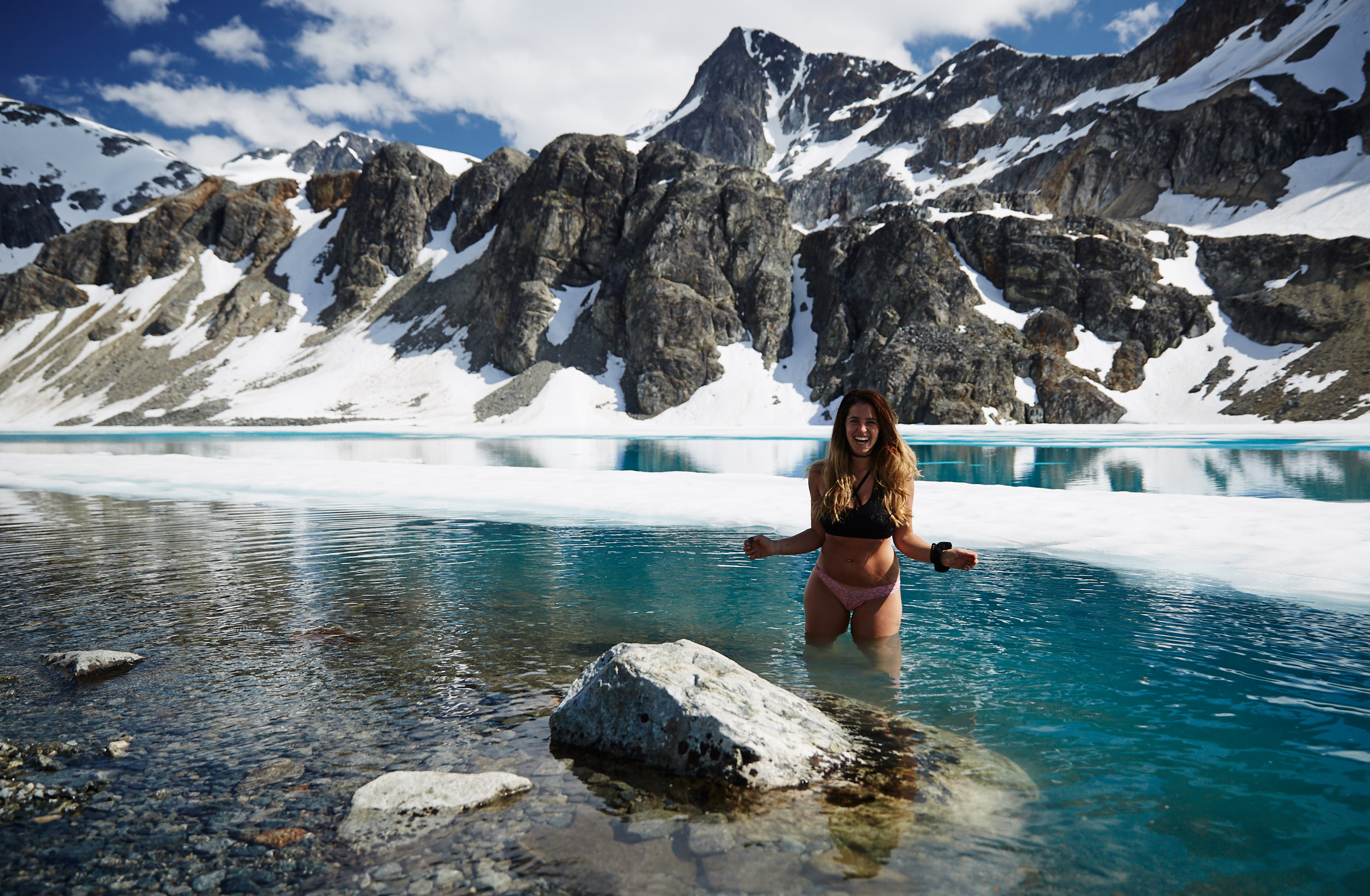
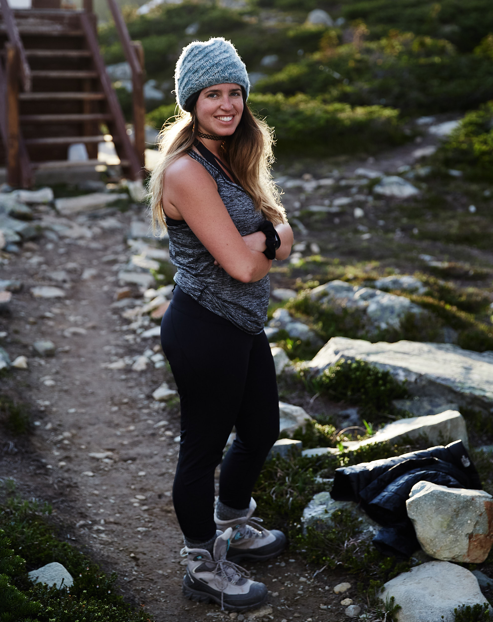
Paige braving the ice cold glacier waters.
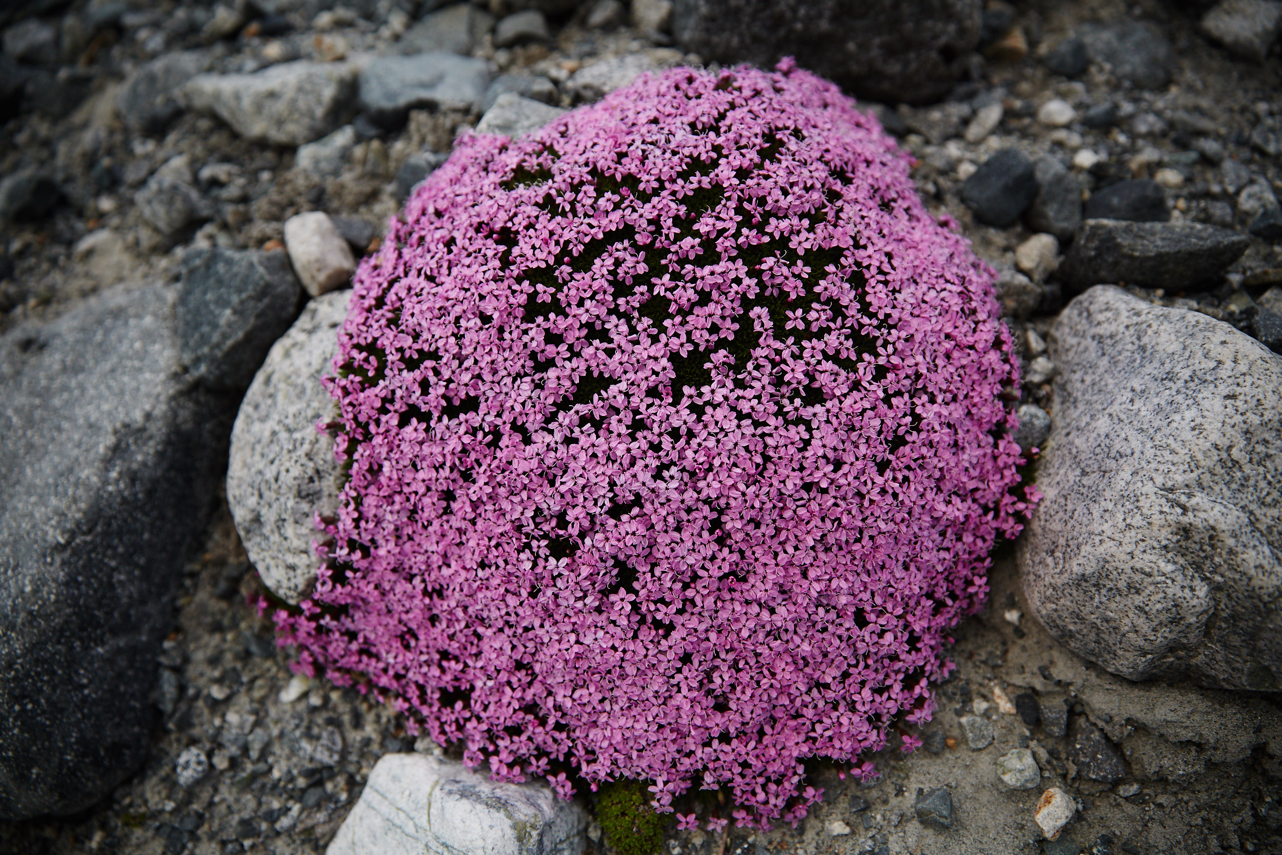
While there isn’t very much vegetation at this elevation, their were occasional bursts of wild flowers.
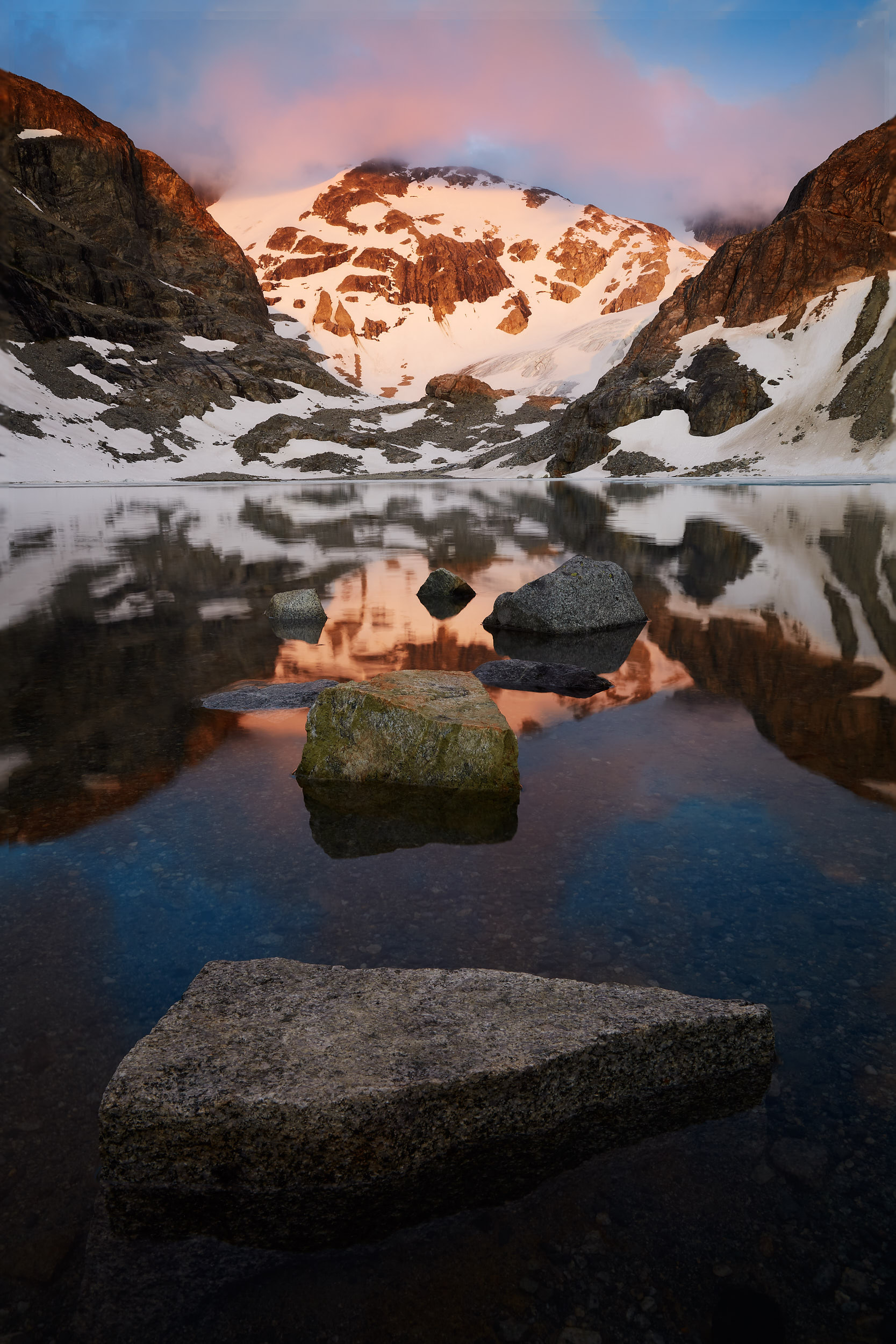
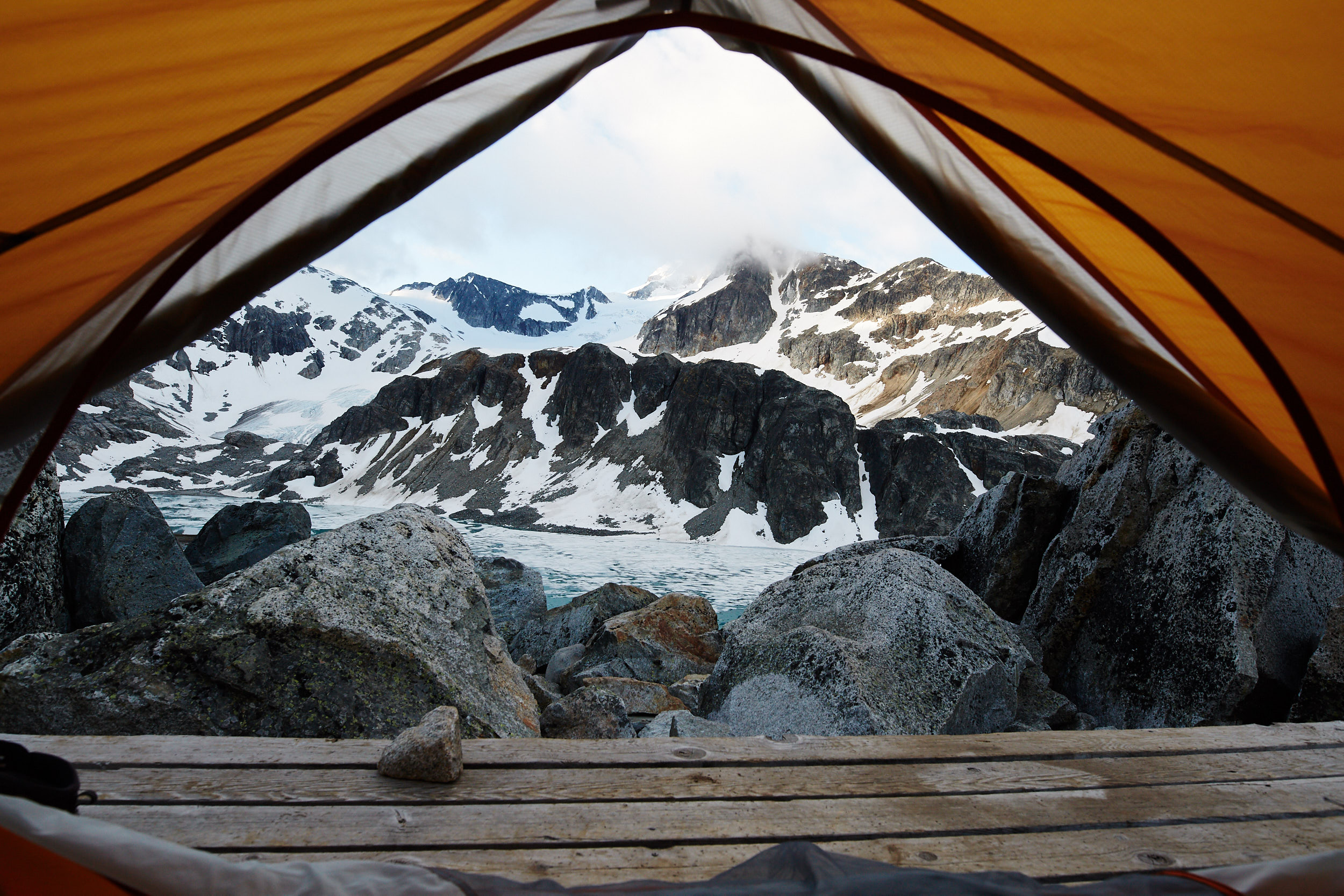
The next morning we woke up and had some breakfast before heading out to hike the nearby Mount Cook.
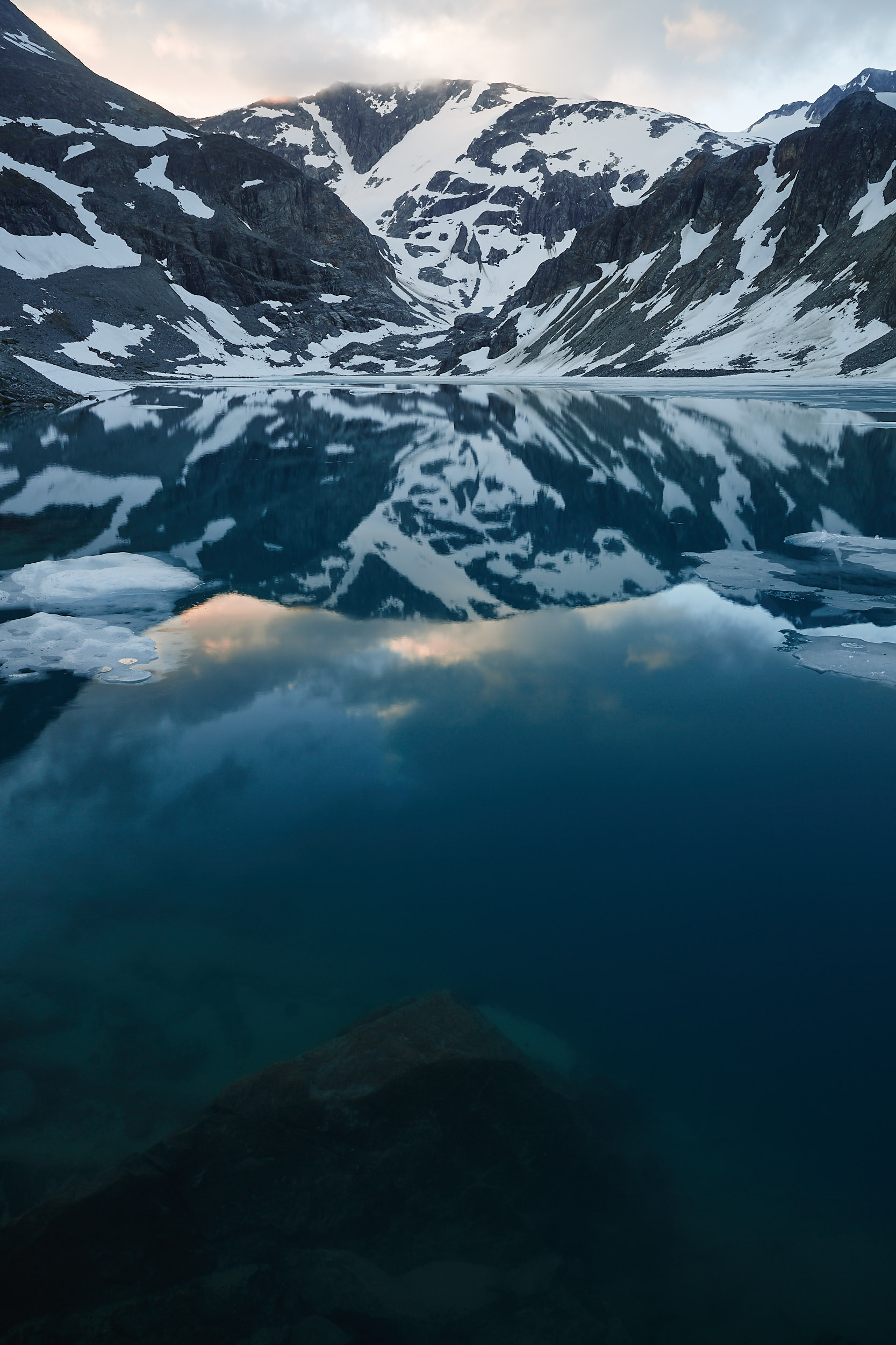
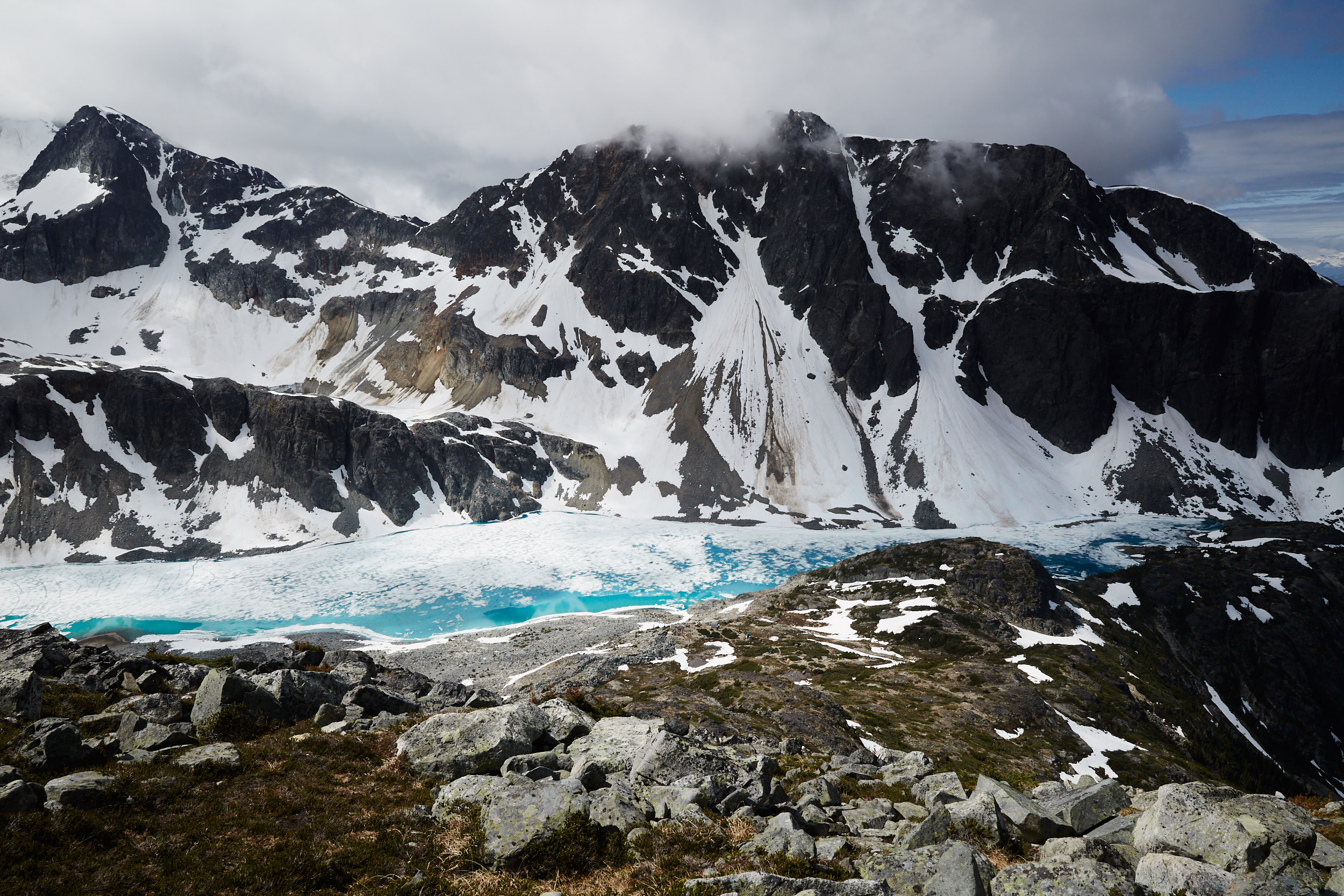
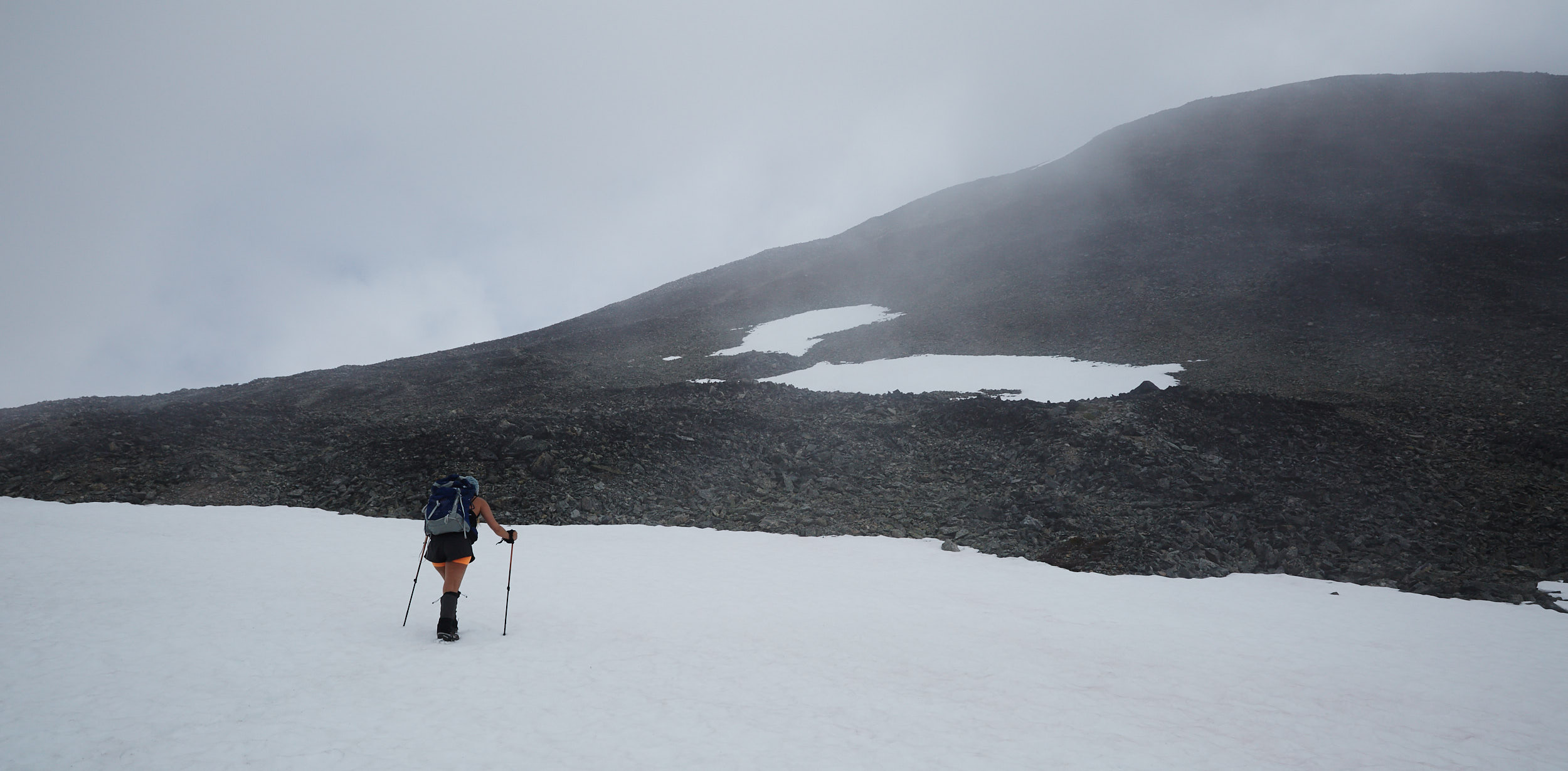
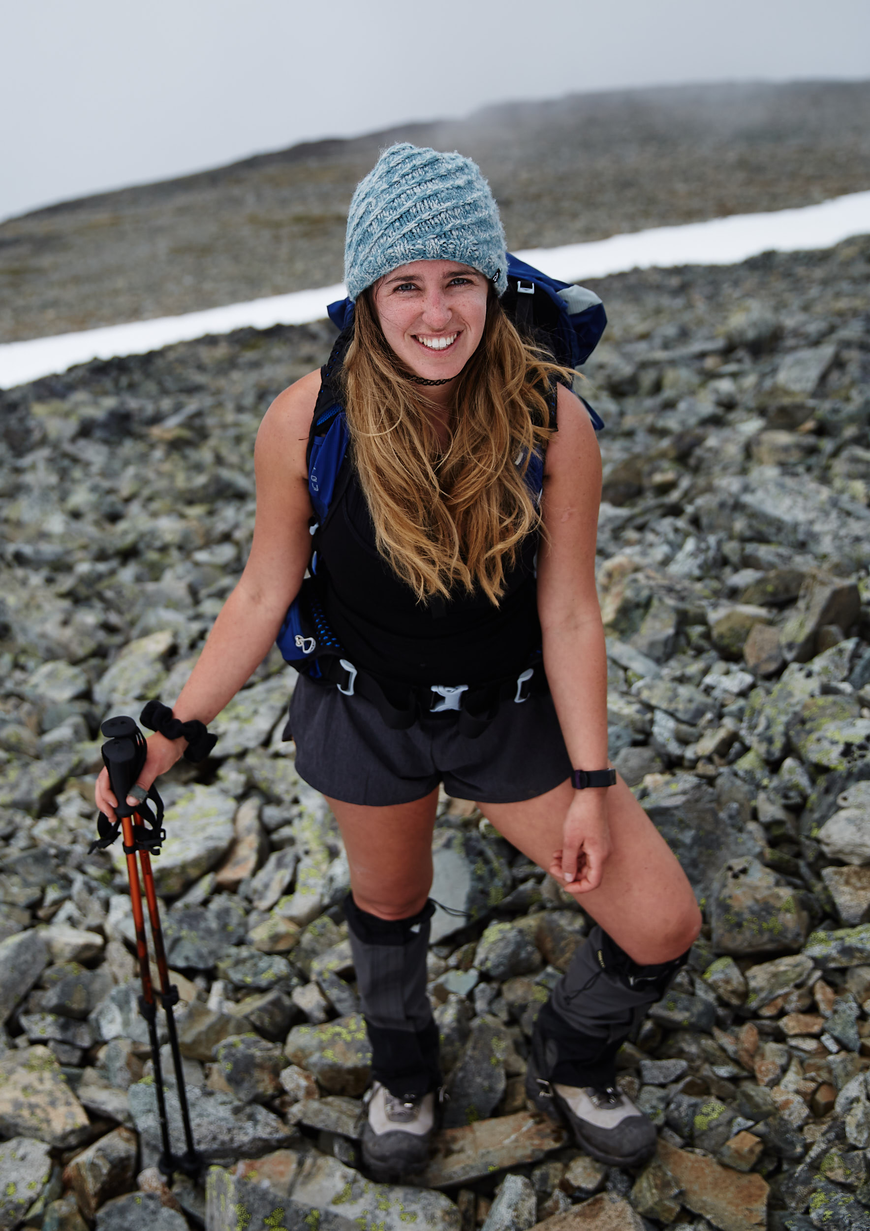
I’m not positive but from what I could find online, Mount cook was about 800m elevation gain. It was fairly difficult, as the trail is easy to lose and you’re often crossing large loose rocks.
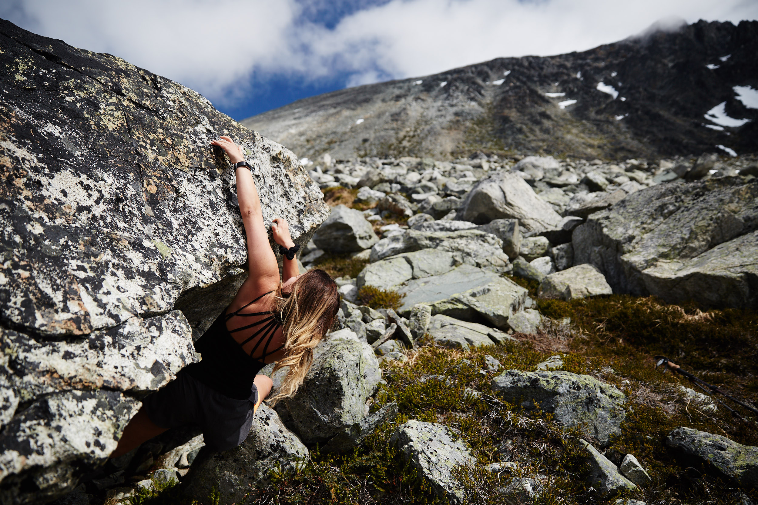
A short bouldering break.
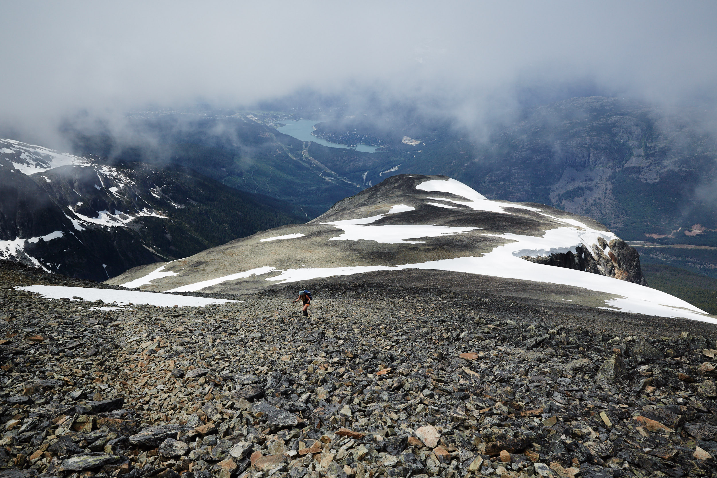
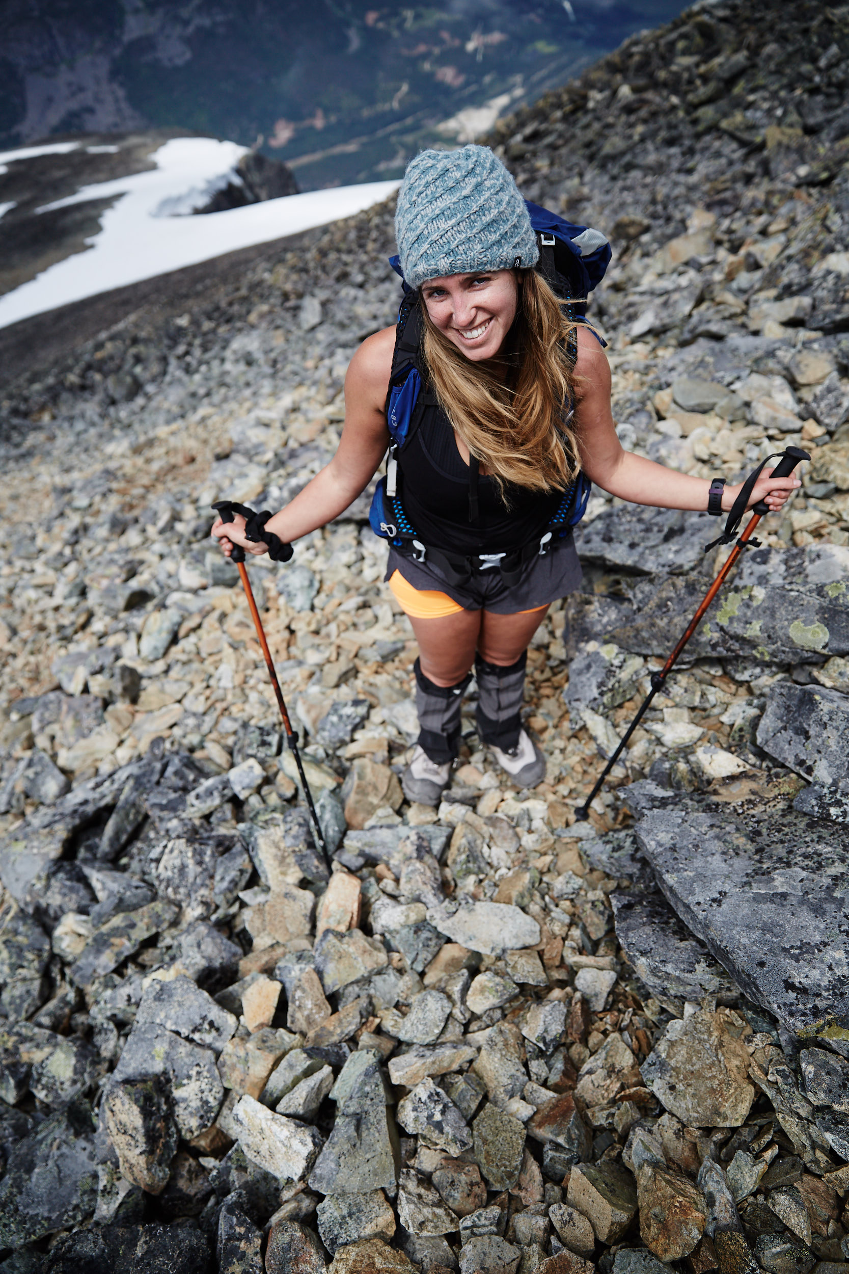
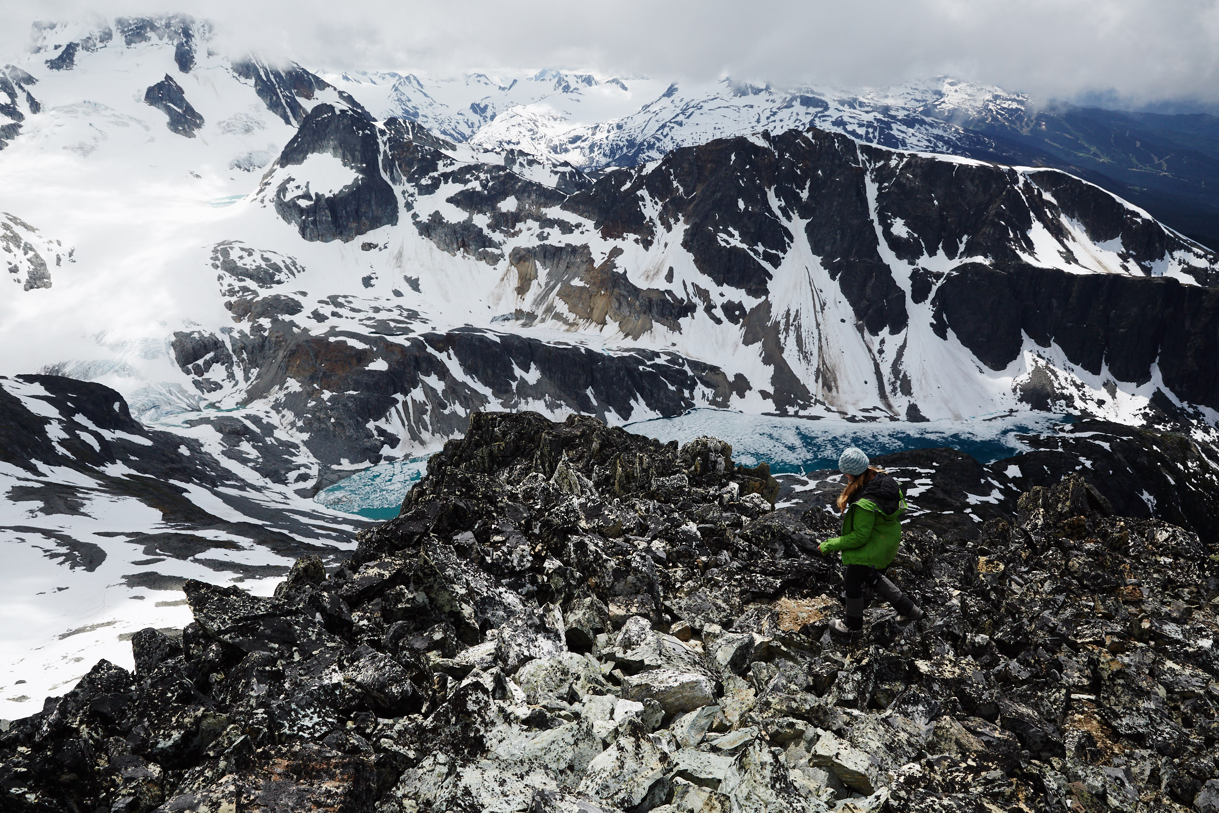
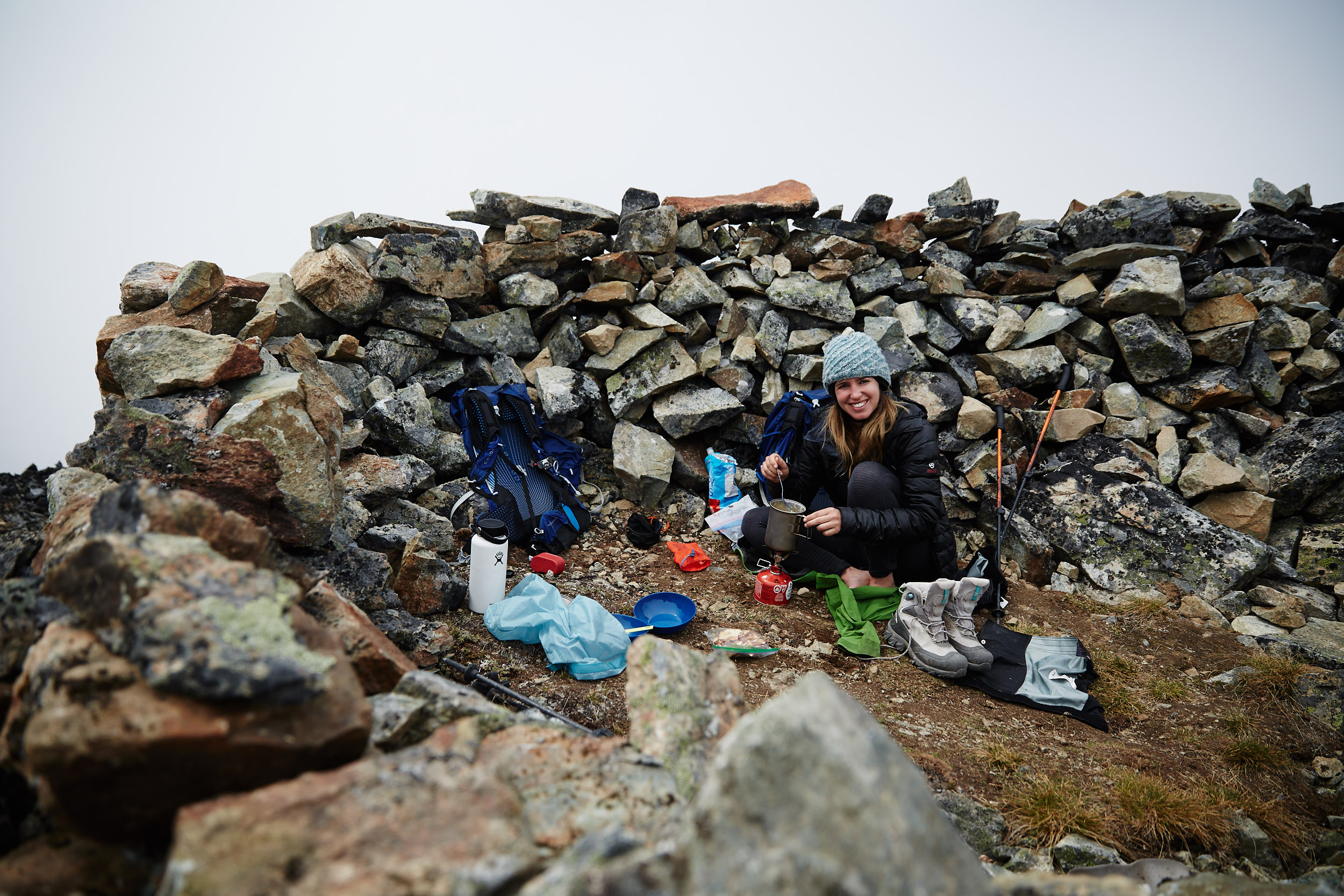
Thankfully once we reached the summit, someone had built a wind block that we were able to cook lunch and relax in.
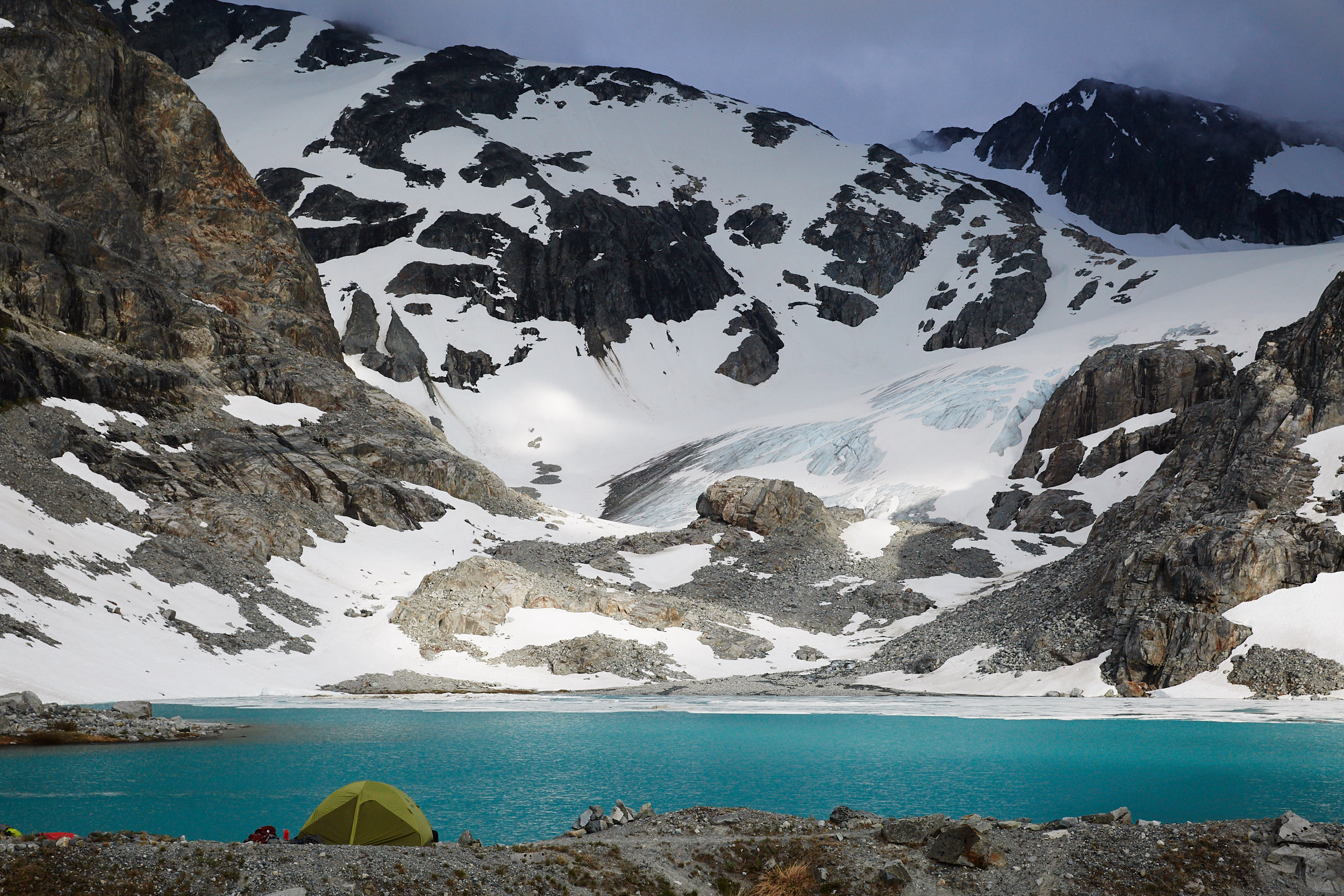
After dinner we decided to head to the back of the lake and check out the toe of the glacier.
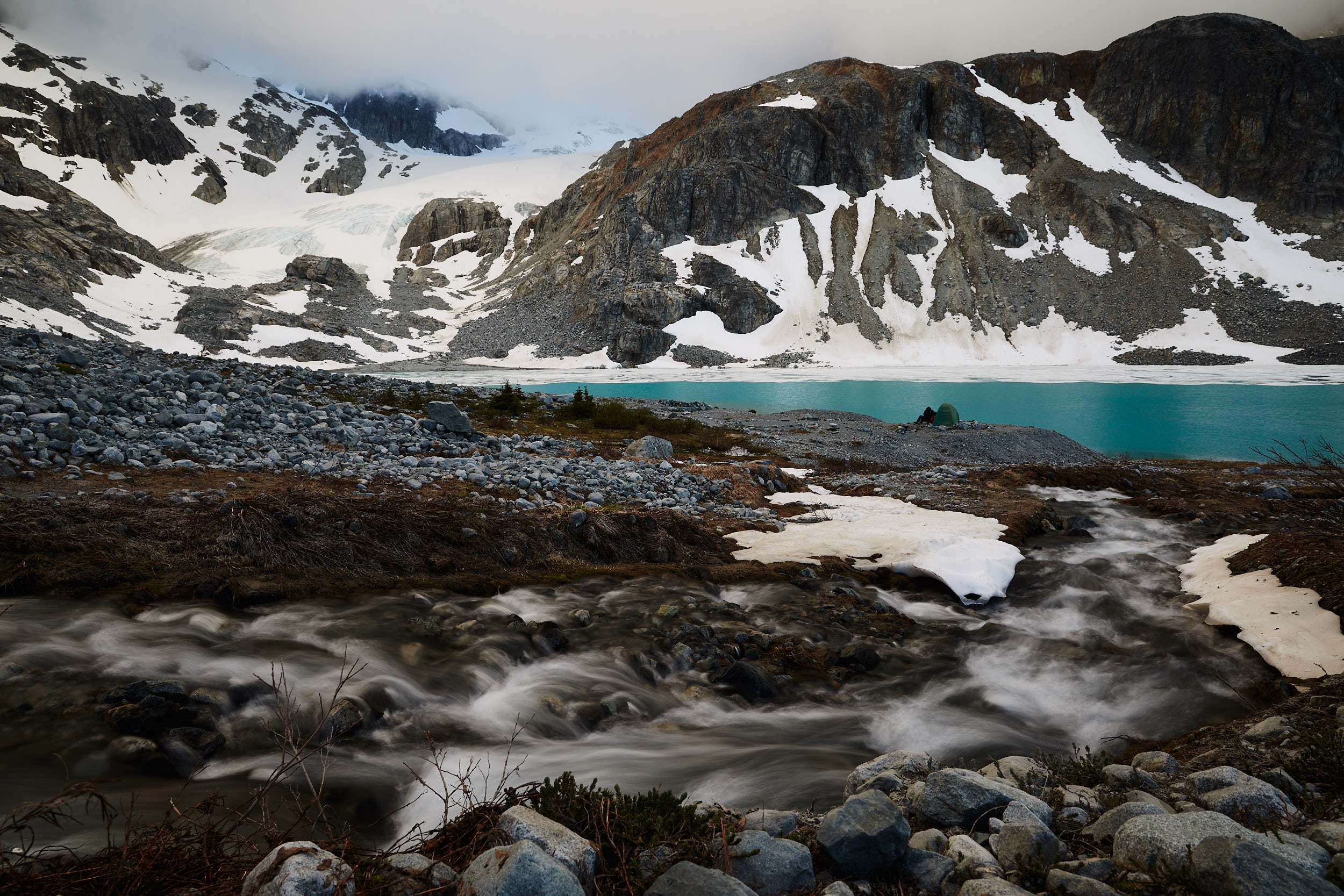
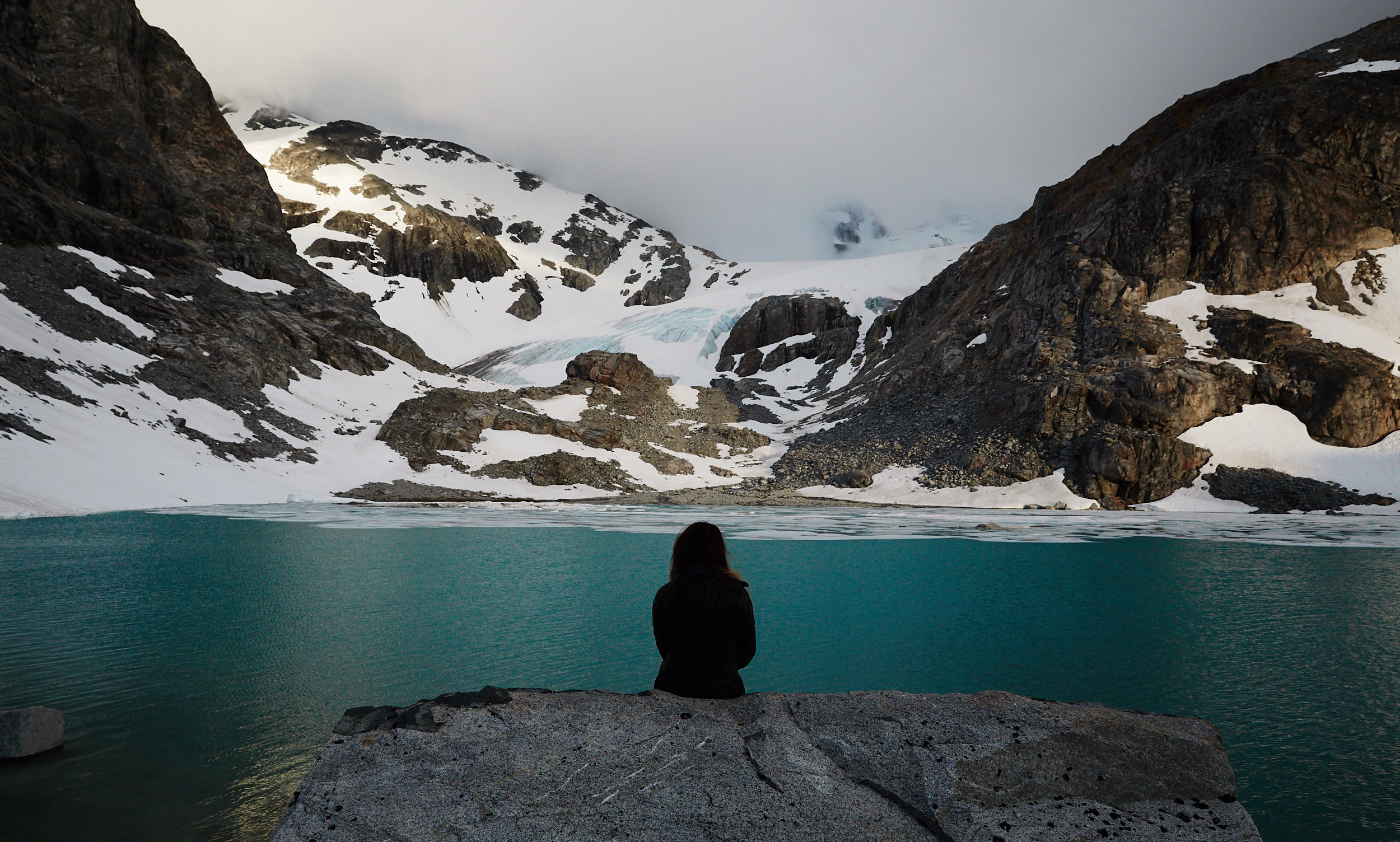
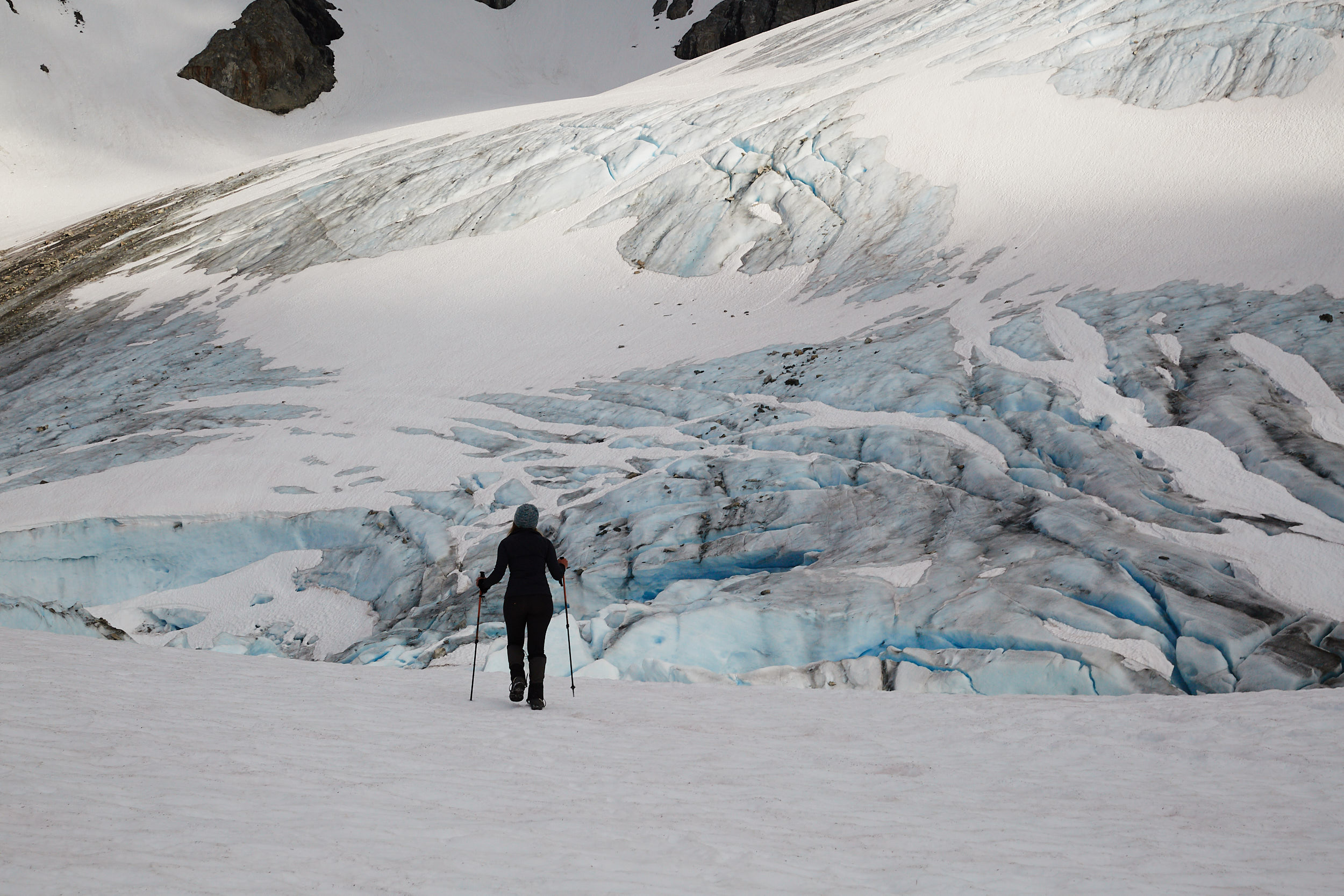
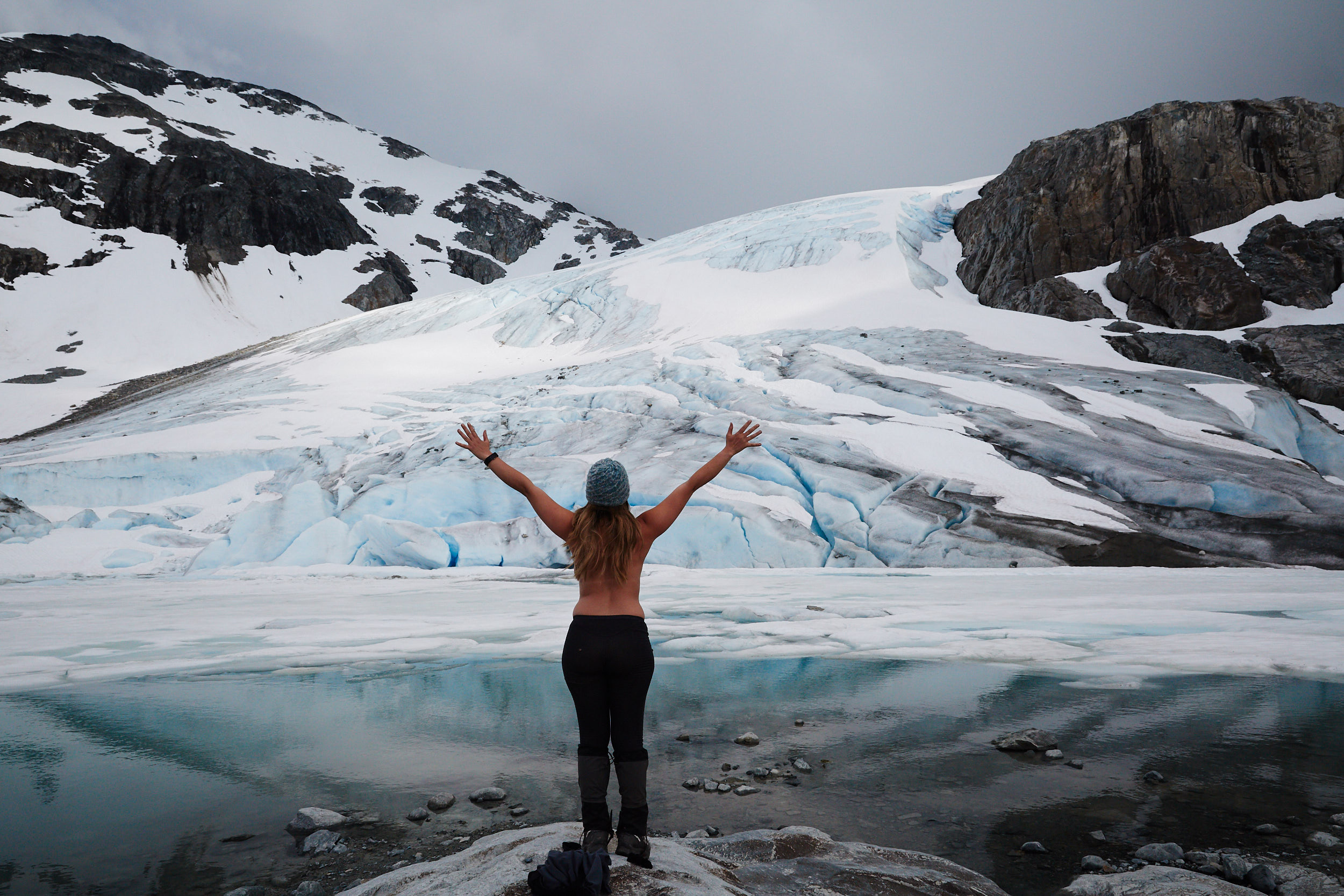
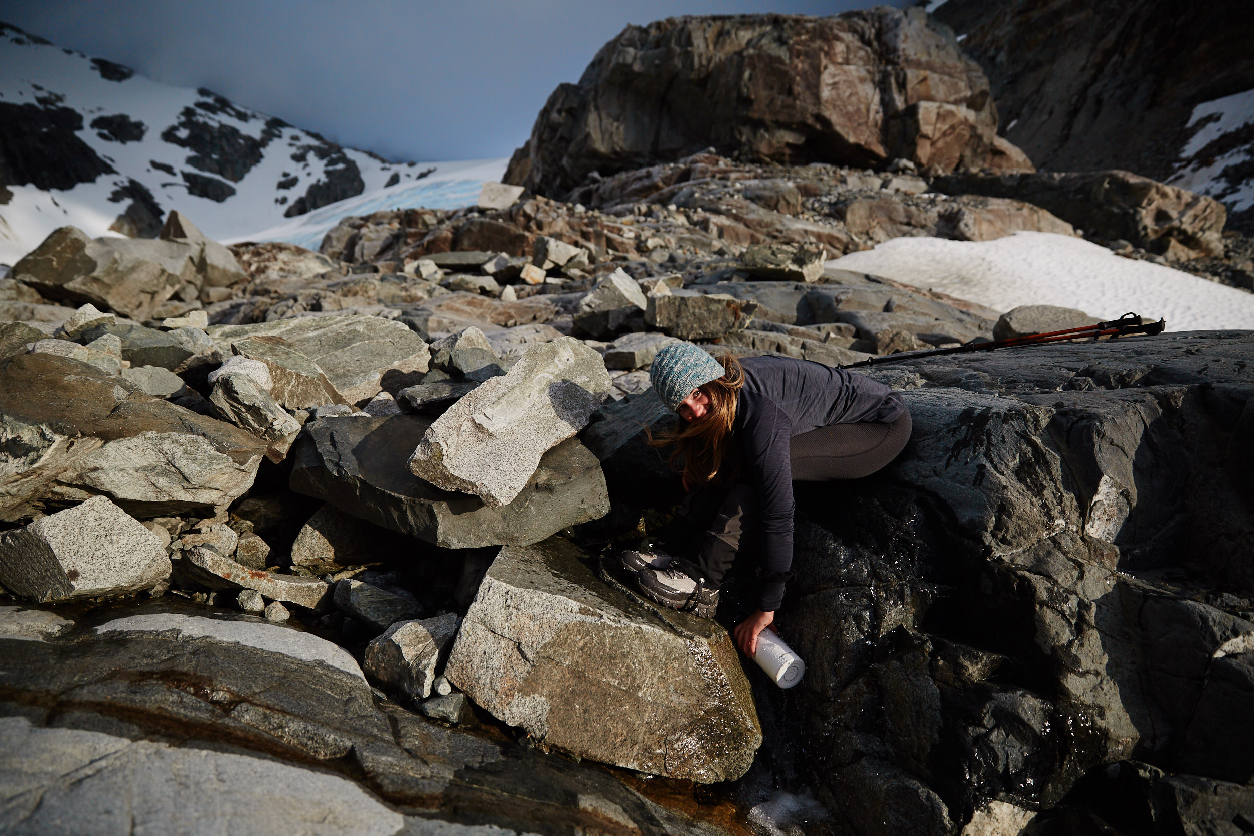
Fresh glacier water right from the glacier!
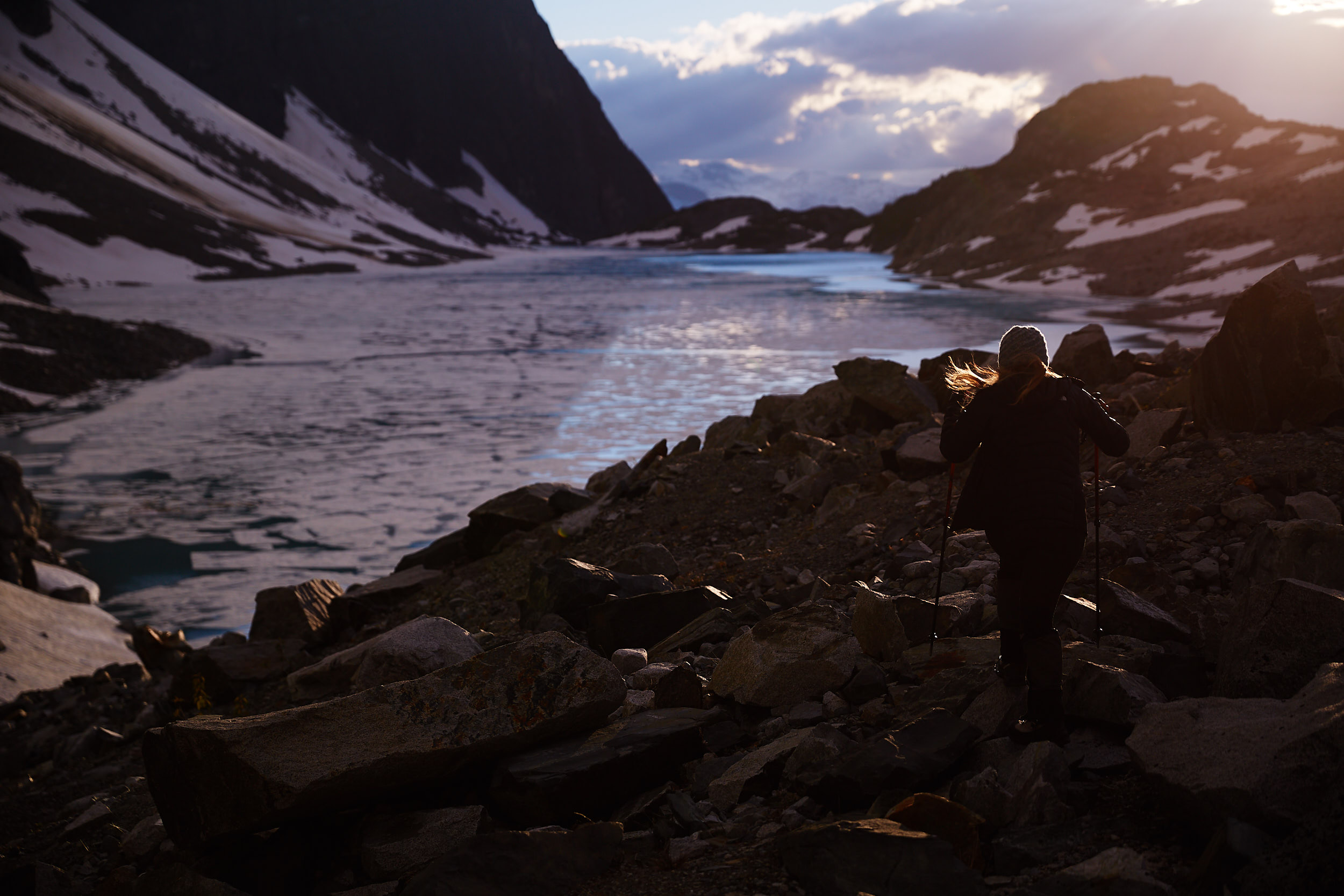
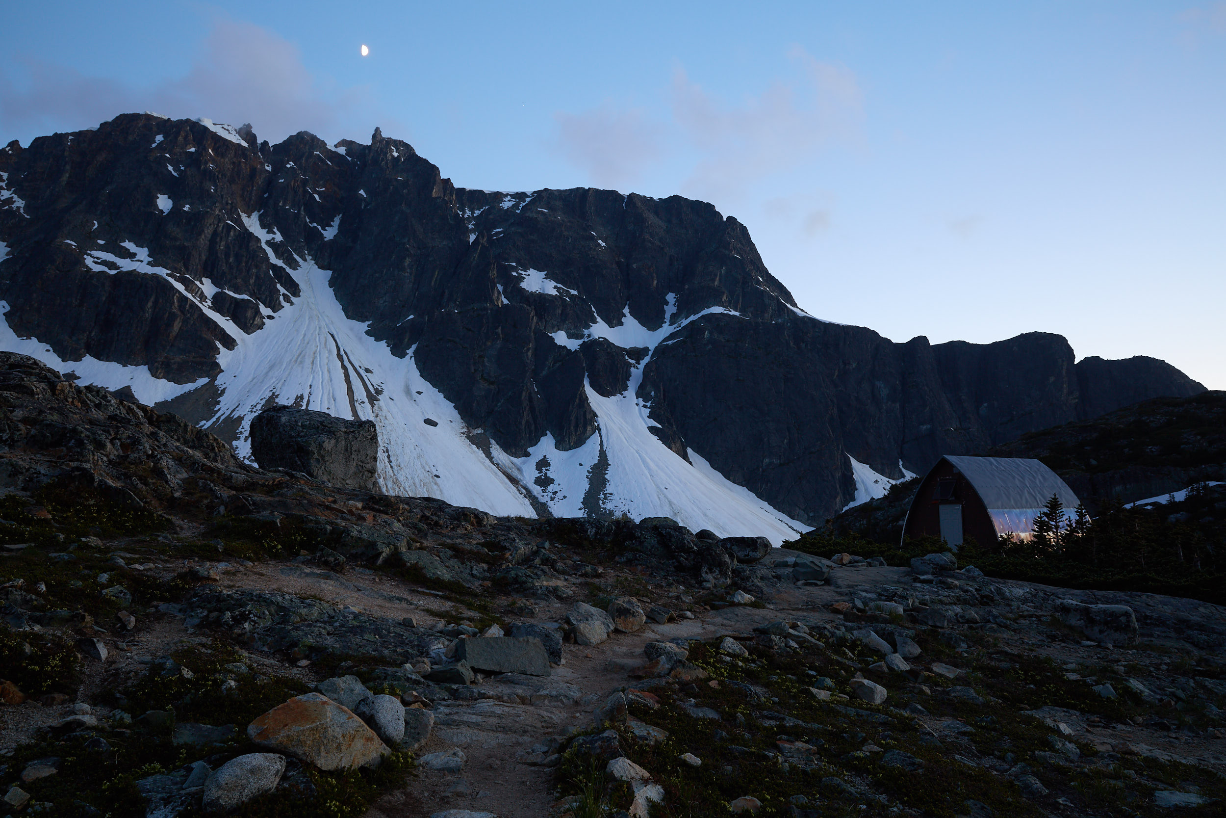
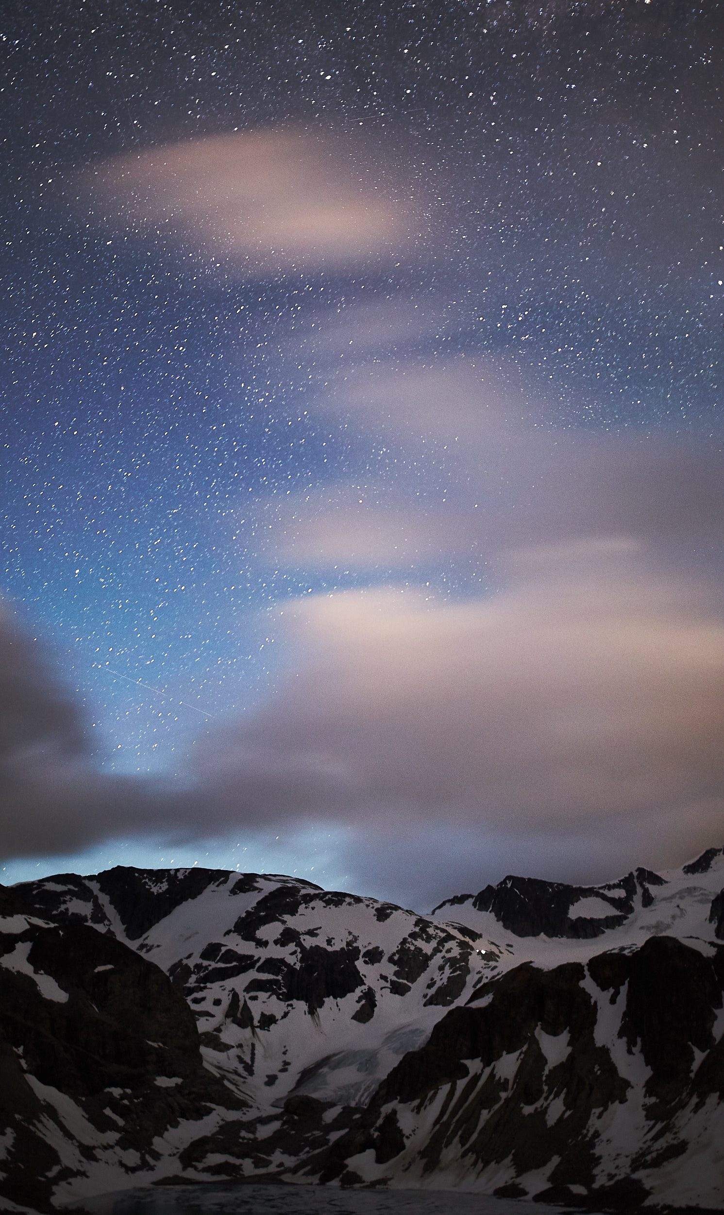
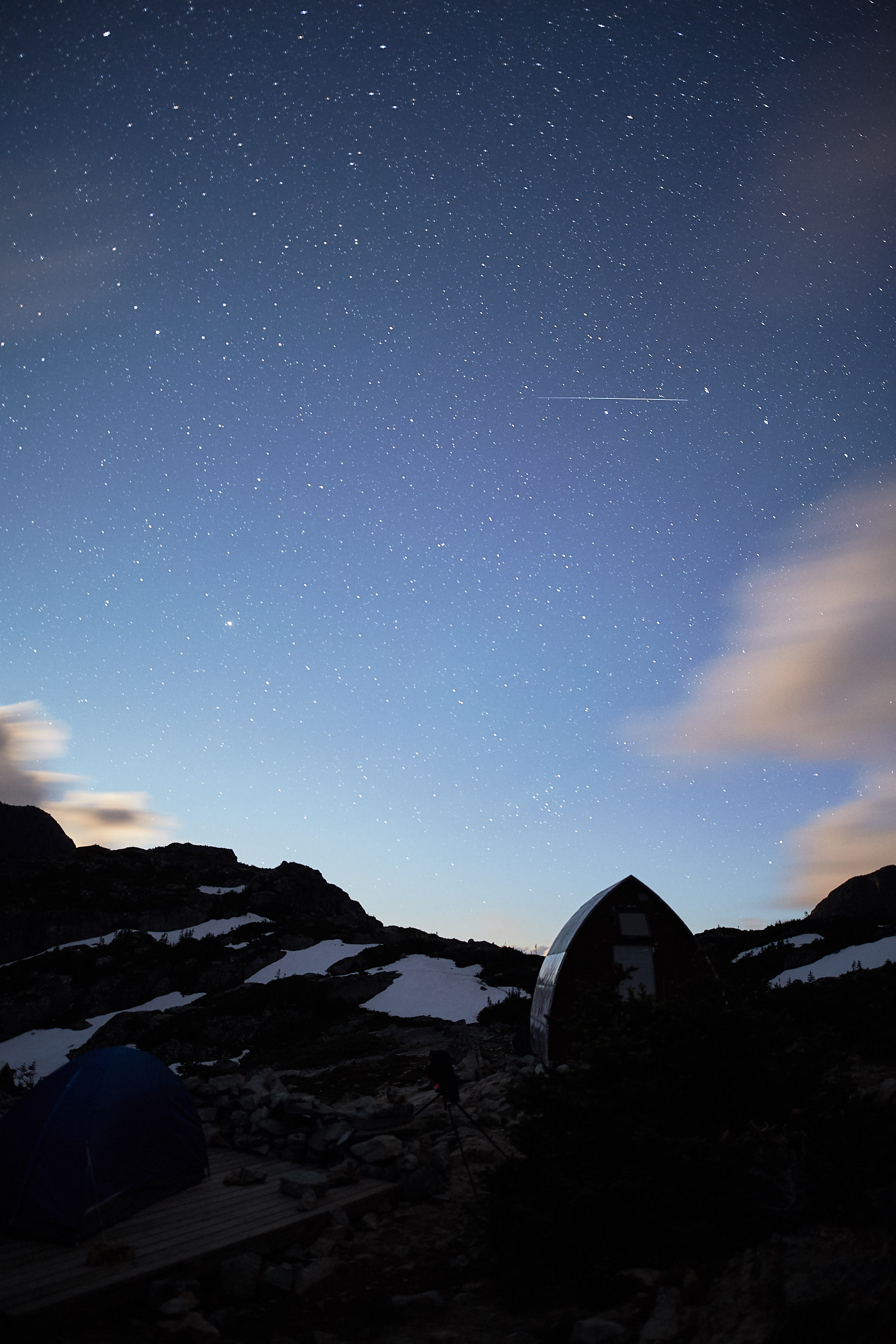
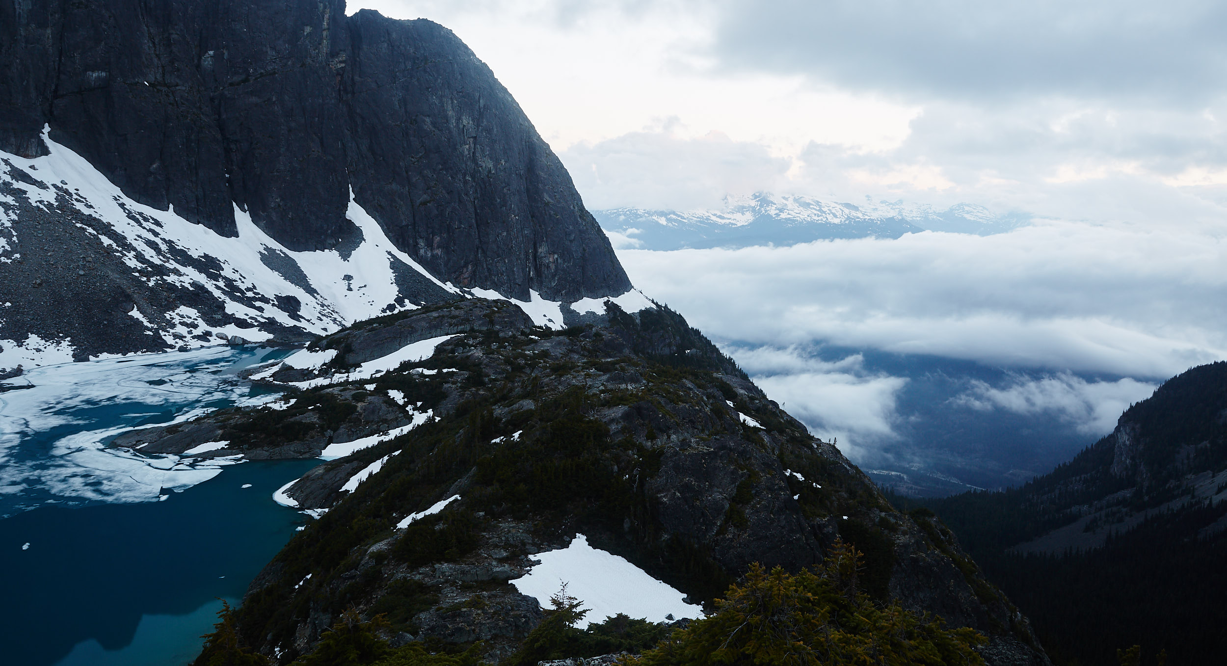
The next morning we woke up early, packed up camp and began the hike down.
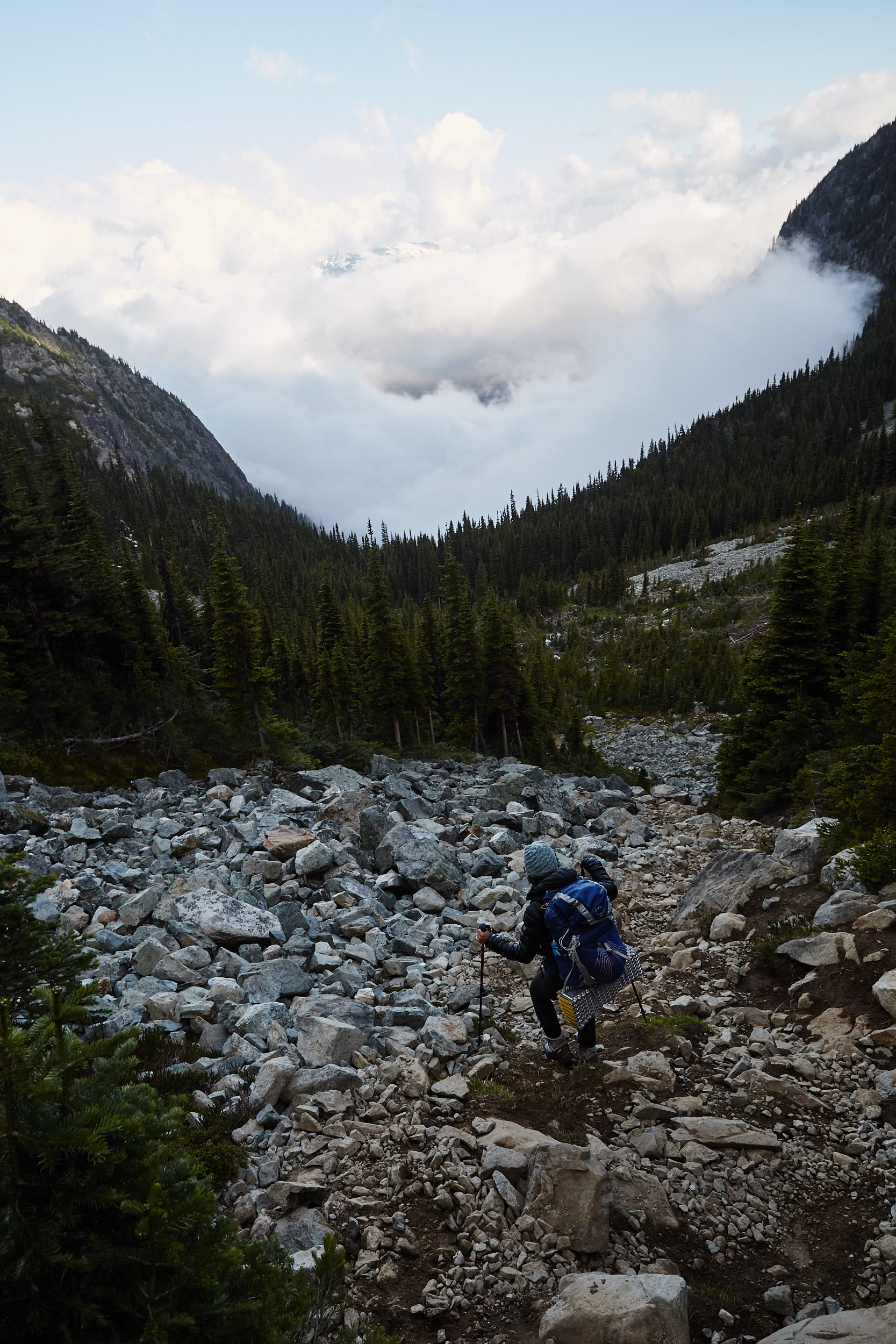
It was fairly slow going and hard on the knees as it was so steep.
