Lake Lovely Water and Iota Peak

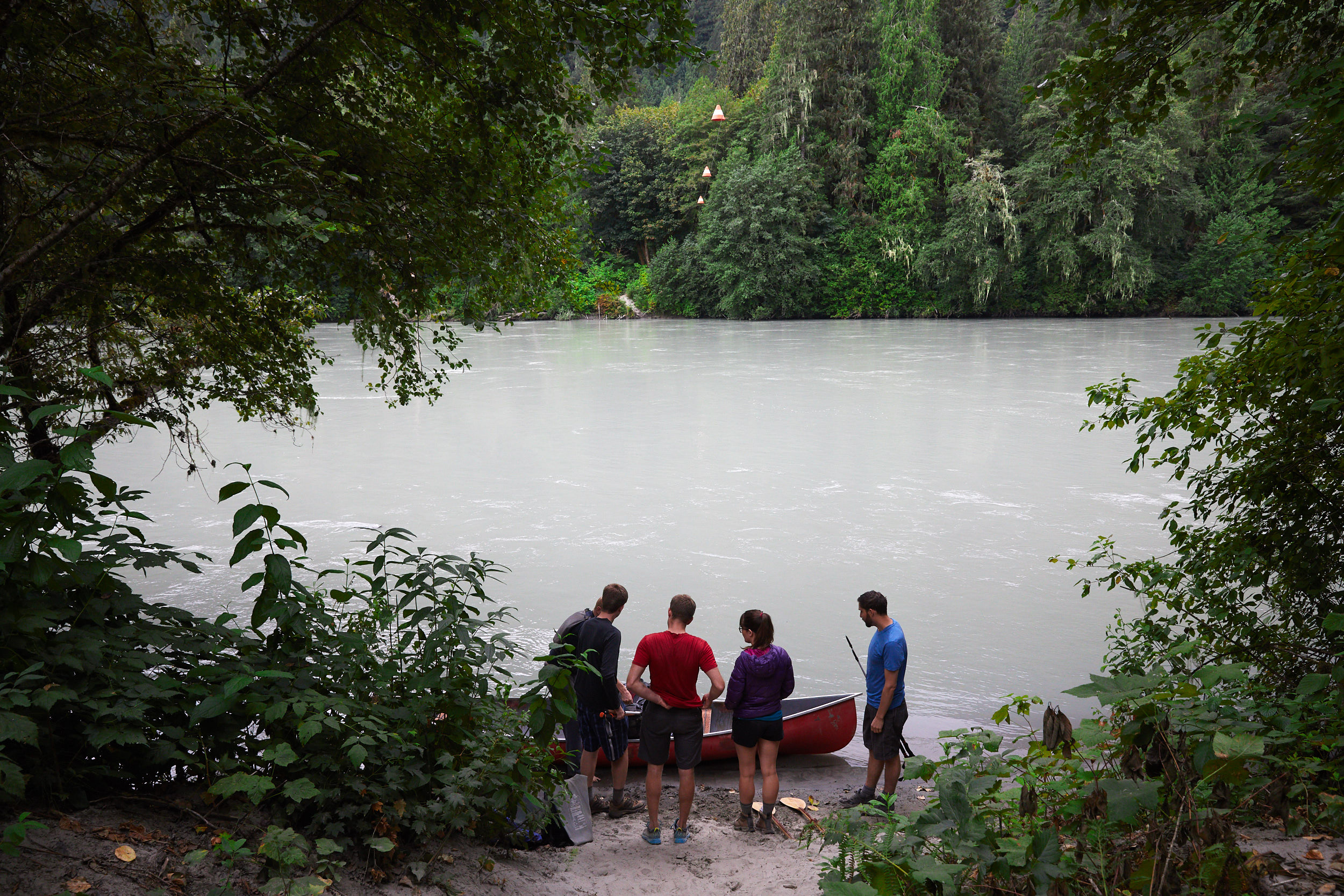
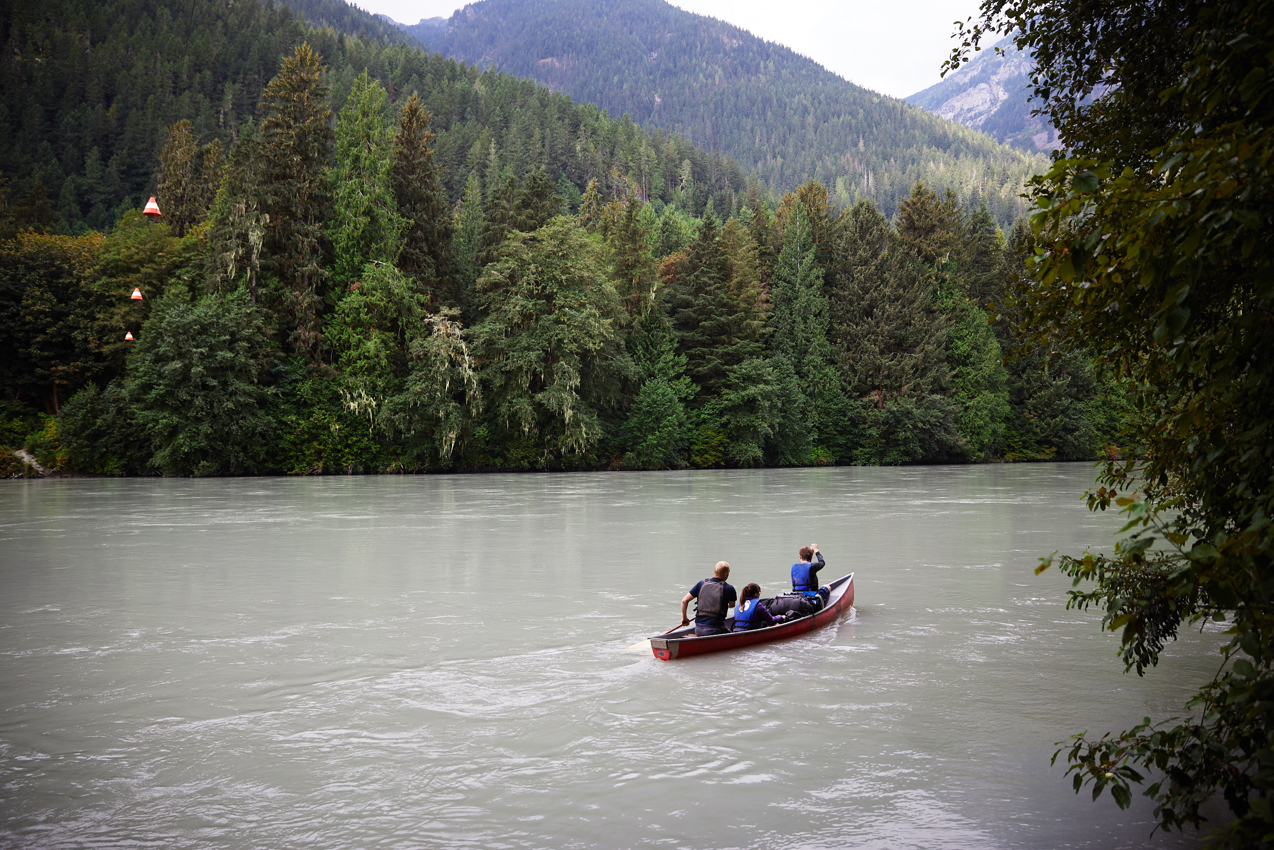
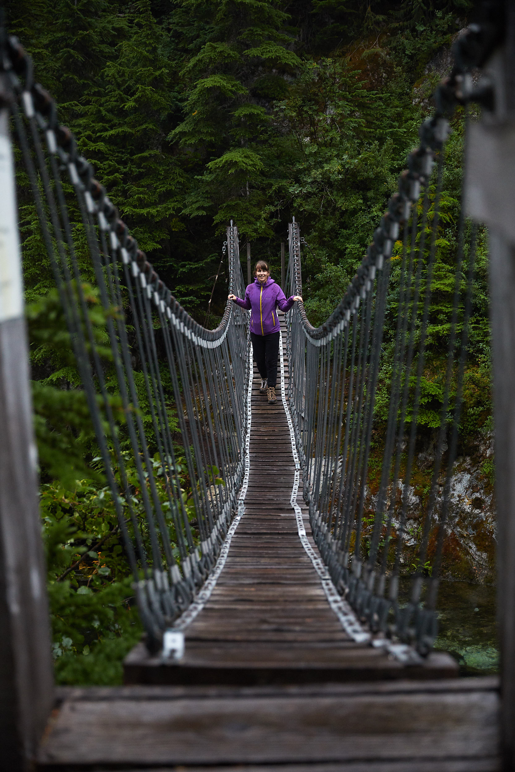
To access the Lake Lovely Water trailhead, you must cross the Squamish River. We hired a boat to take us across, which only took 15 min for the two trips.
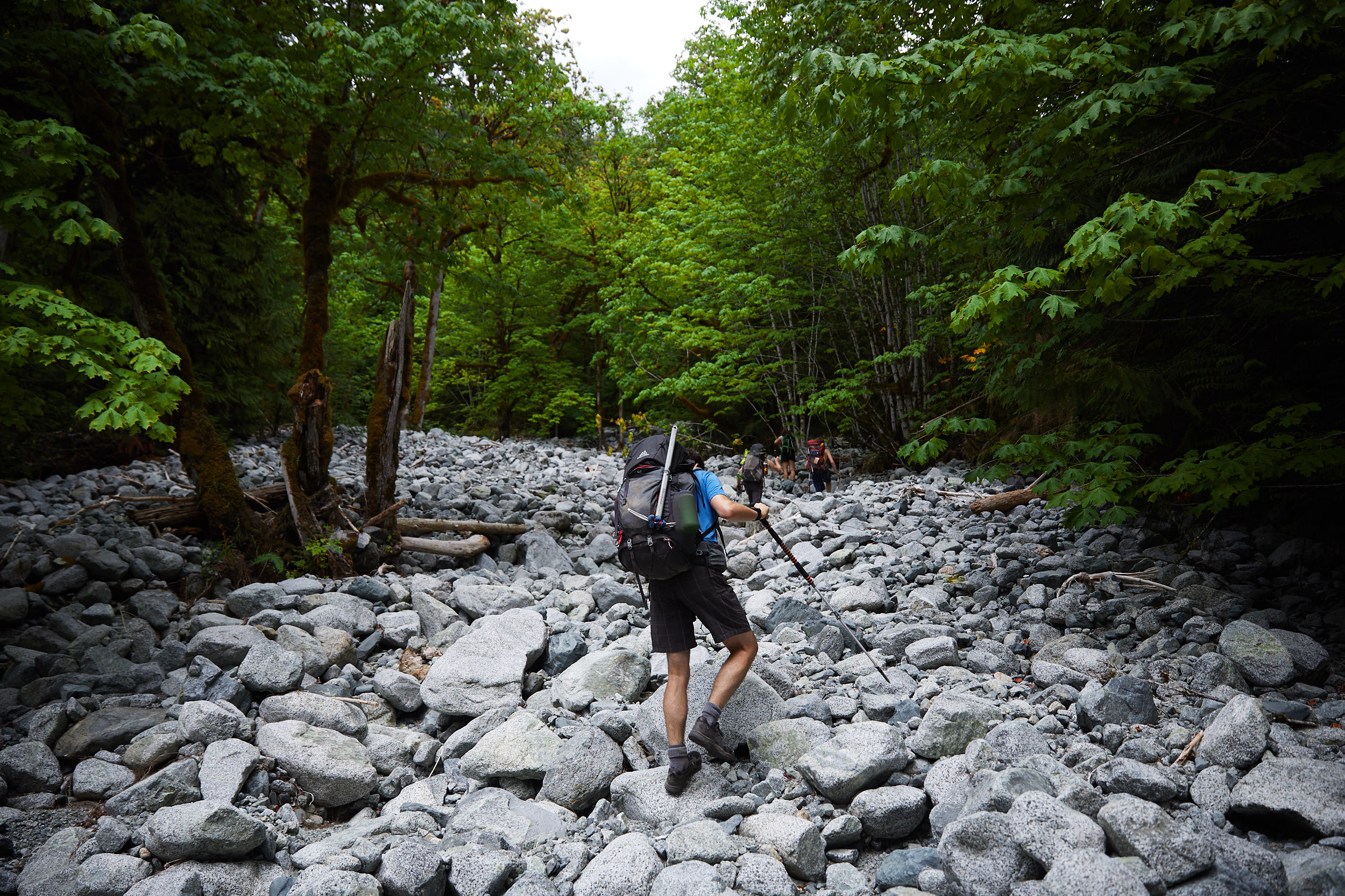
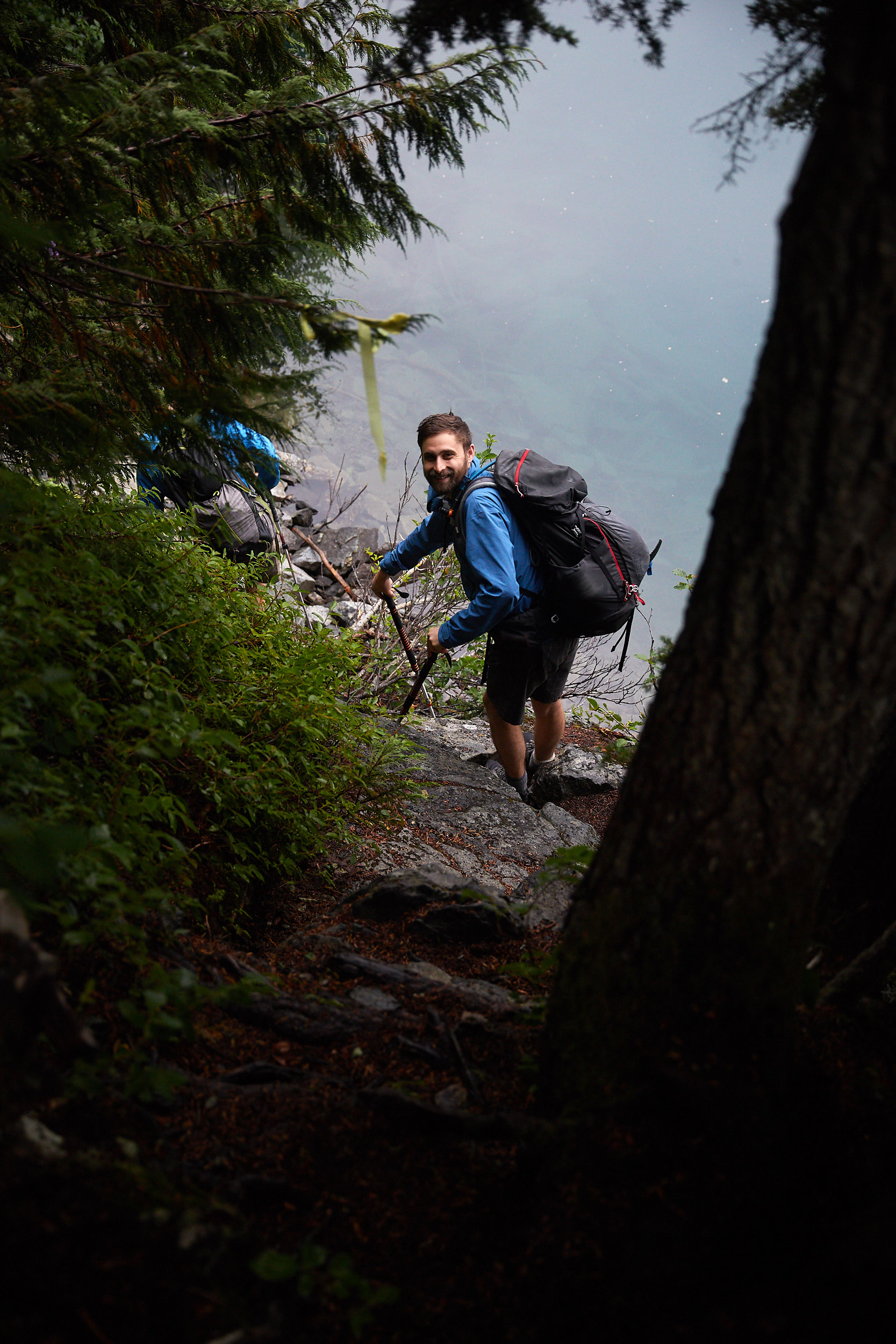
Once on the other side you follow a flagged/marked trail. It’s easy to miss the occasional flagging though, so it’s a good idea to download a GPS track of the trail to avoid getting lost.
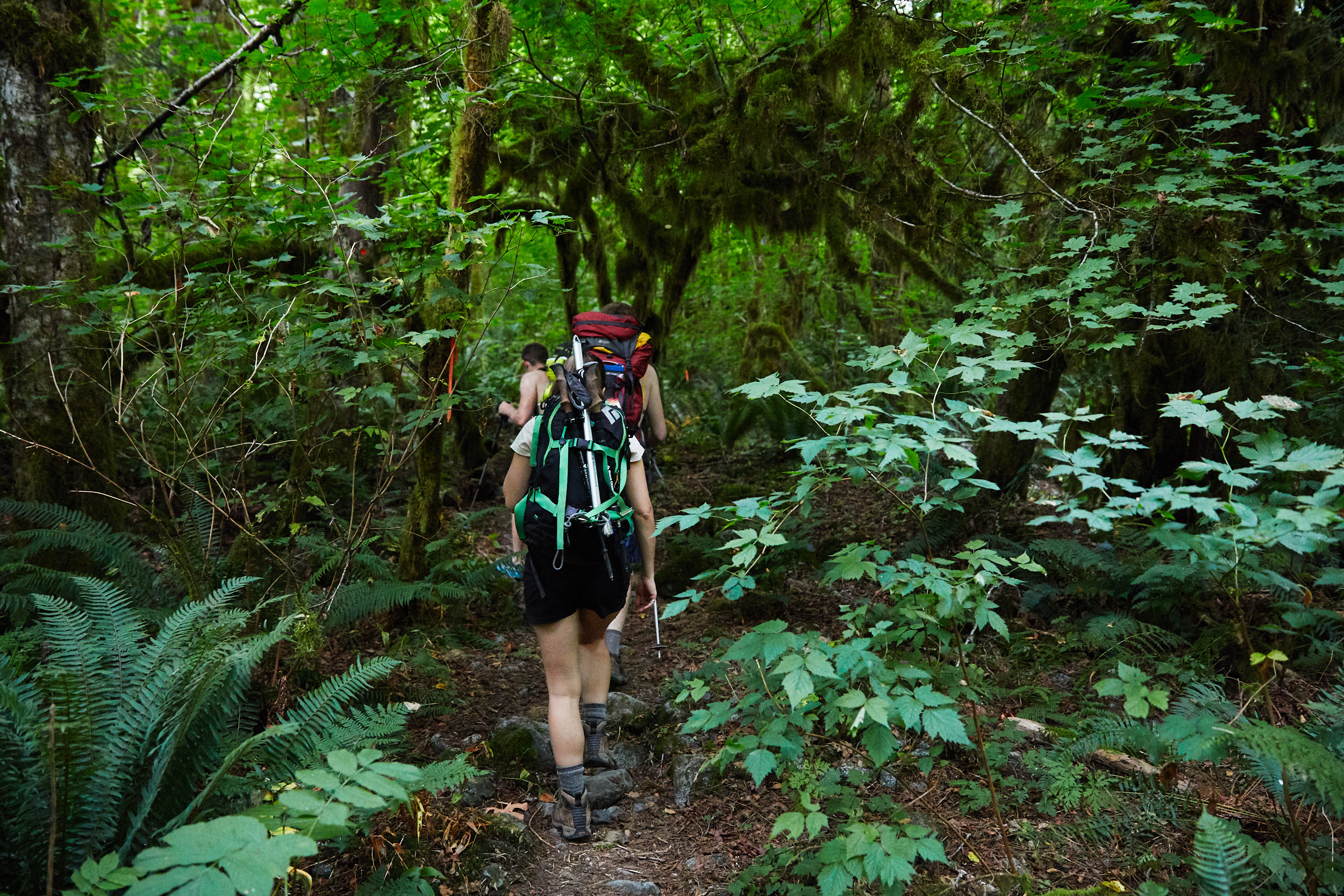
Once on the other side you follow a flagged/marked trail. It’s easy to miss the occasional flagging though, so it’s a good idea to download a GPS track of the trail to avoid getting lost.

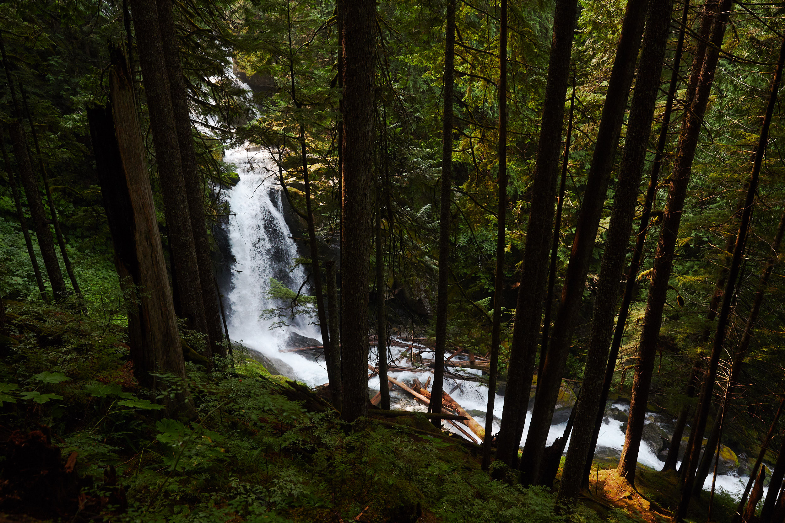
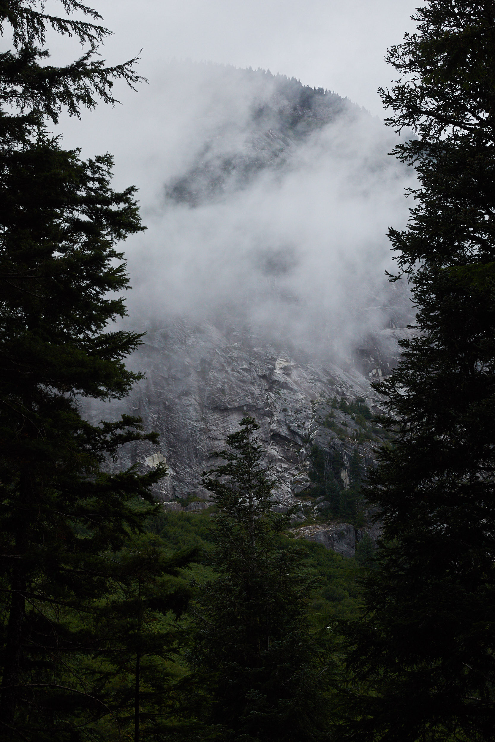
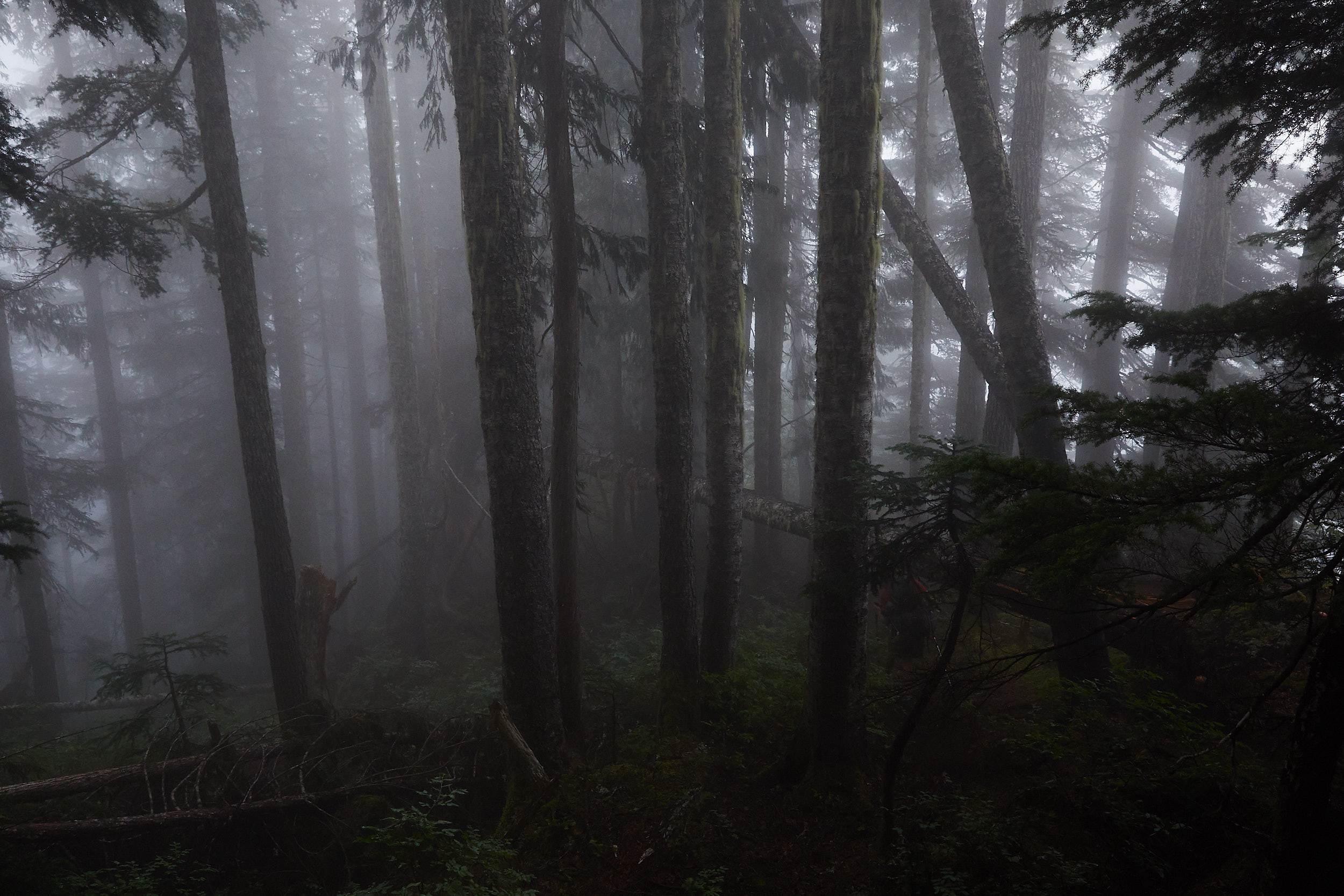
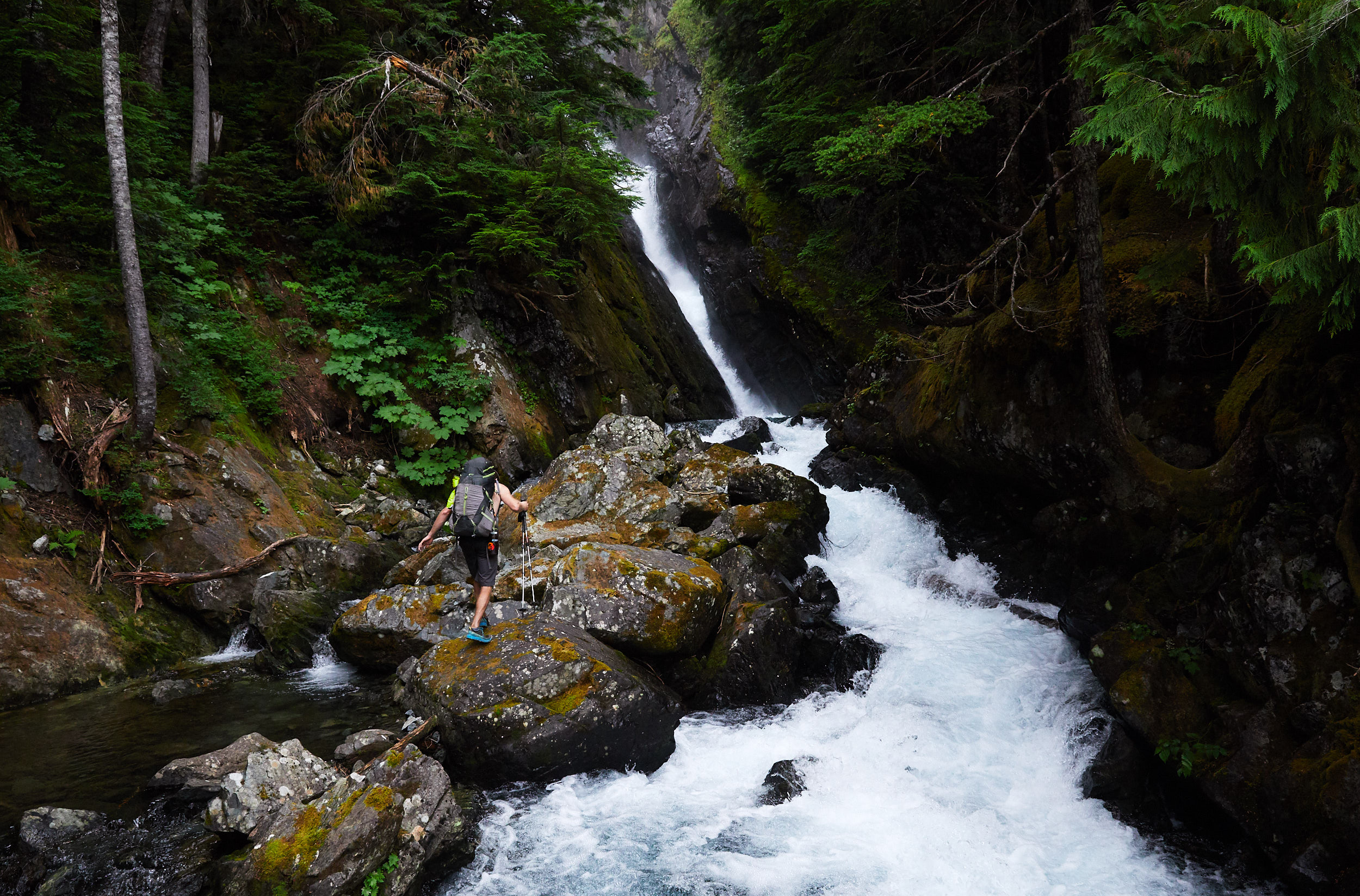
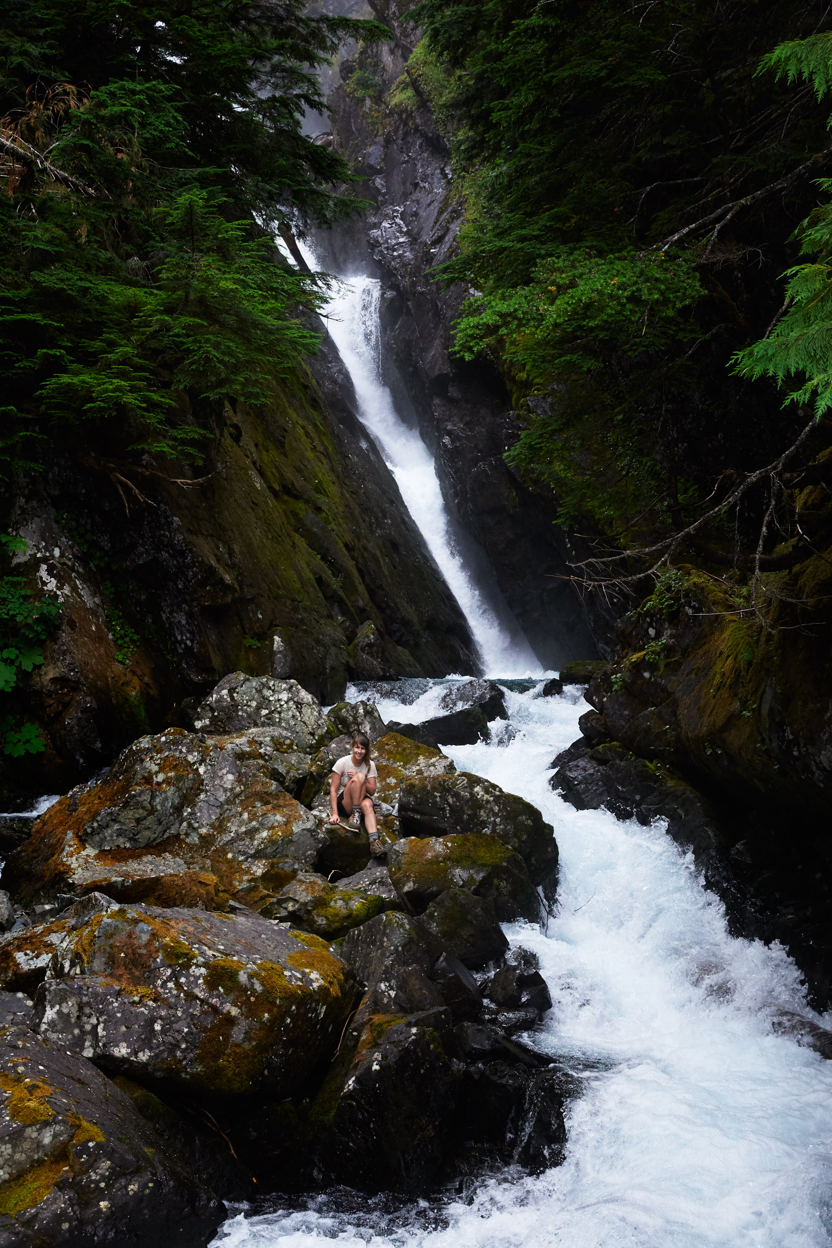
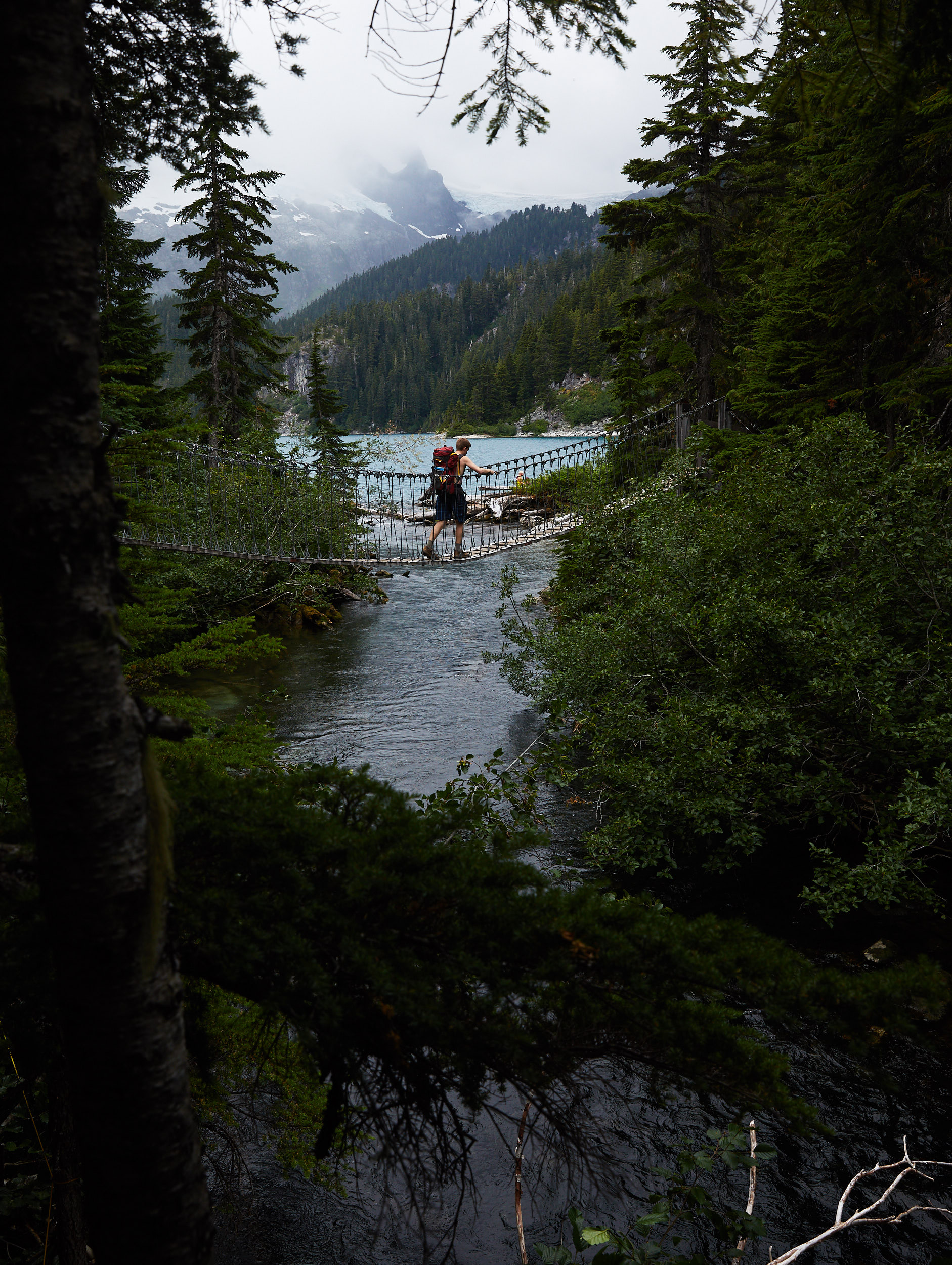
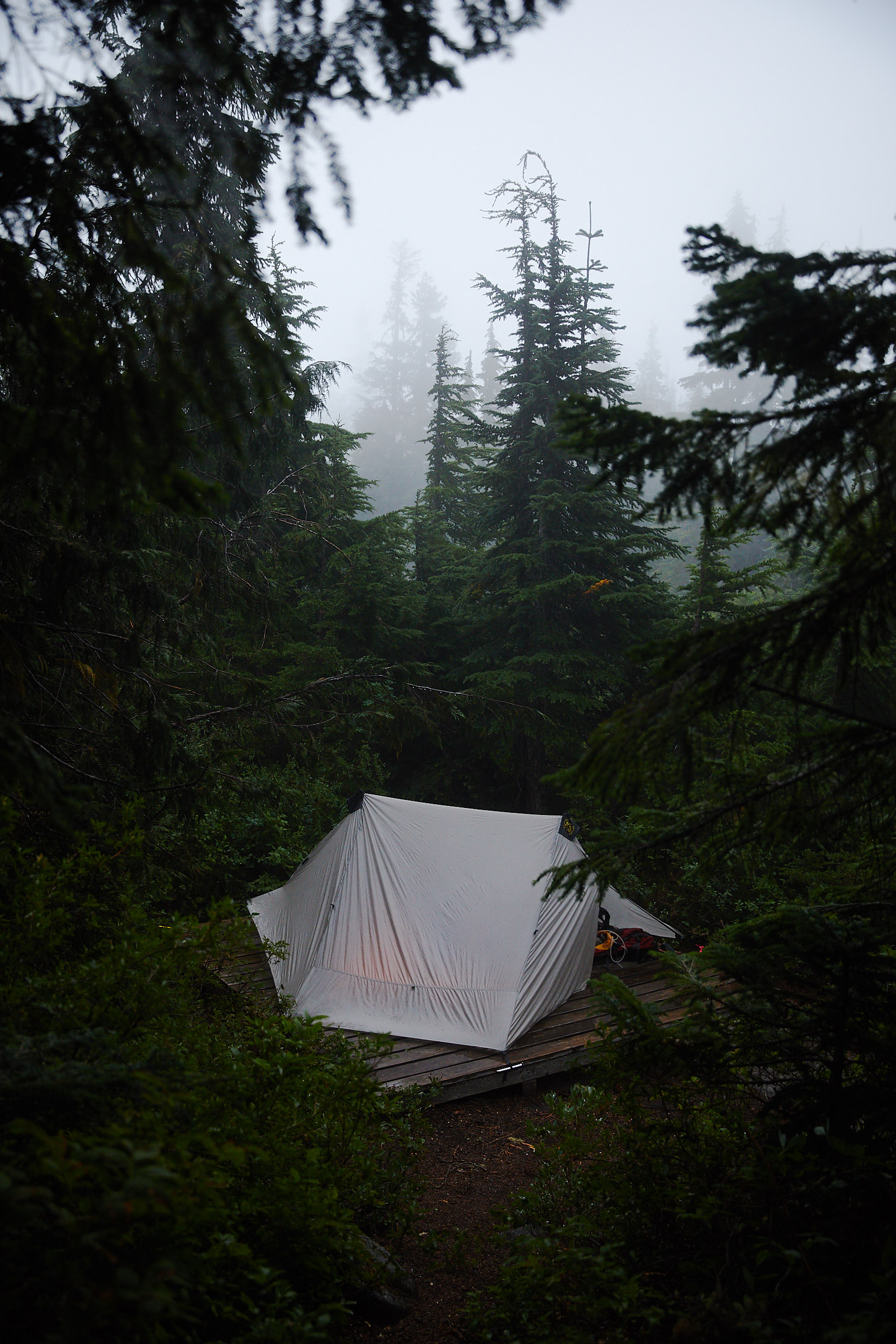
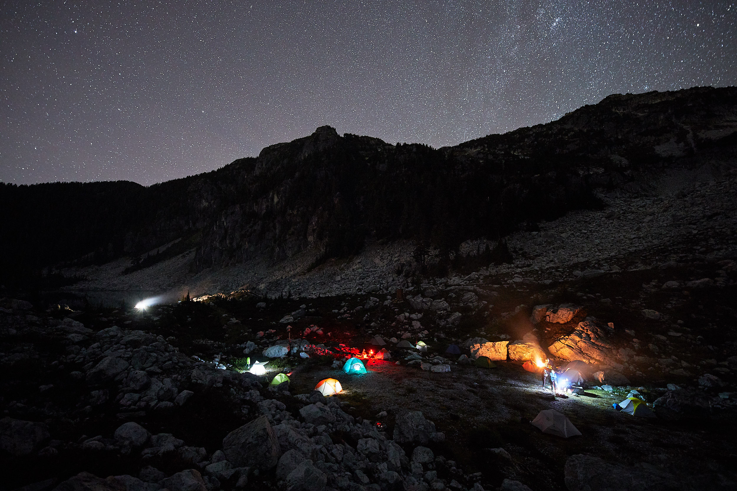
We managed to get camp setup before it got pretty socked in and the rain started.

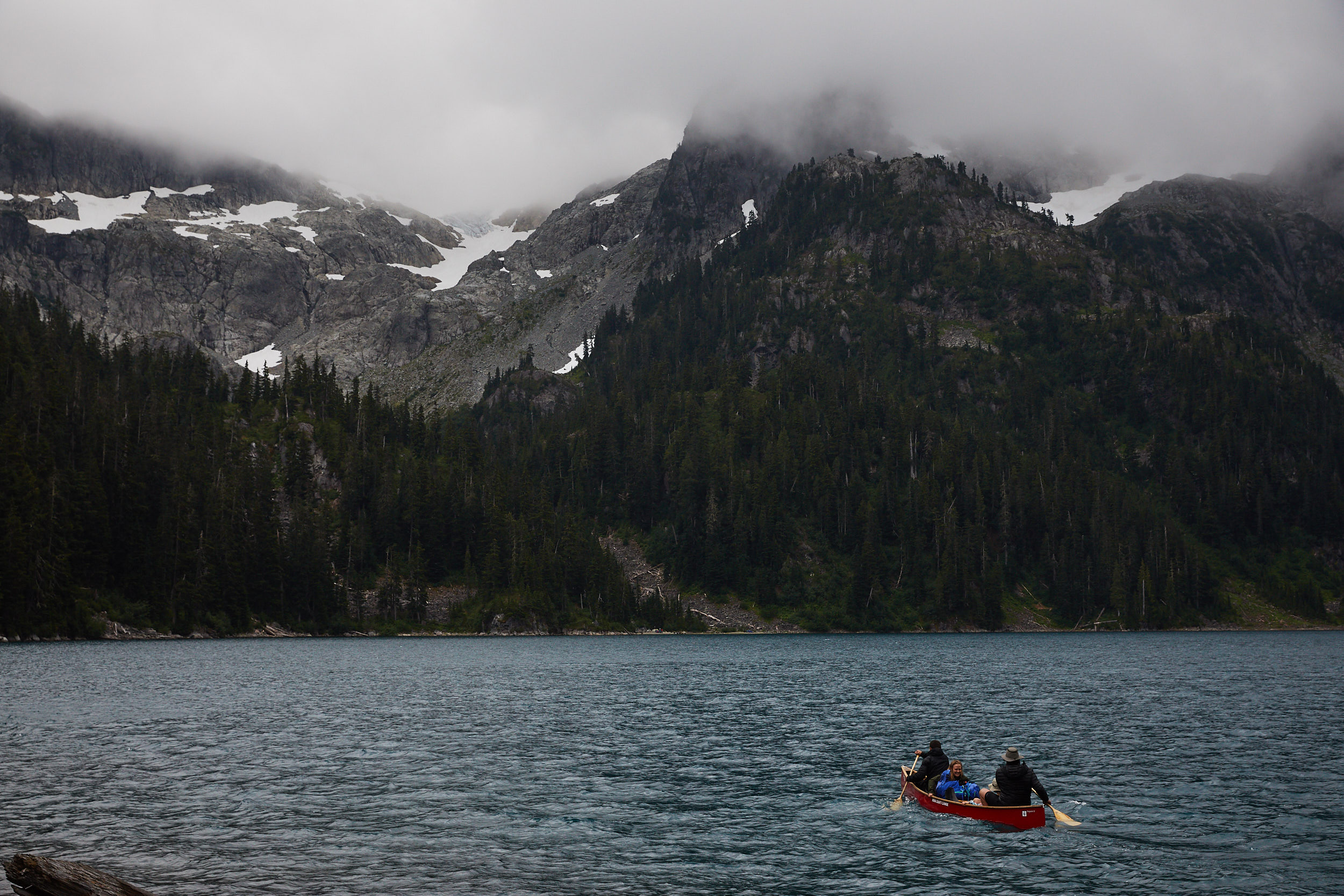
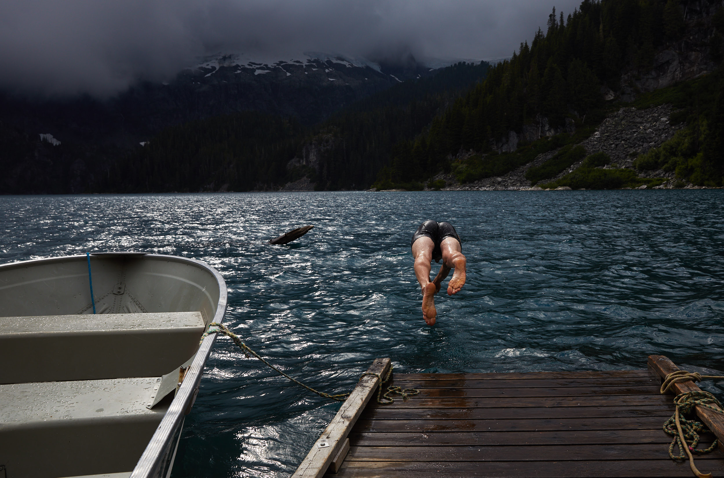
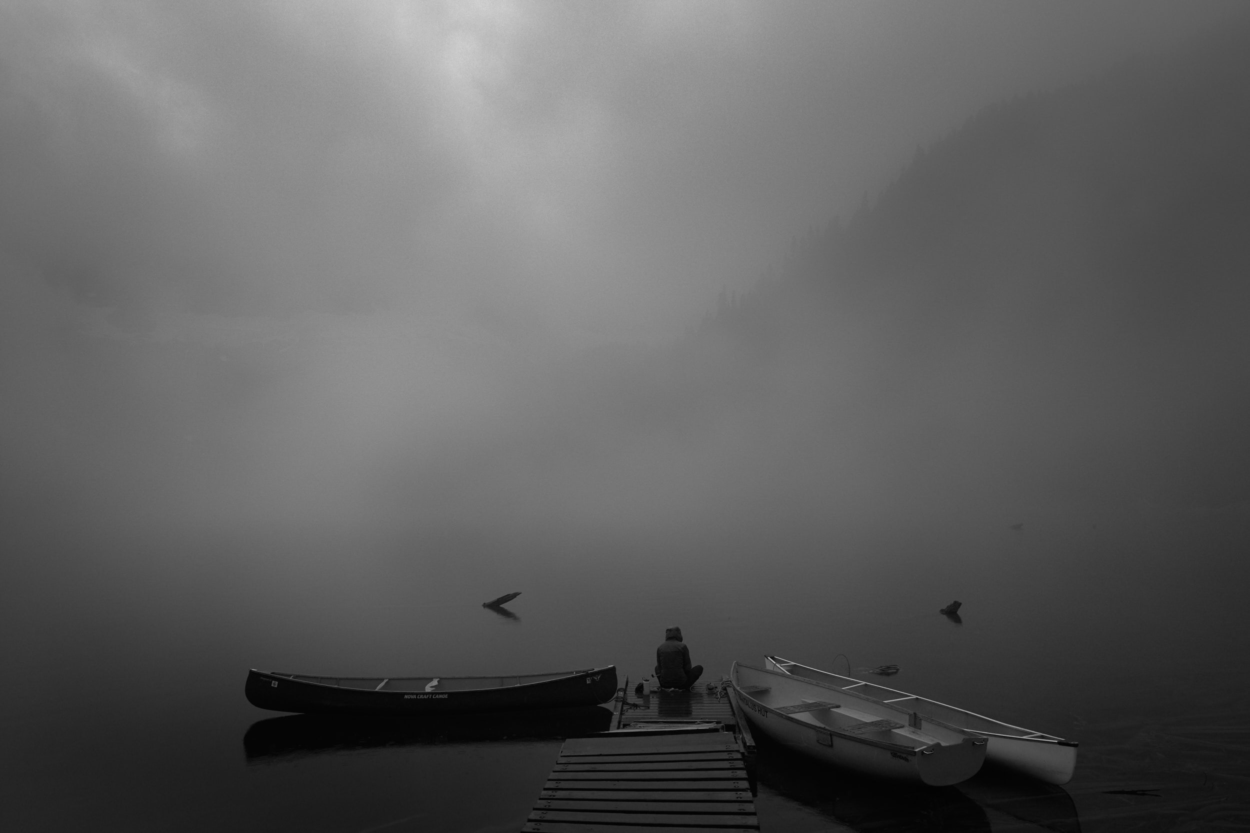
There are a few boats provided for people staying at the ACC hut.
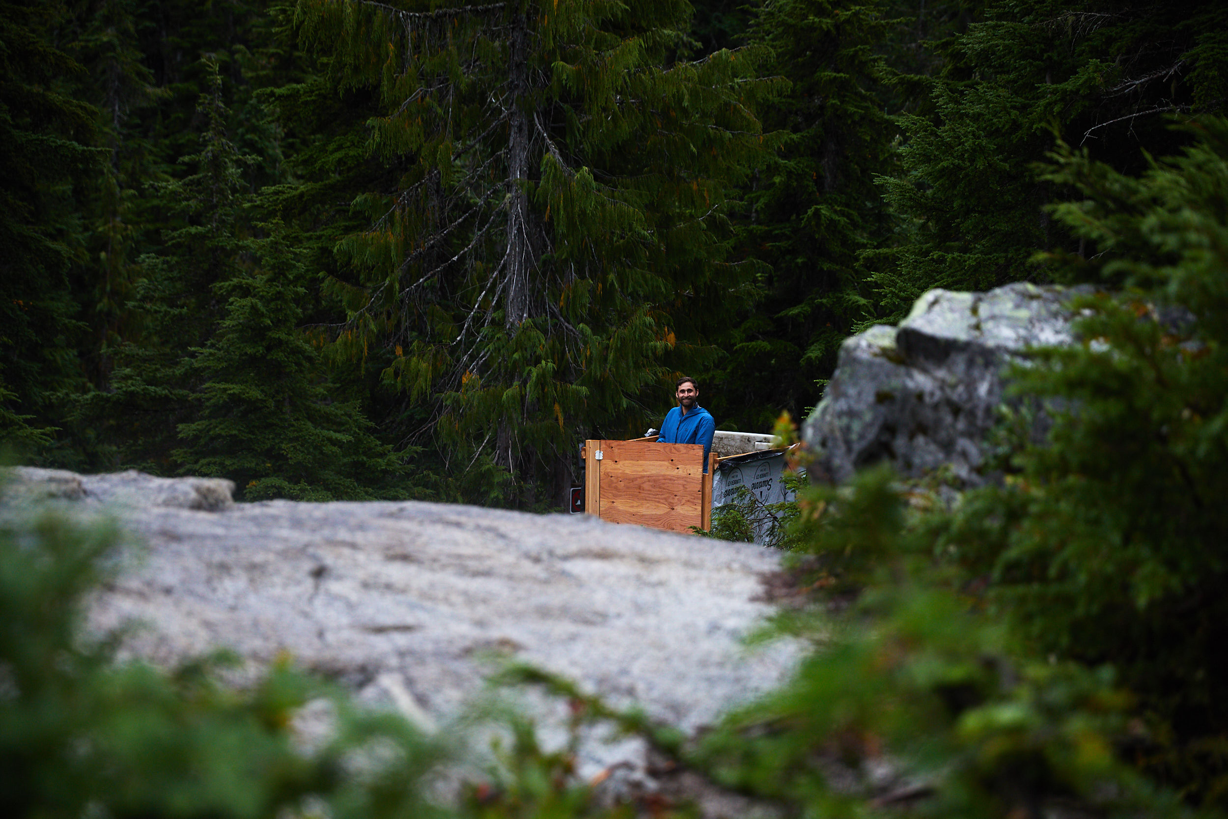
Due to renovations of the surrounding camp area, there was this temporary outhouse that only consisted of a few short walls. Obviously you must make eye contact at all times.
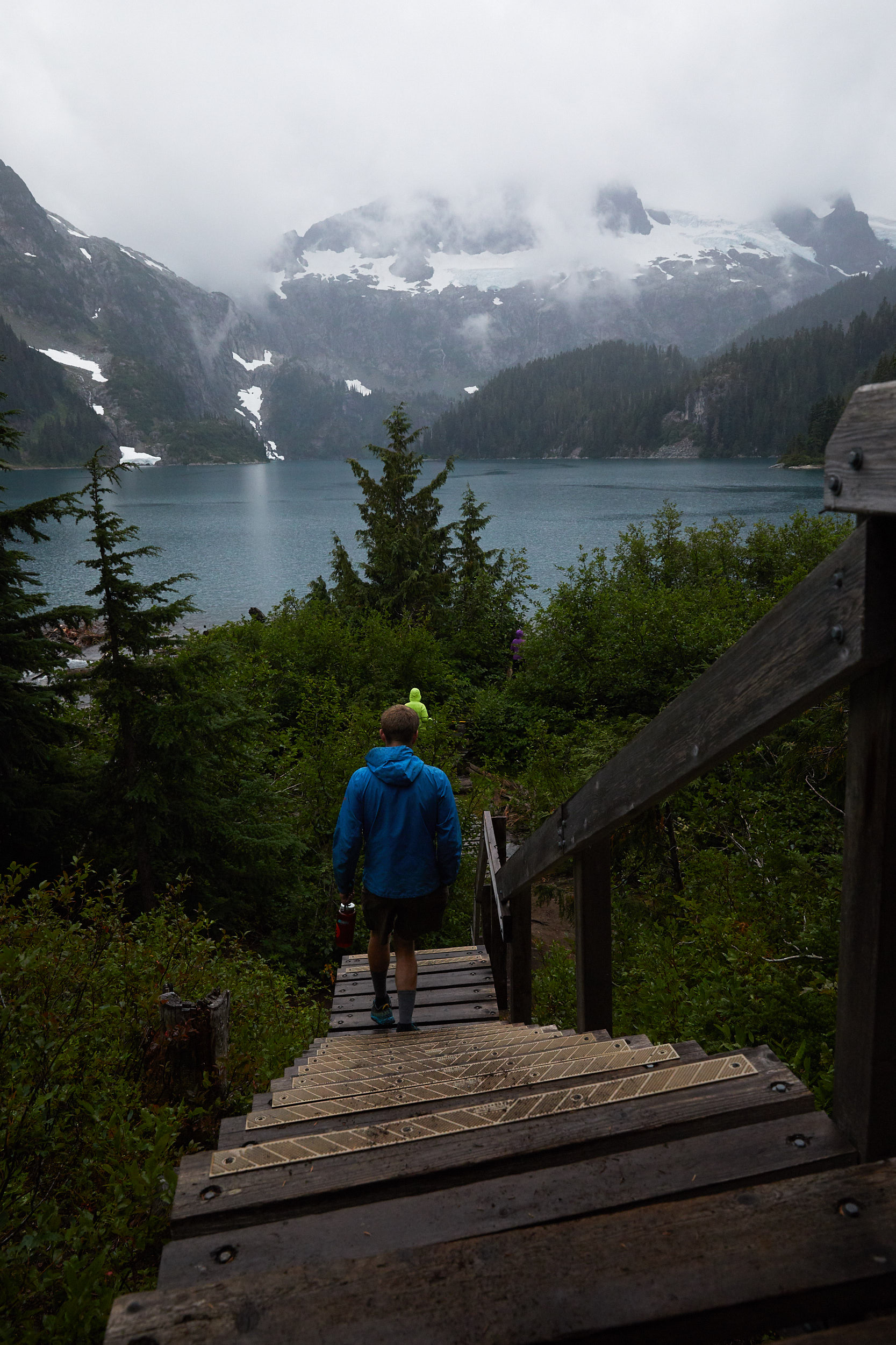
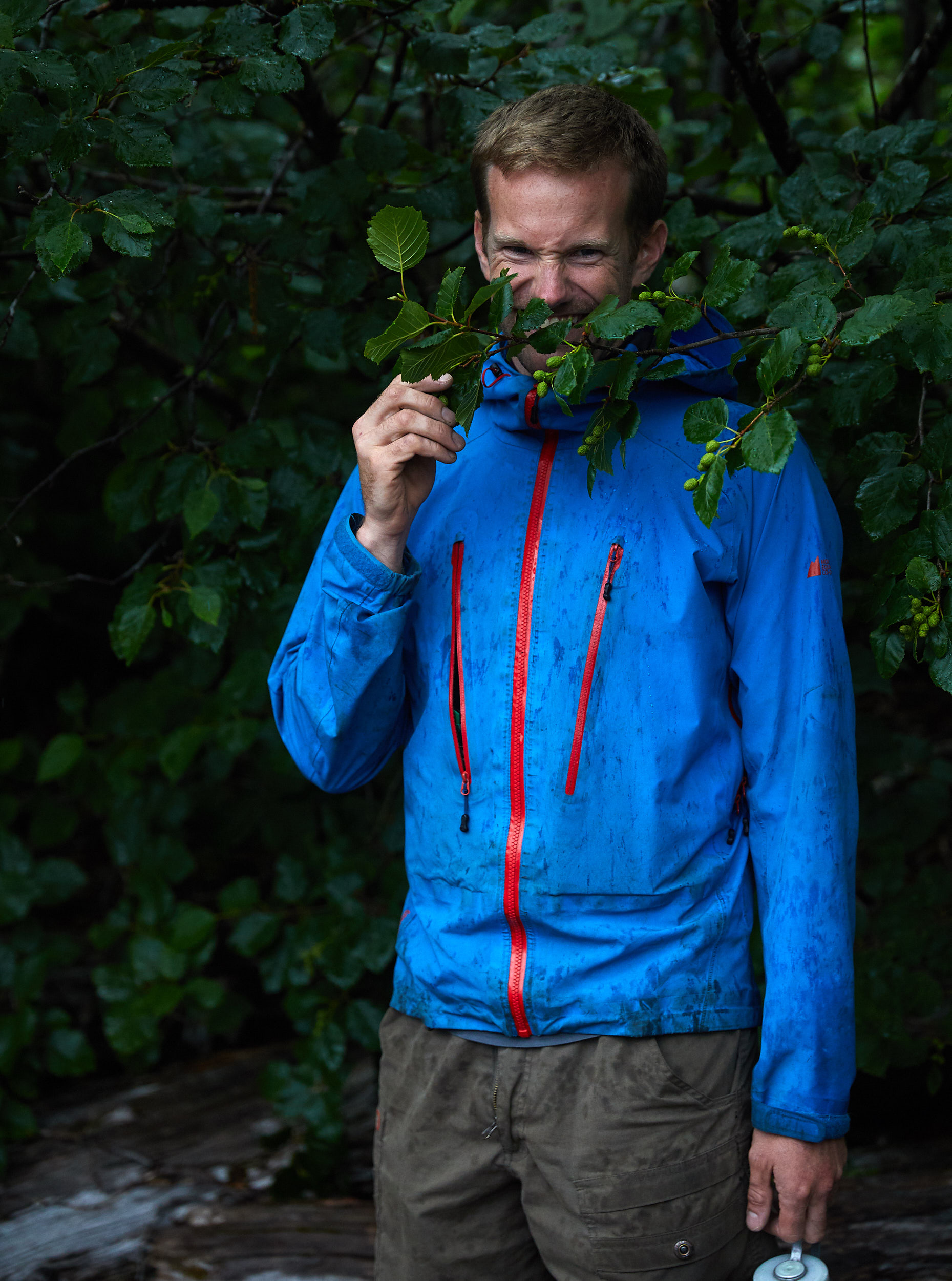
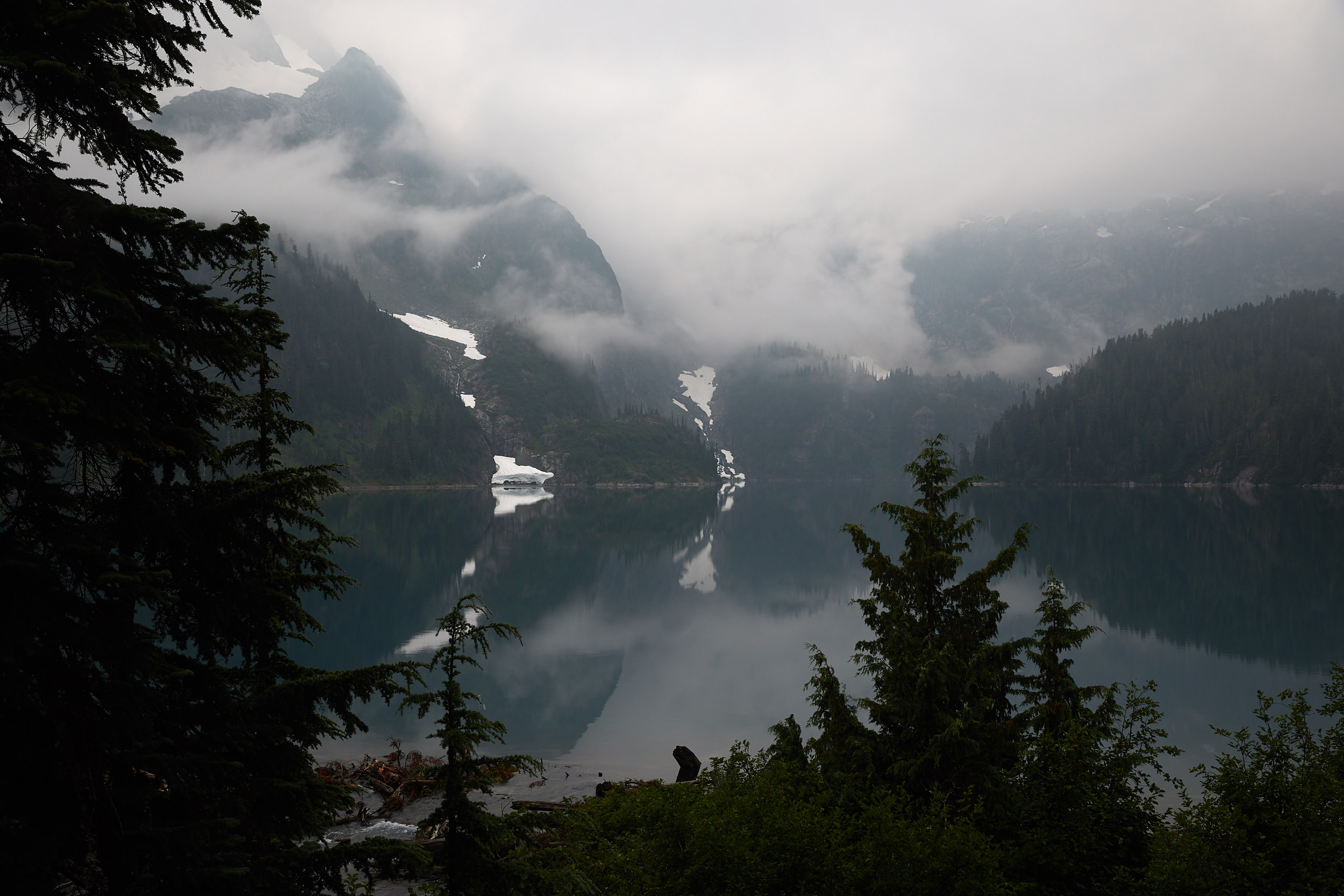
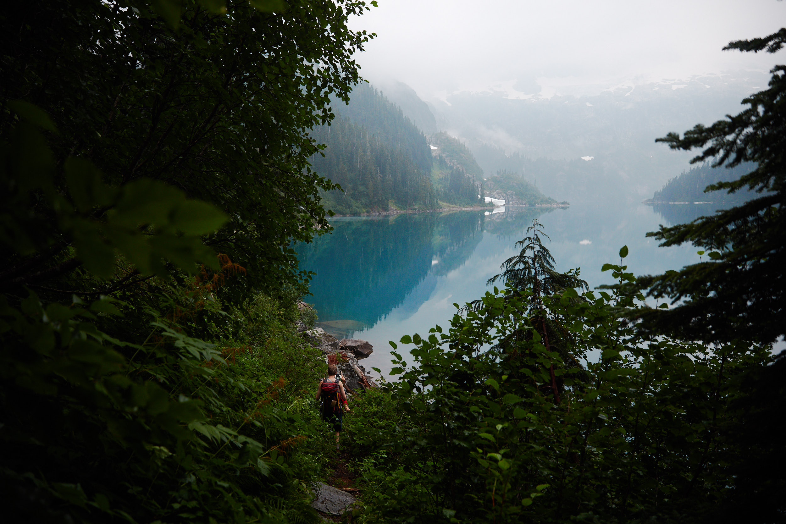
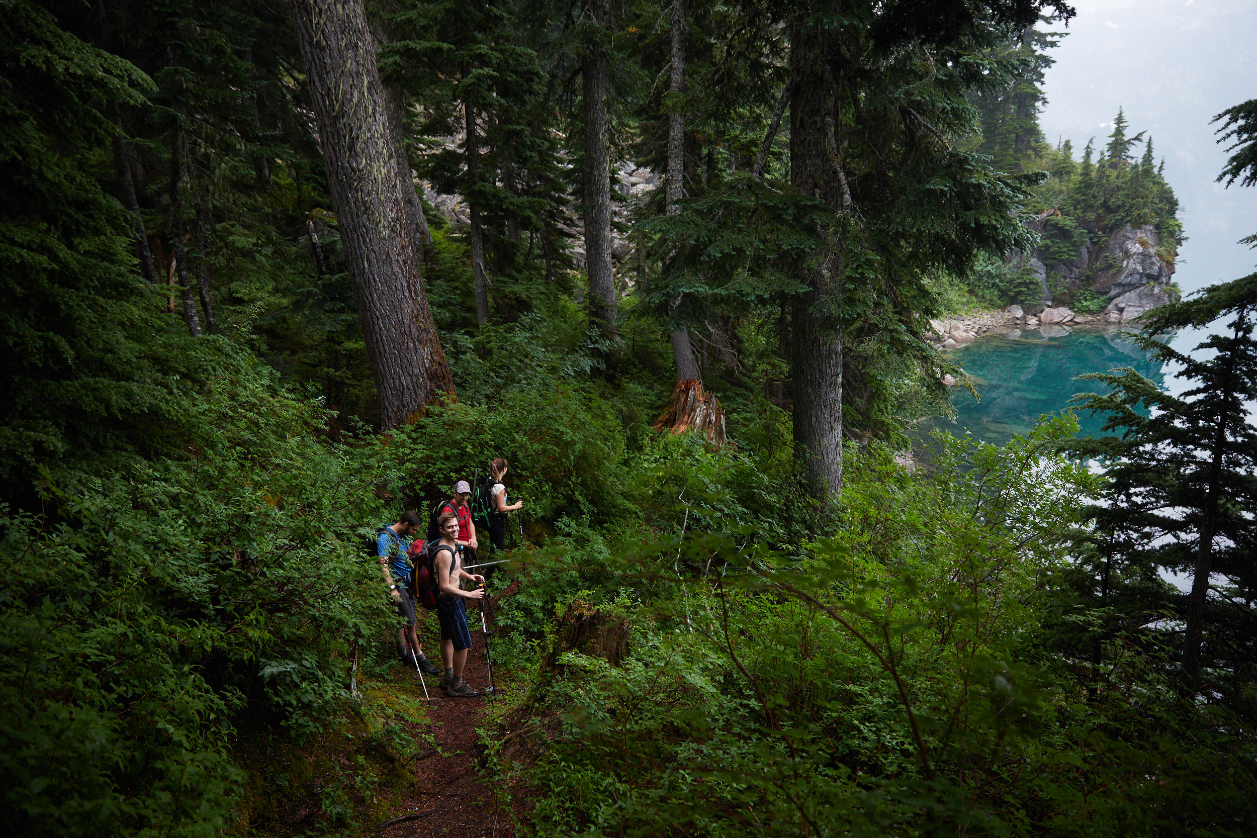
The next morning we made our way around the lake towards the beach and then up towards the peak of Iota.
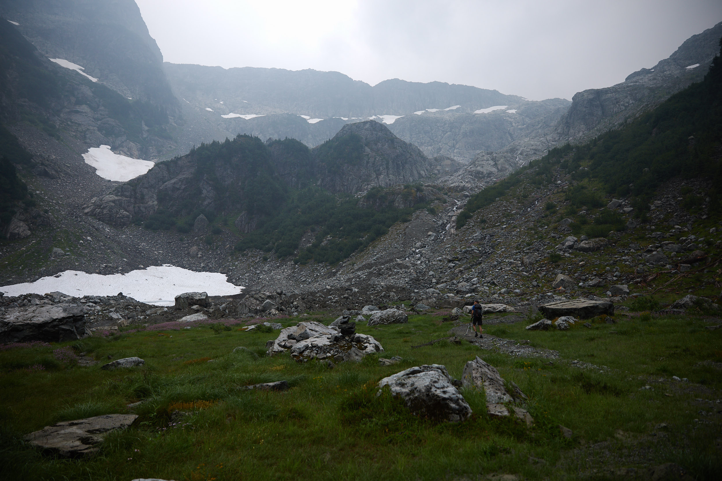
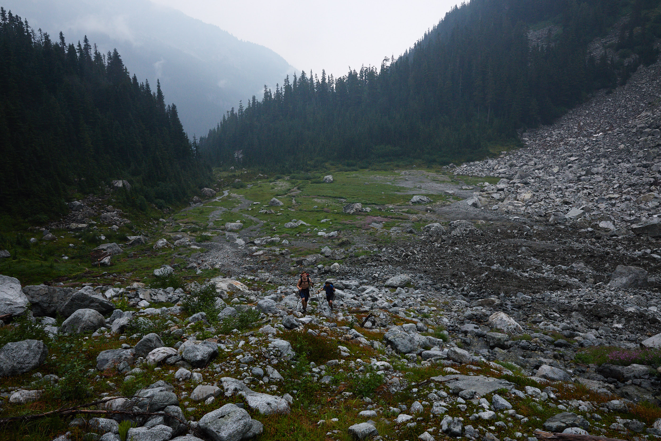

Fairly quickly we reached the upper snow fields, where we put on micro spikes.
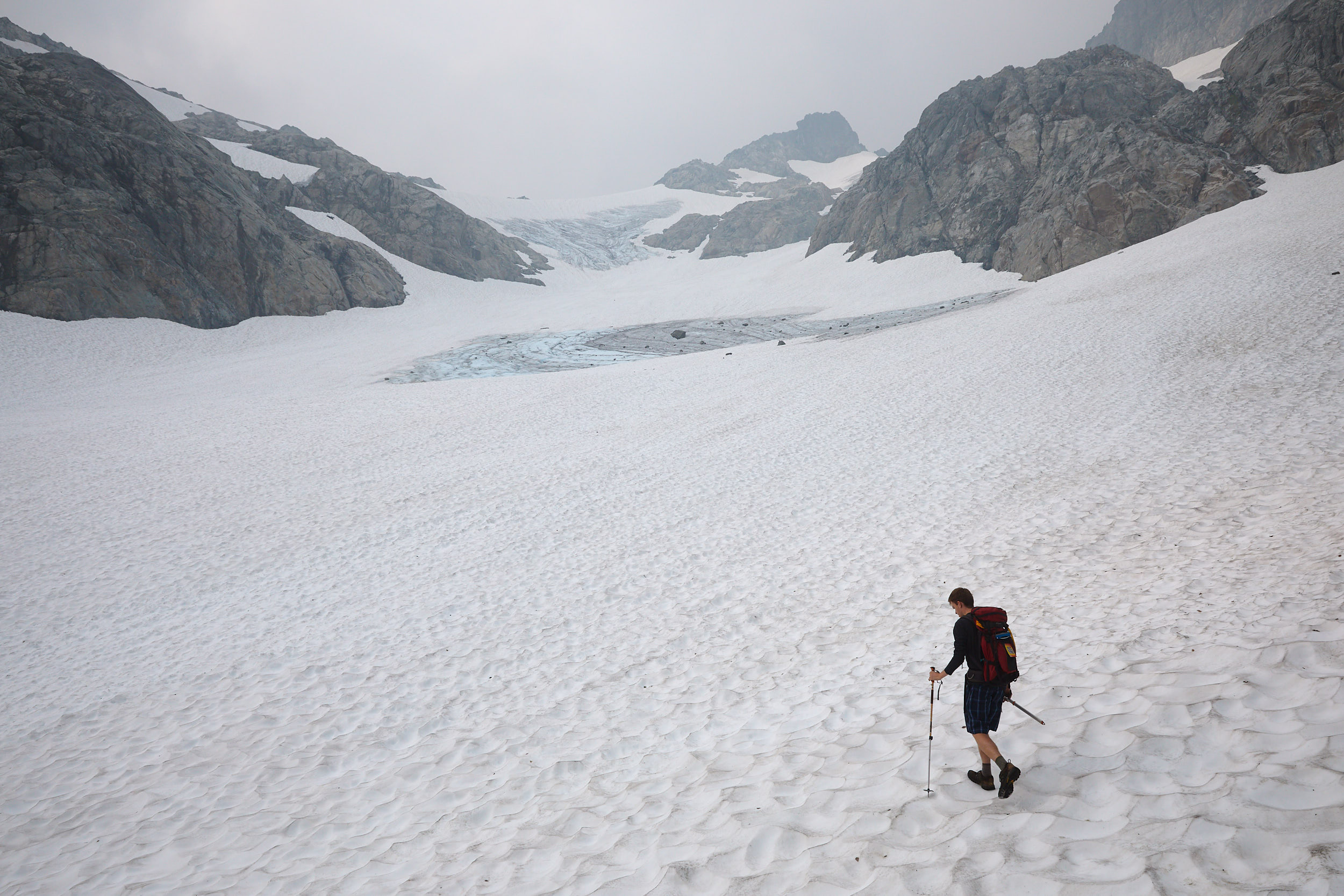
While the clouds had lifted a little, unfortunately it was replaced with forest fire smoke.
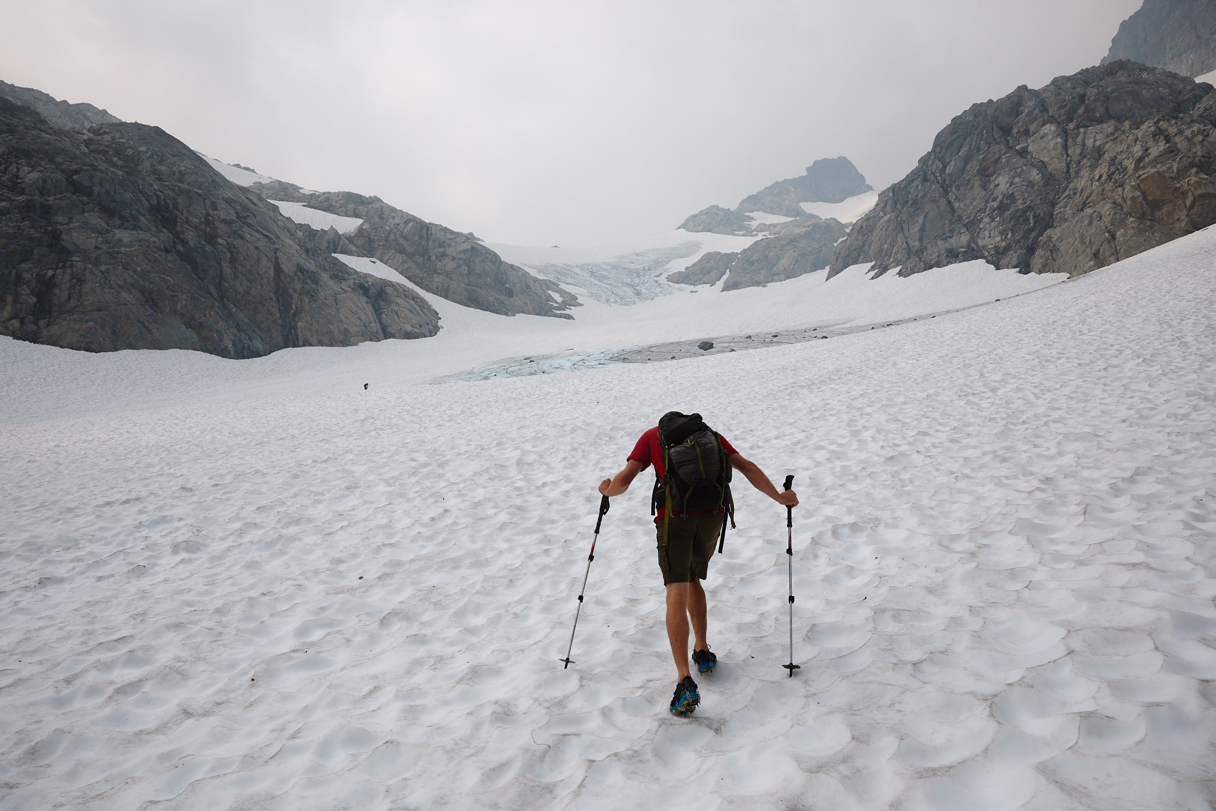
The snow wasn’t too hard or soft, so it was easy going towards the summit.
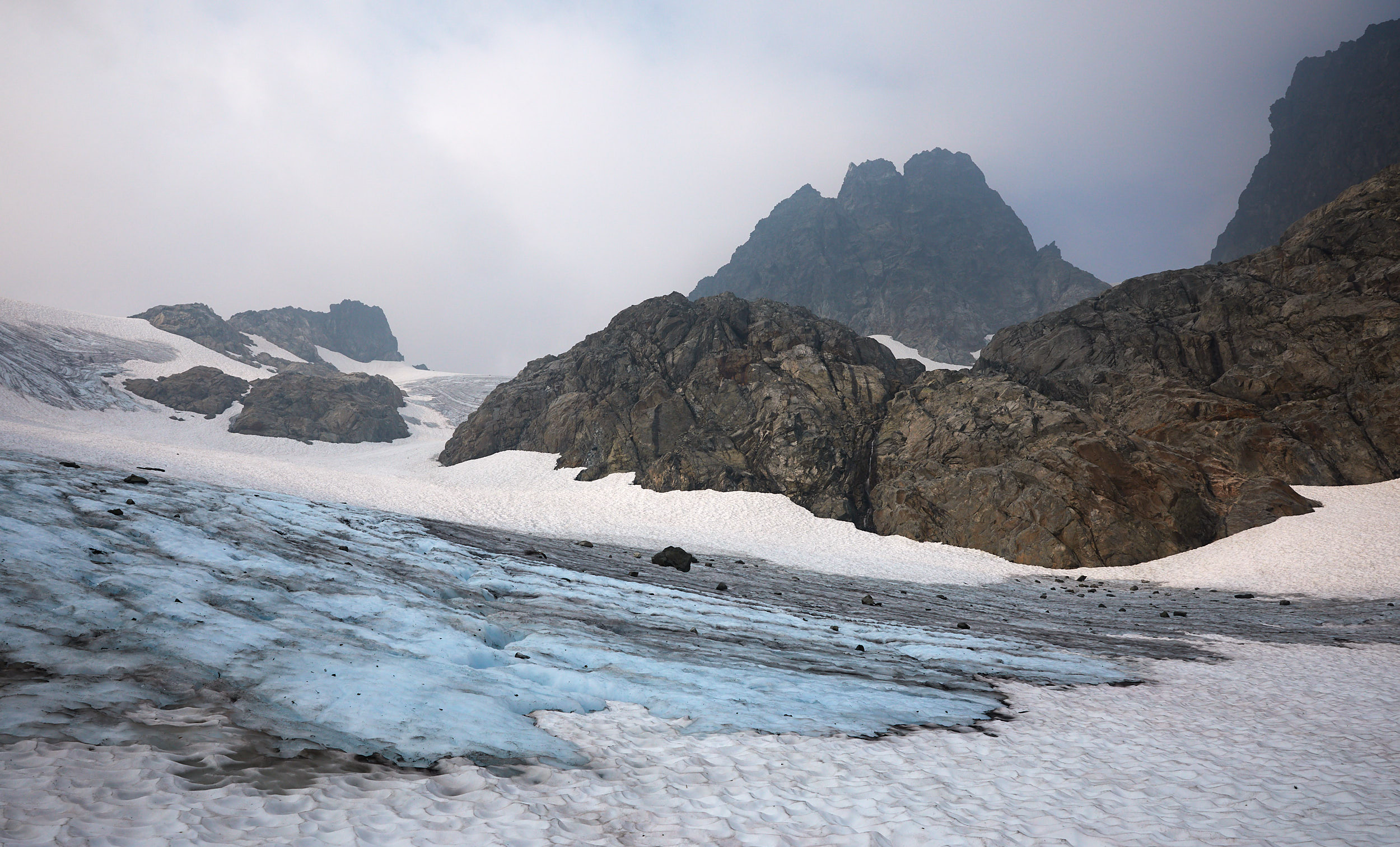
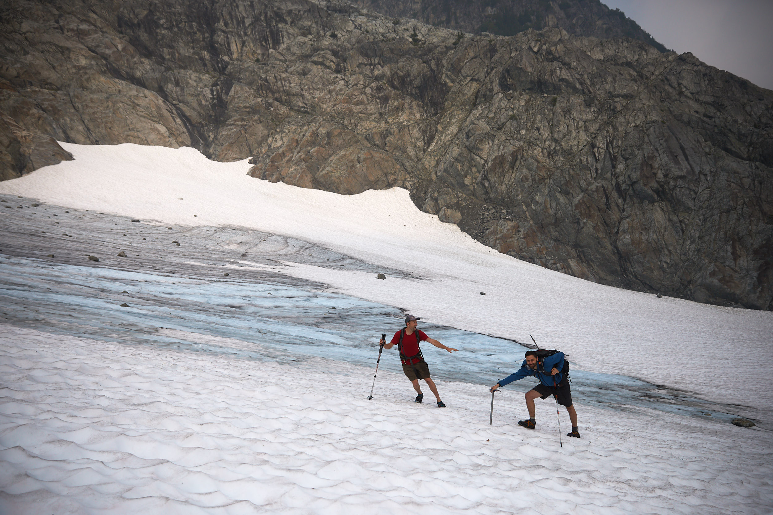
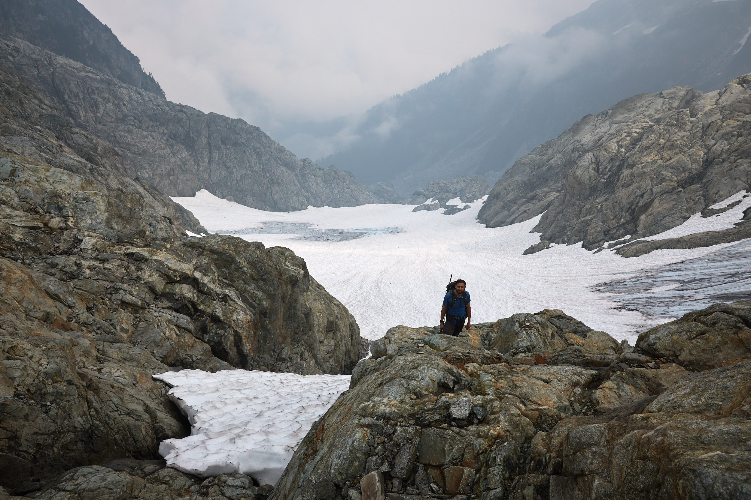
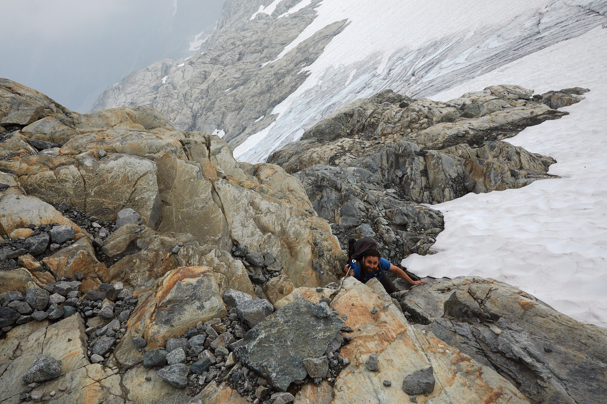
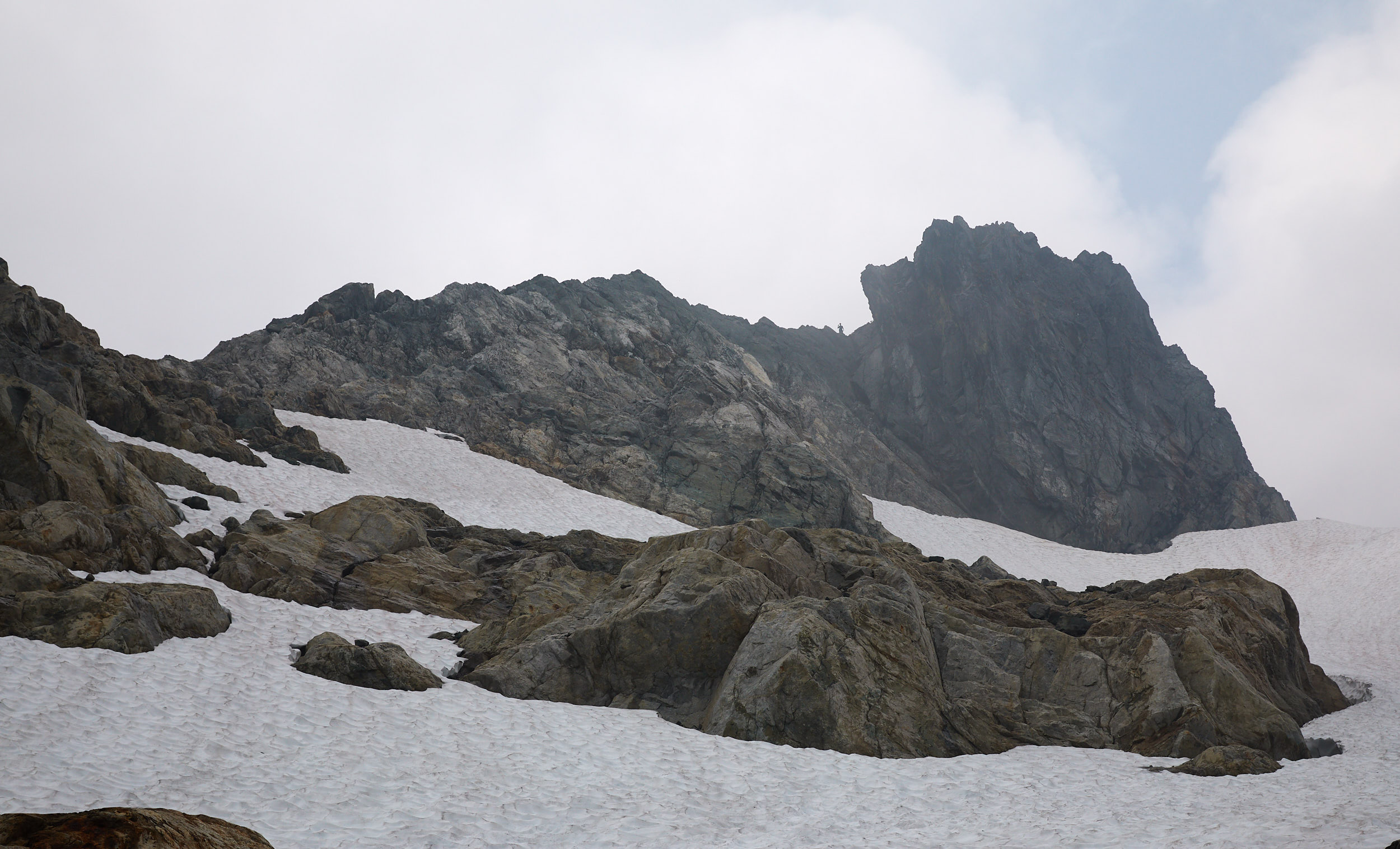
The summit in the distance.
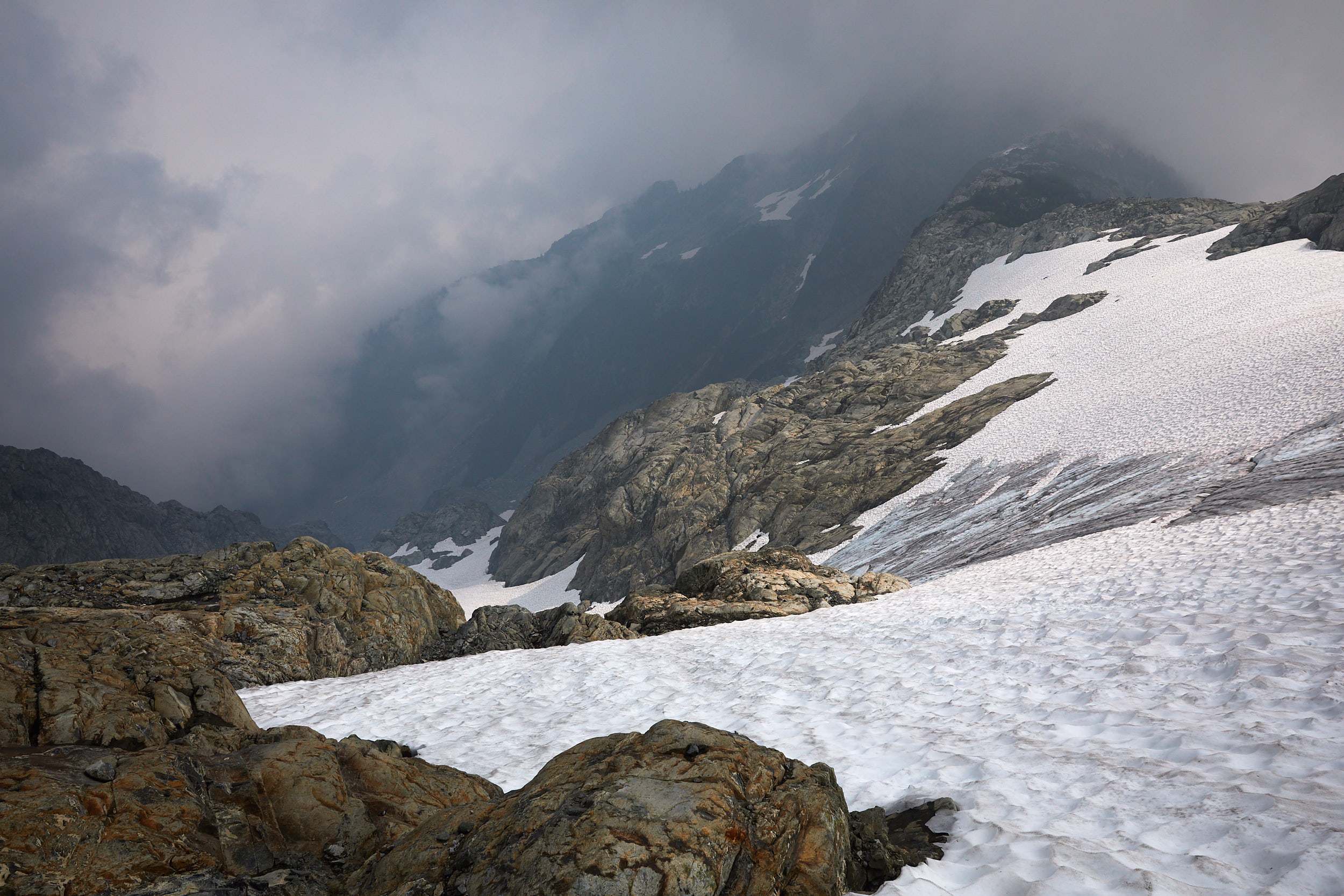
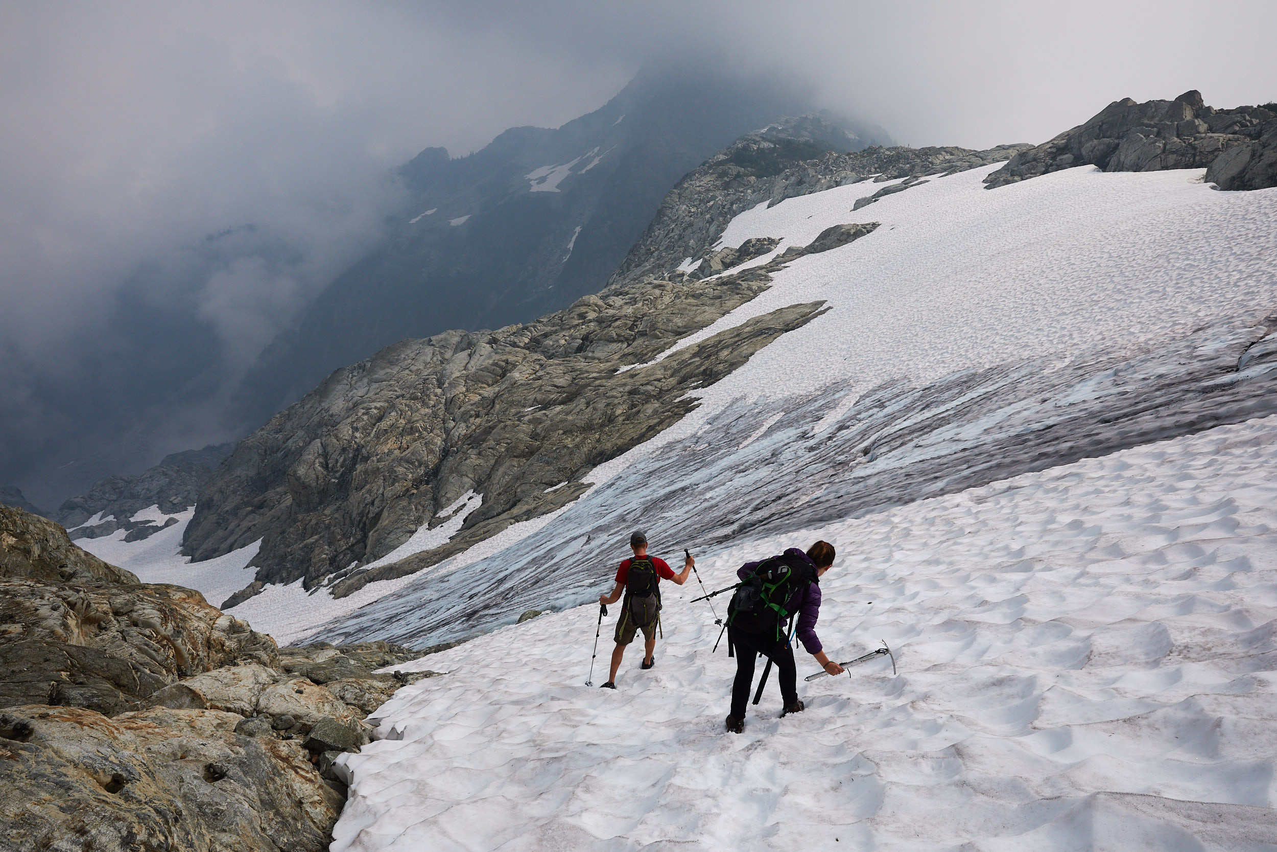
It was quick going down with great conditions for glissading.
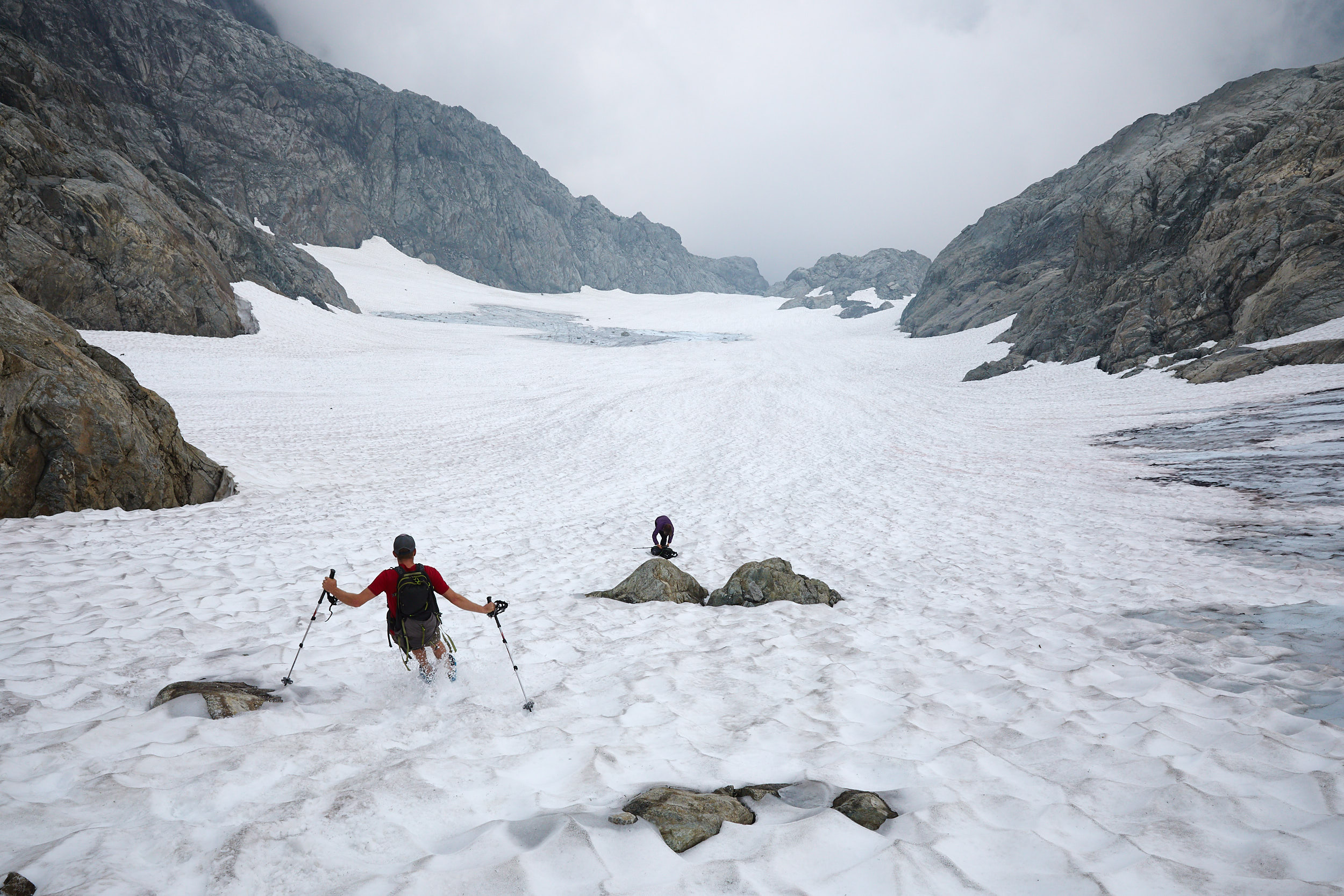
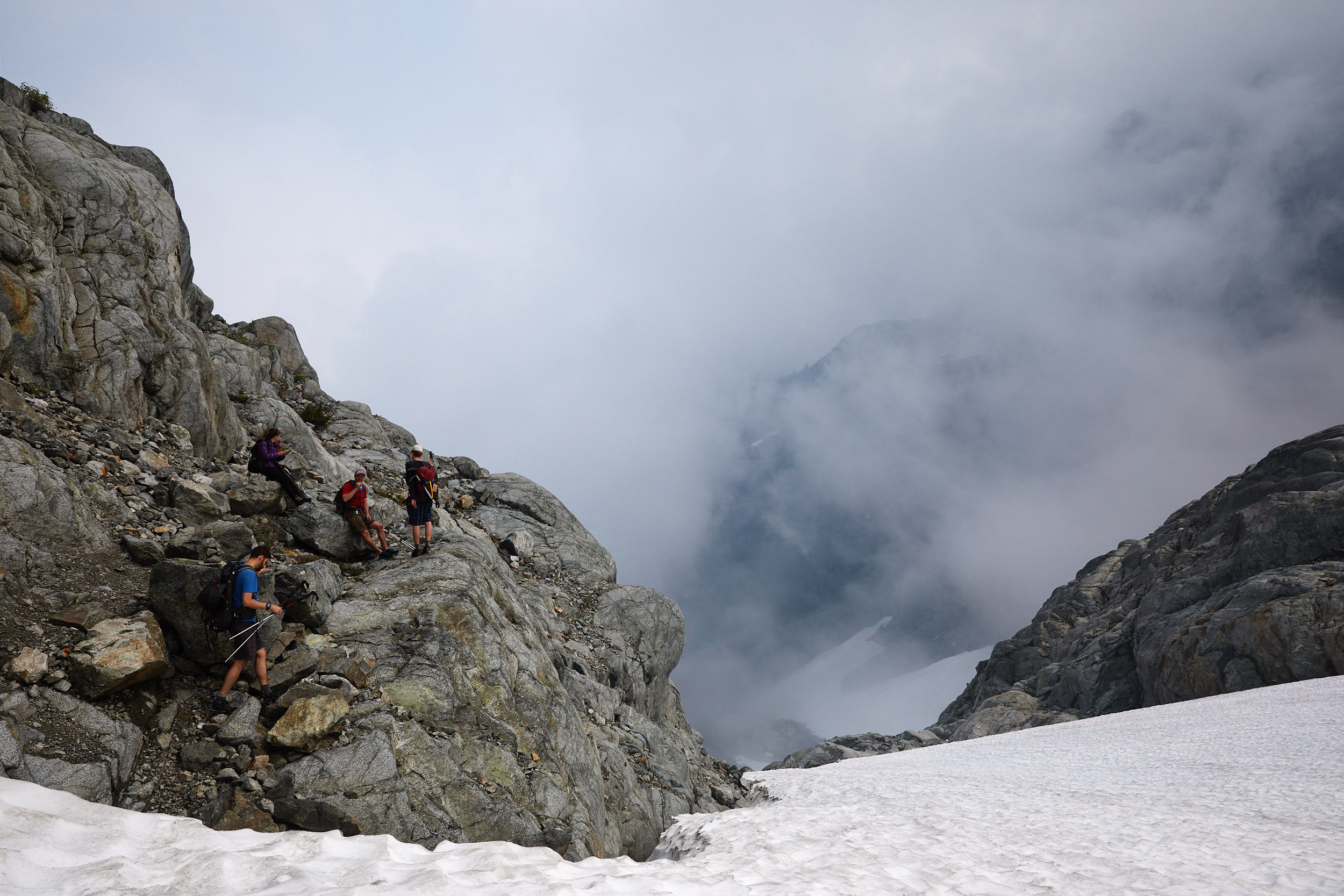
We stopped for quick break after the snow to have some food. After this we headed back to camp quickly to take down the tents, as we had to be back down to the river by 5 for our boat pickup. We did end up making it just in time but the almost 2000m of descent that day definitely took a toll on our legs. We were all super stiff the next few days and walking like Frankenstein.
